Cirque of The Towers 2024
Note
I took a lot of video on this trip. I’m going to edit it into something fun. I’ll link that here when it’s ready.
Mike, Joe, Bill, Joe, and I survived our second annual wilderness week backpacking trip. Here is my report.
Arrival
We each fly and land in to Salt Lake City while Mike drives two days from San Francisco to pick us up. The airport is teeming with Mormon families screaming with signs to welcome home their missionaries. We pick up final food and liquor and Mike just keeps driving us North, up and up. That first night we set tents just before dark and make a fire and see the stars in Wyoming next to Fremont Lake.
Sacred Rim
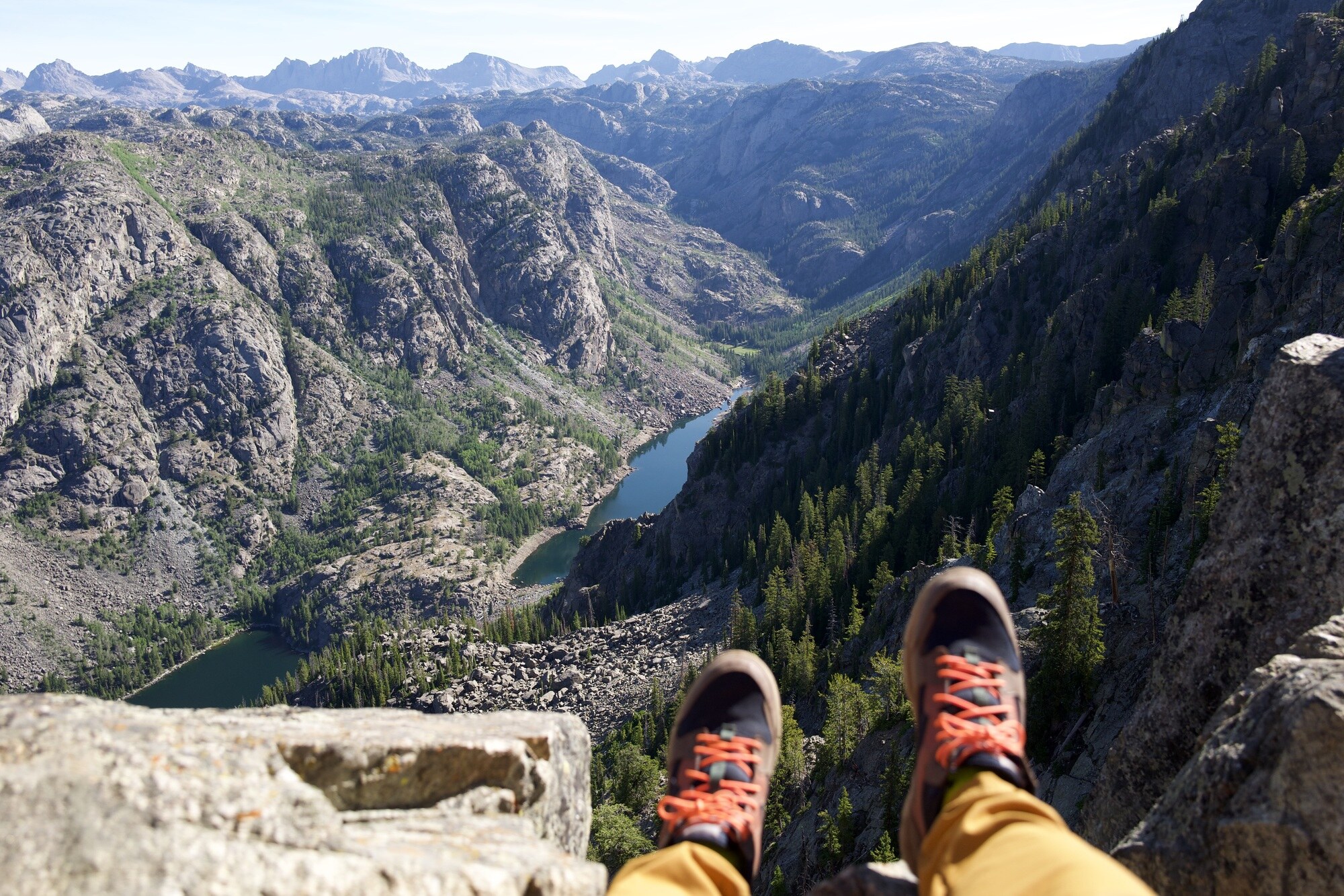
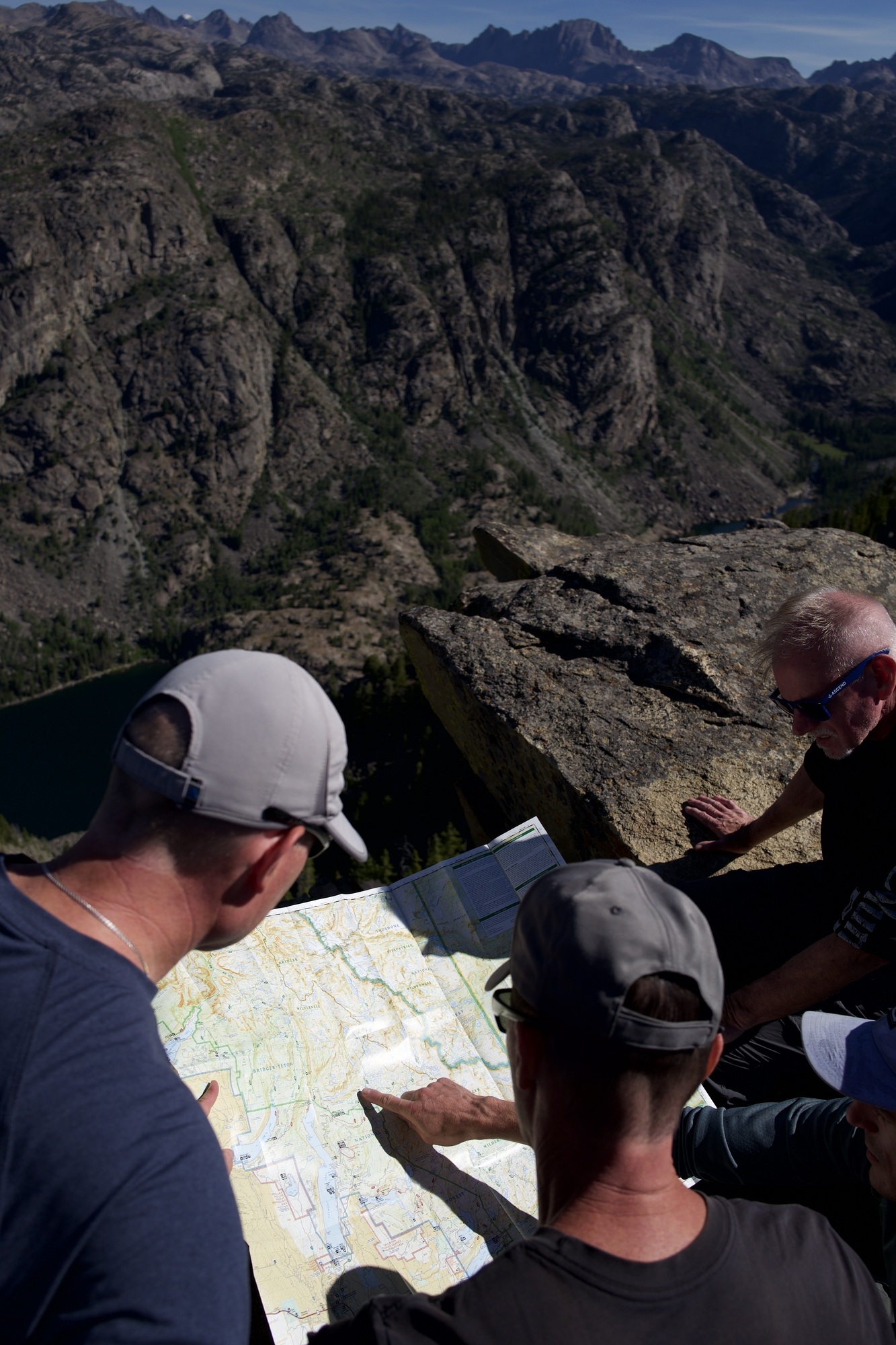
The next morning we’re up at dawn to start acclimating to the altitude; we hike up to Sacred Rim. We’ve set up camp at 9,000ft but soon we’ve got our feet dangling over the edge of 9,800ft, sucking wind. Bill insisted on this one and it did not disappoint.
Half Moon Lake
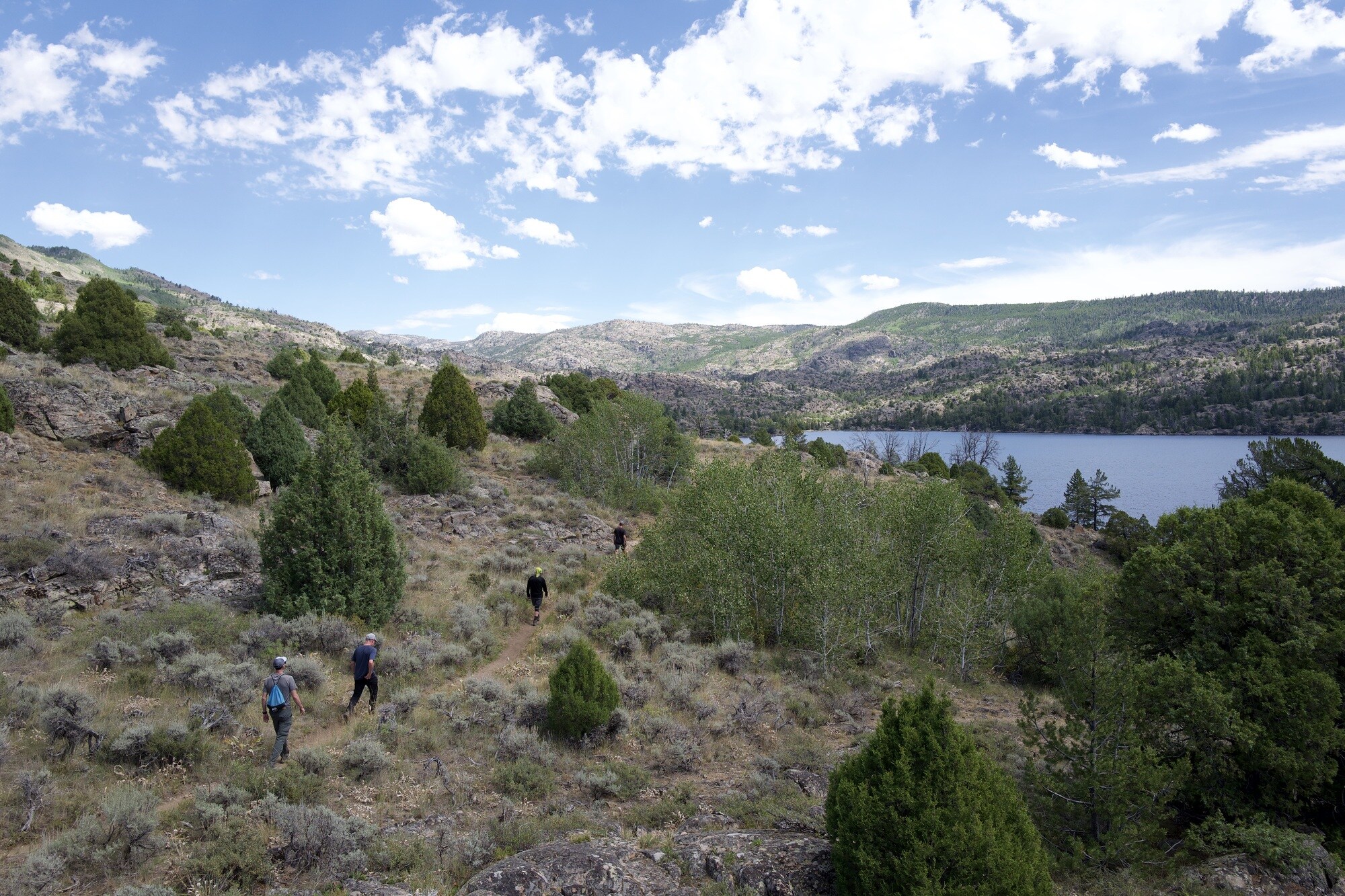
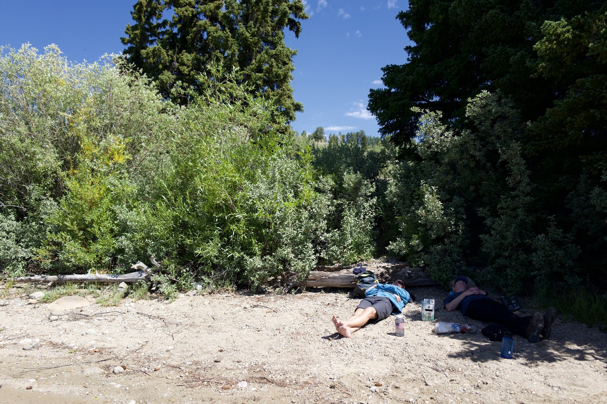
We climb back down to eat lunch and hike around Half Moon Lake. The truck’s thermometer reads over 100ºF and it sure does feel that way. The cold water is welcome on our feet.
Fremont Lake
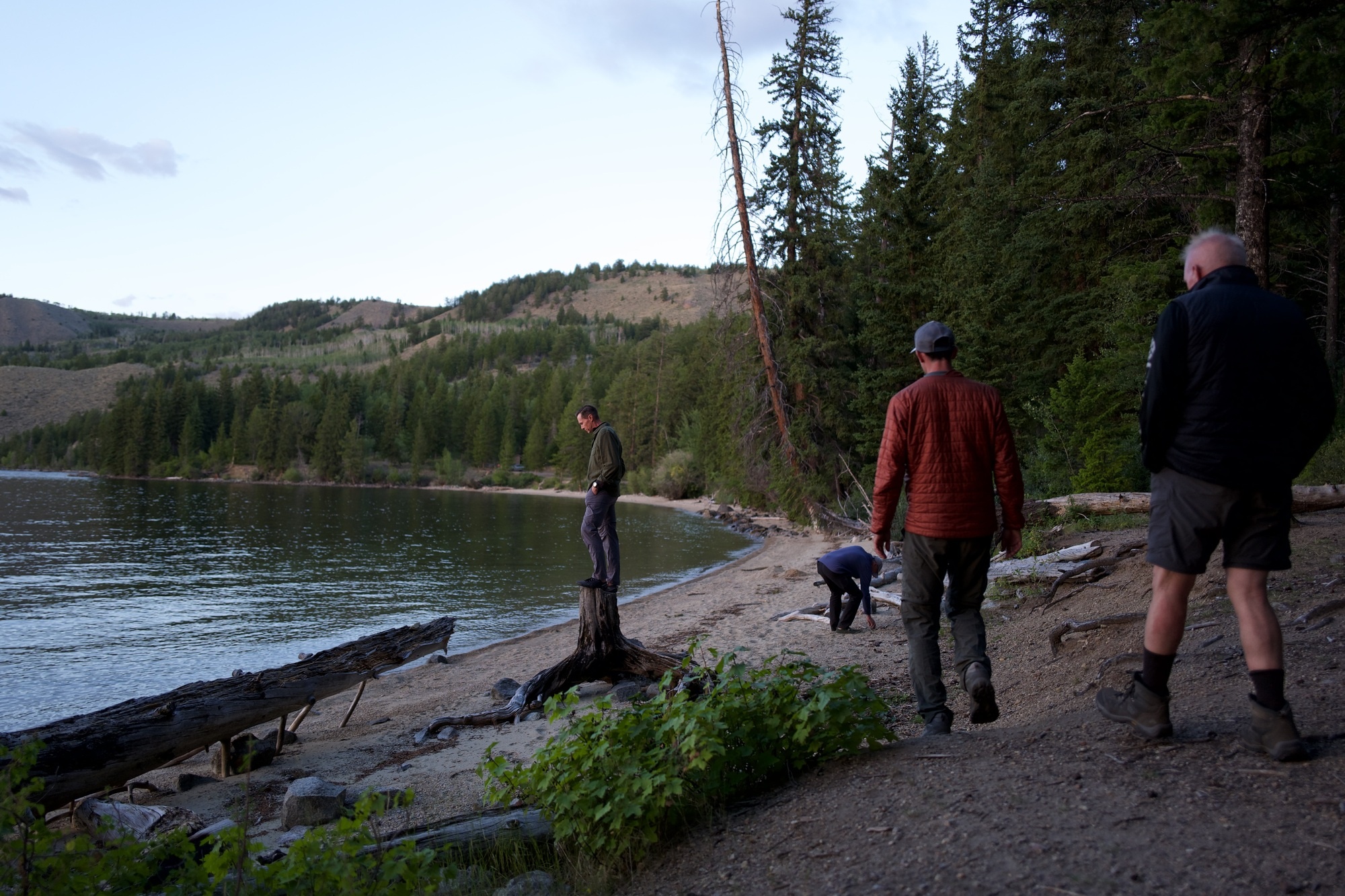
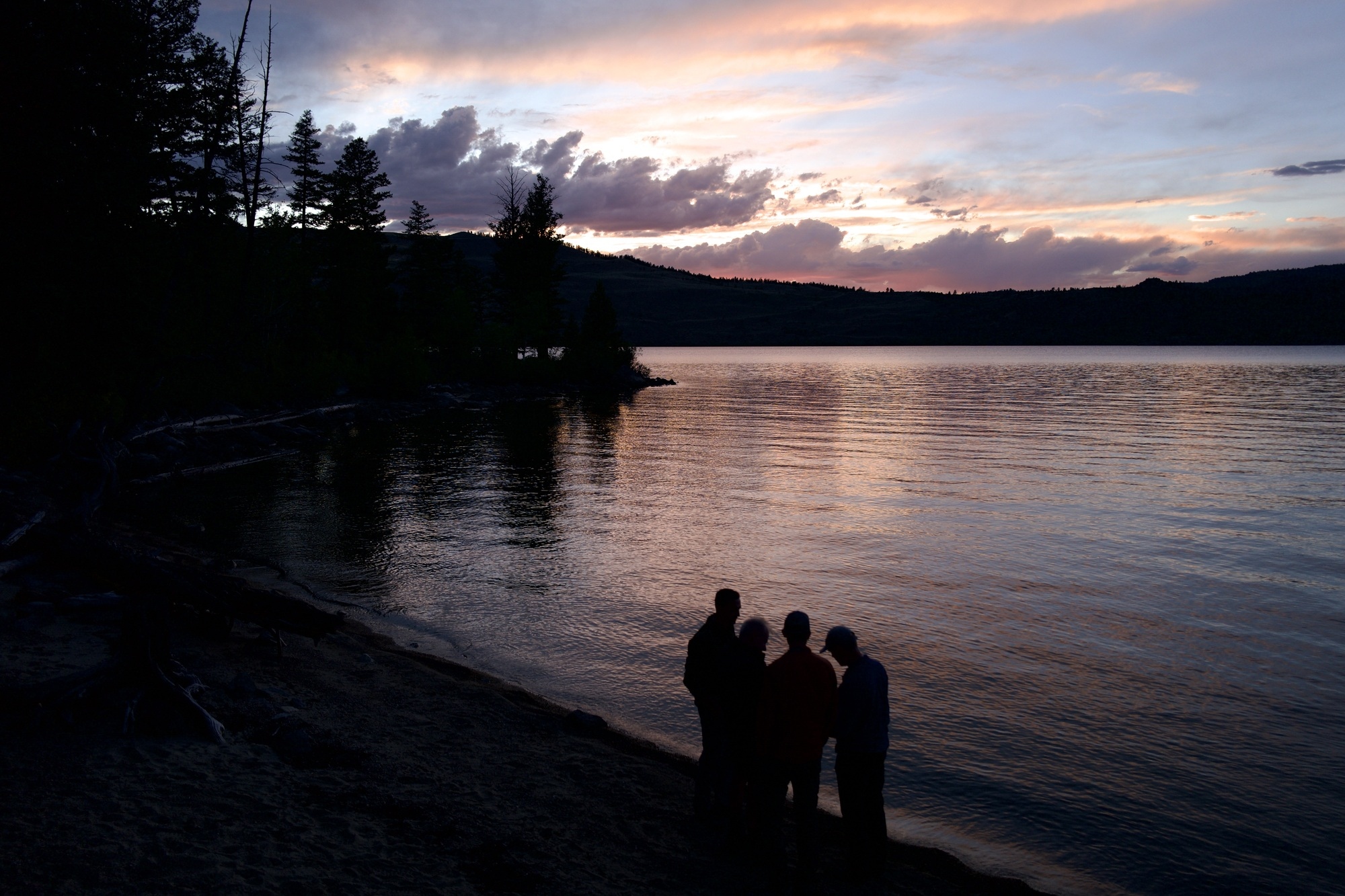
That evening, exploring more of our campsite at Fremont Lake, we finalize our plans for the big hike and debate whether we’ve acclimated enough for the rest of the trip and what superpowers we’d wish upon ourselves.
Skull Lake
Our first day on the main hike (second day on the trip) we’re just forever hiking uphill, deeper into the Bridger National Forest, upward toward the Continental Divide. Starting at Big Sandy trailhead, we hike 10.5mi to 10,400ft. The packs are the heaviest they’re gonna be with a week’s worth of food and any significant incline forces me out of breath. But the views only get better. We finish at our first target: Skull Lake.
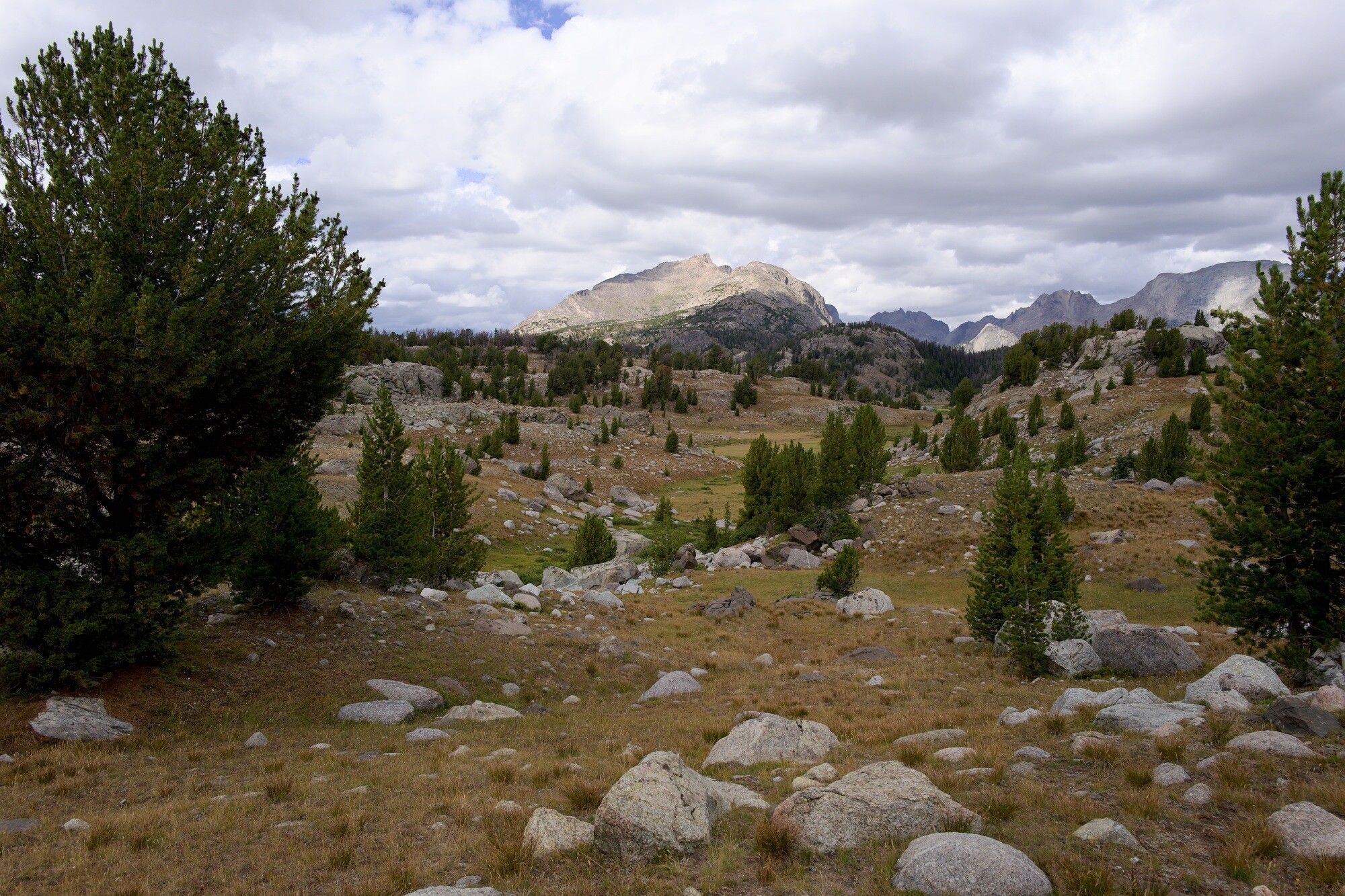
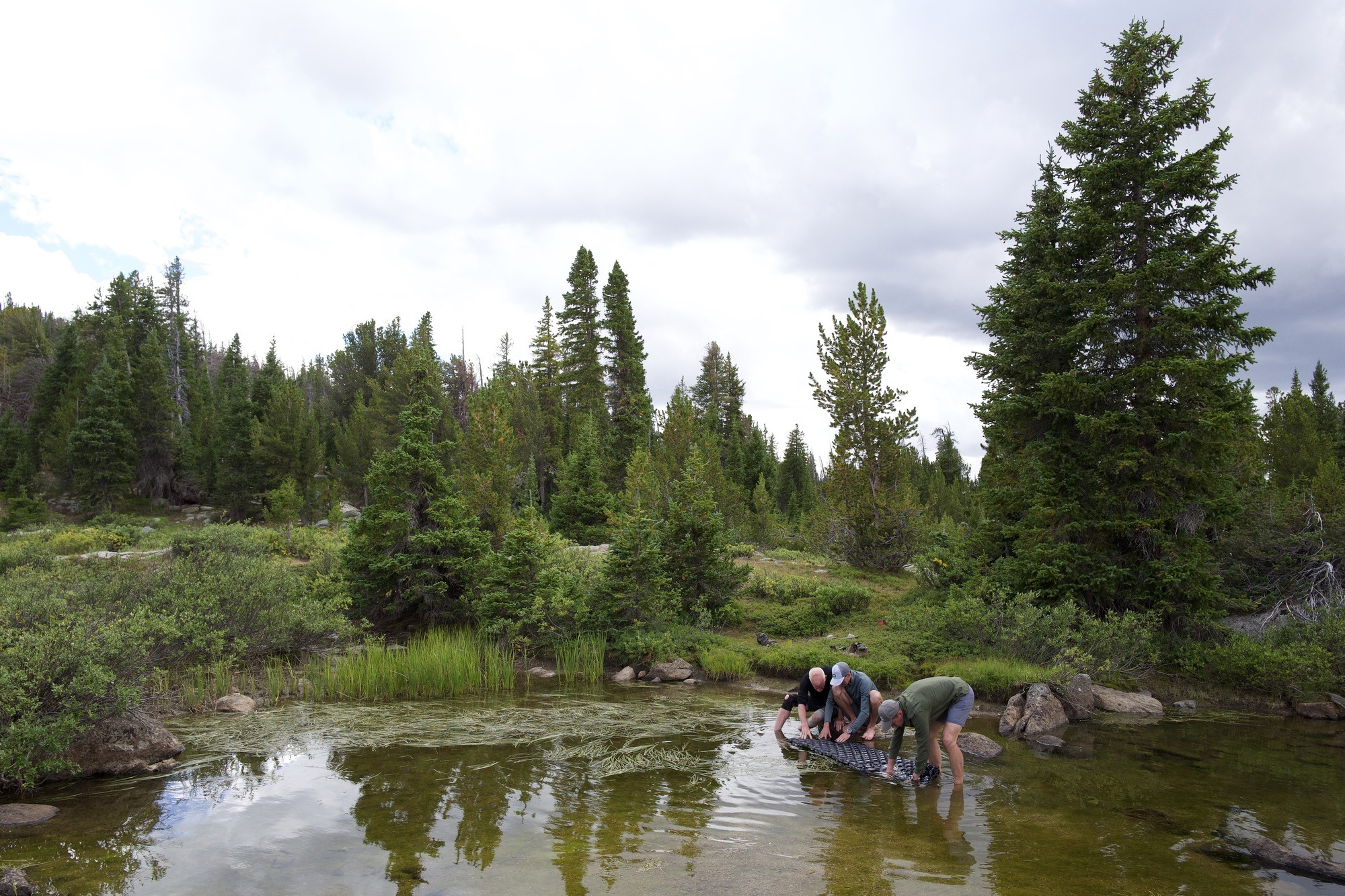
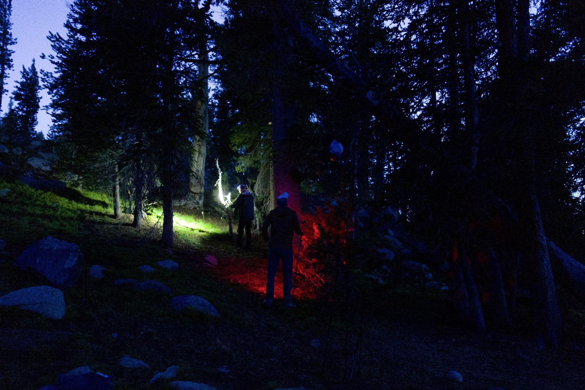
We have to drown Mike’s sleeping pad in lake water to find the hole letting air out every night, to get him some sleep. We’re only temporarily successful. I’m incredibly happy that there are many trees that make bear hangs easy for me and Joe on the first try.
Hailey Pass
The next morning, Saturday August 24, we’re up and out as the clouds burn off the mountains, ready for our first pass over the Continental Divide.
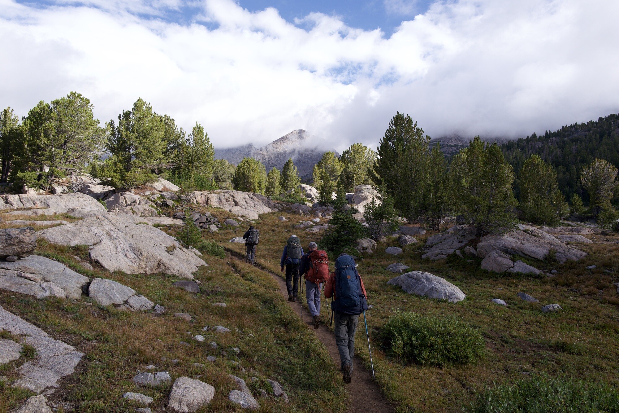
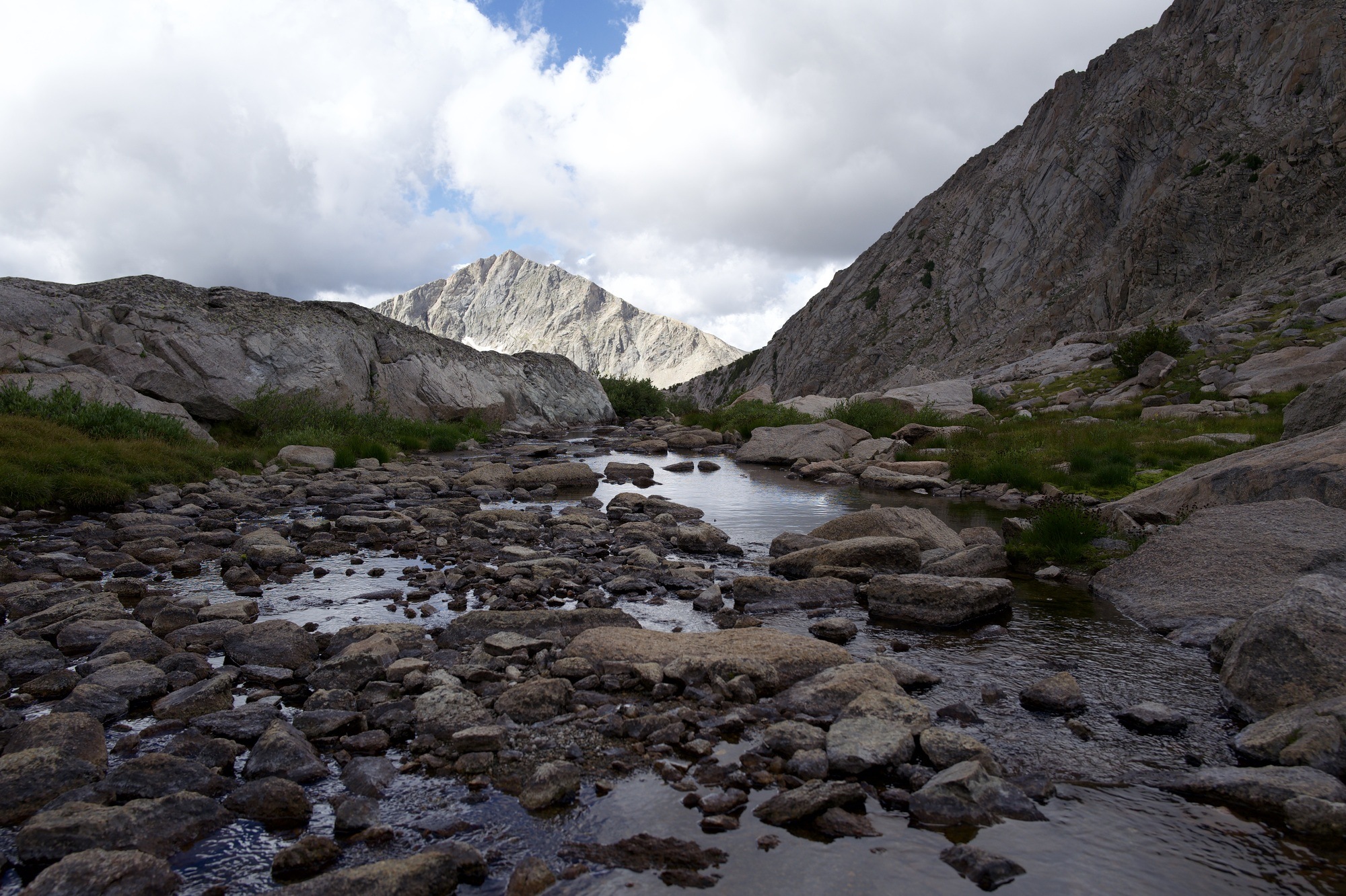
Hiking up Hailey, we criss cross a little stream and find an icy lake at the 11,200ft summit. Coming down the northern side of the mountain we’re hit with the strongest wind I’ve felt in years - enough to blow me down more than once. It’s slow going but the Pope Agie Wilderness is beautiful as the sun breaks through.
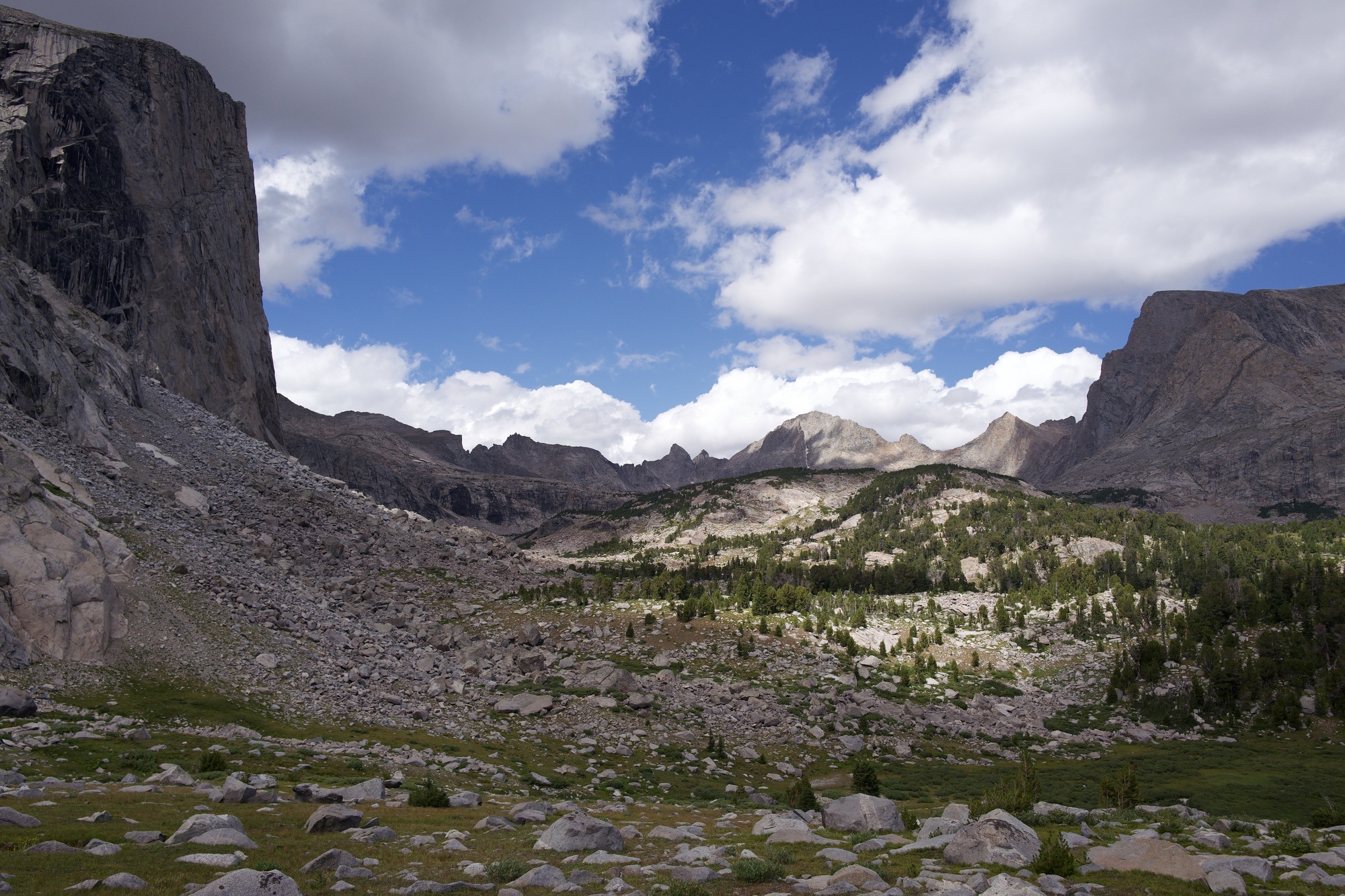
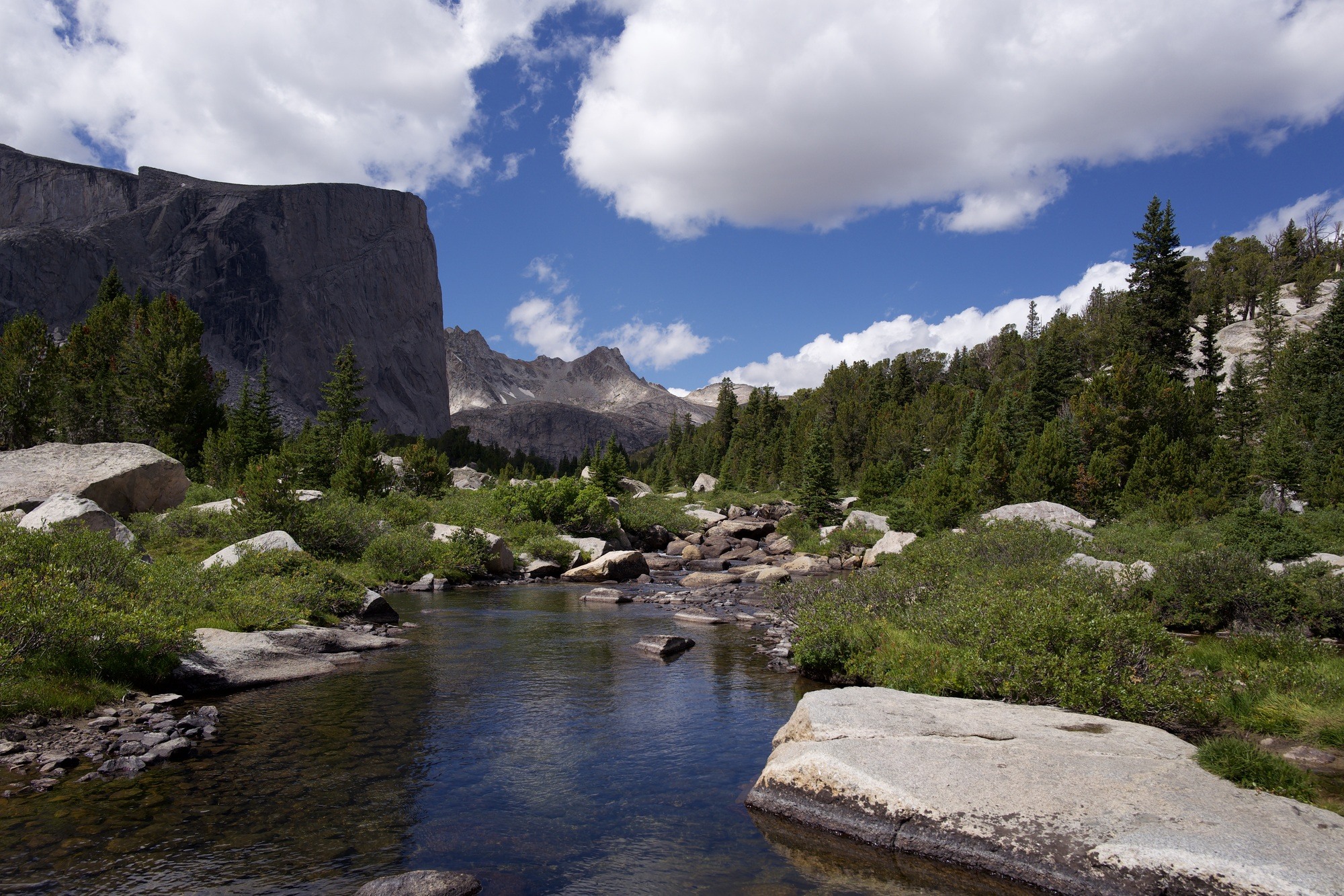
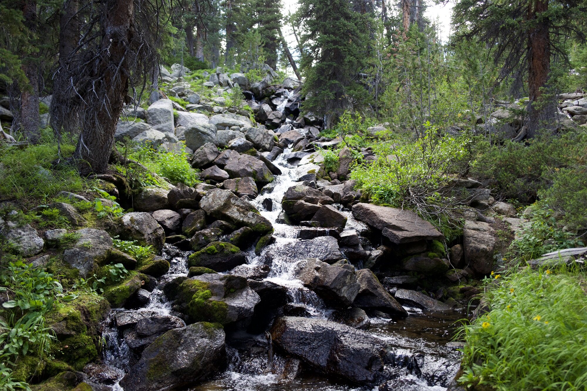
Onward along the expansive Grave Lake and after another few miles we enter the quiet, lush forest floor surrounding Little Wind River.
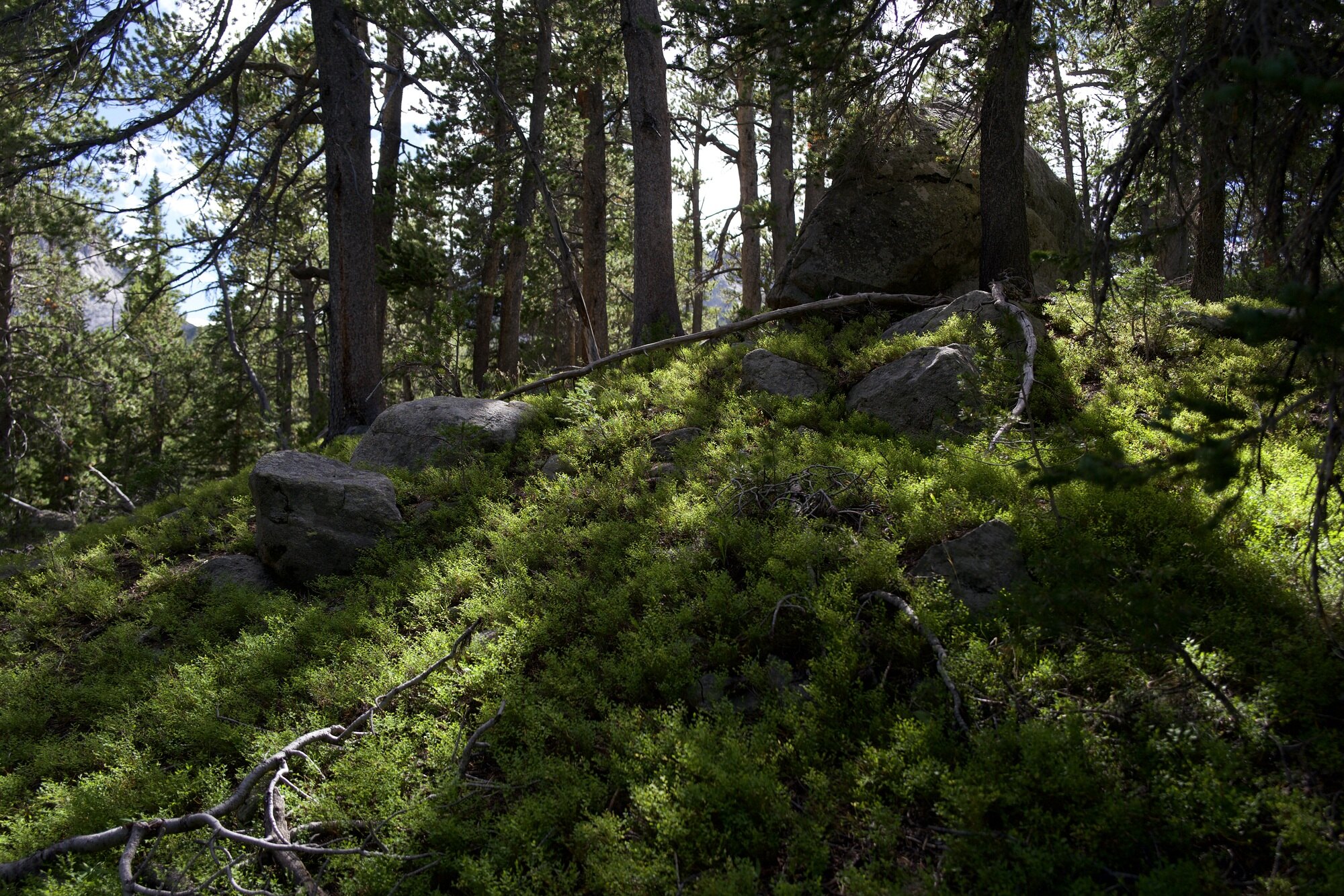
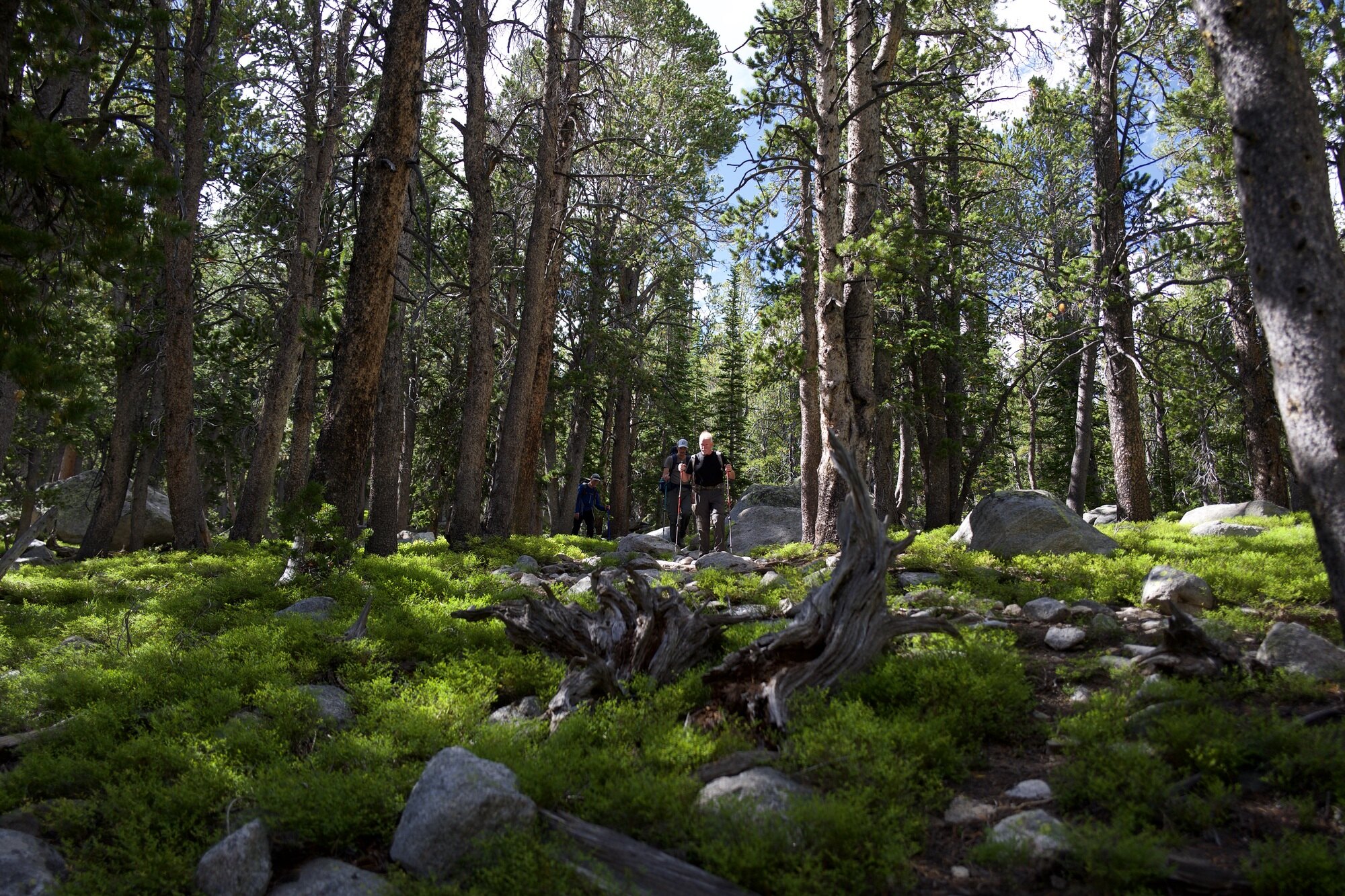
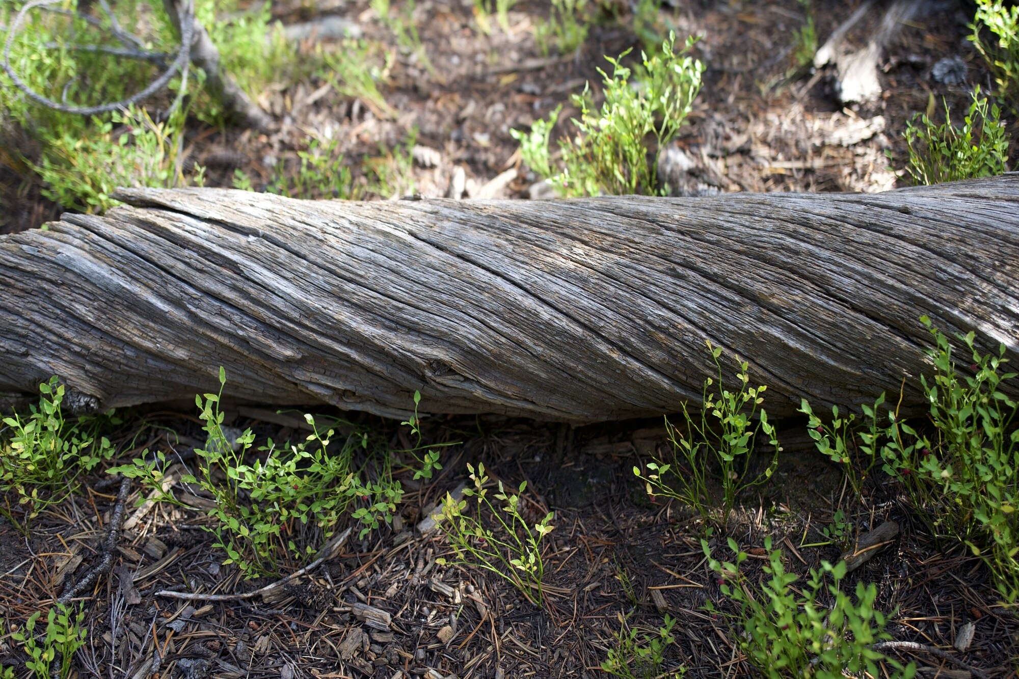
The trees are incredibly gnarled, and the dead limbs look impossibly twisted over and over upon themselves.
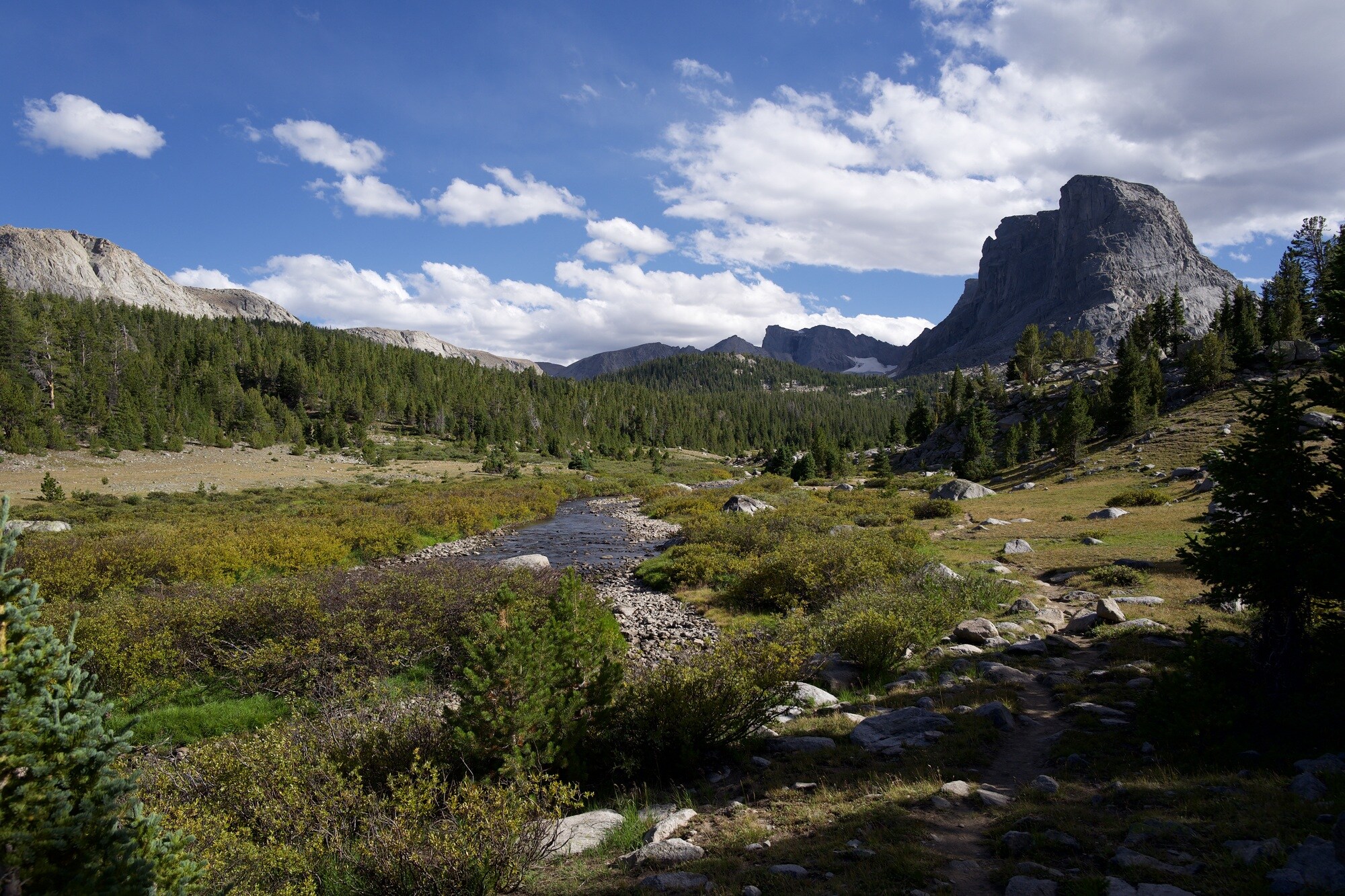
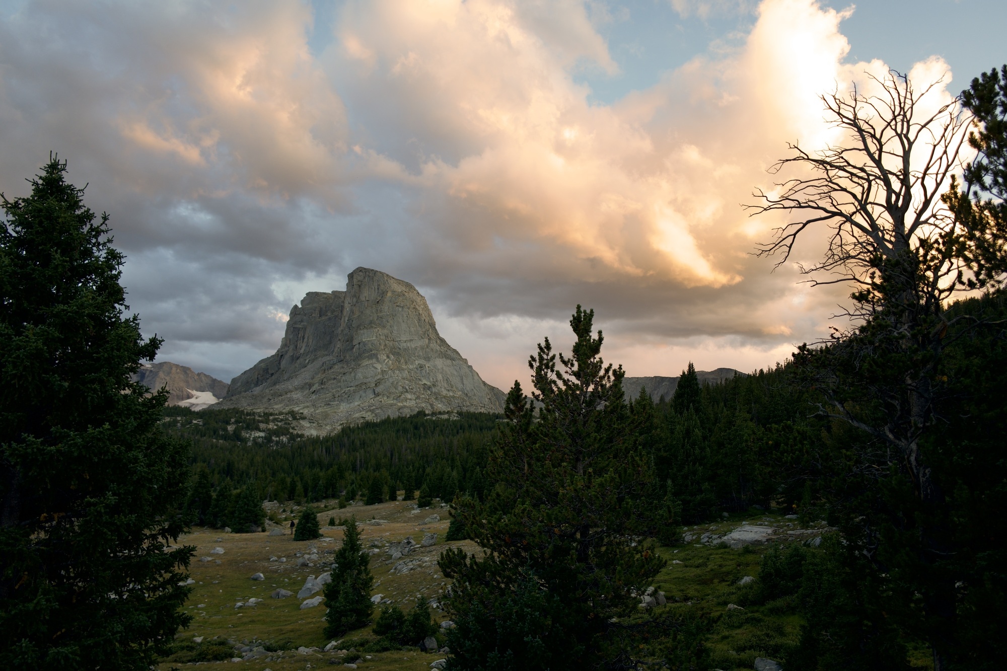
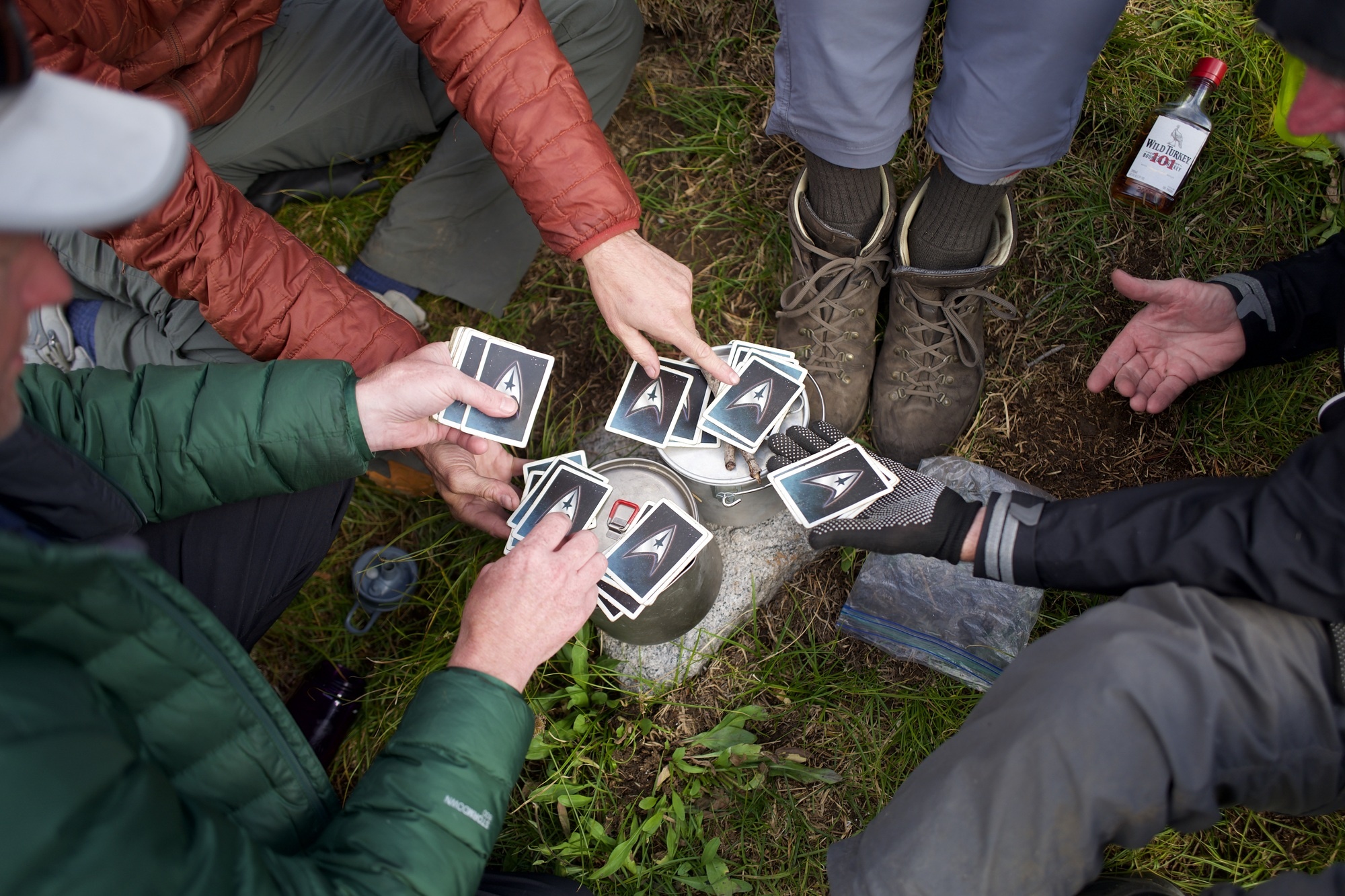
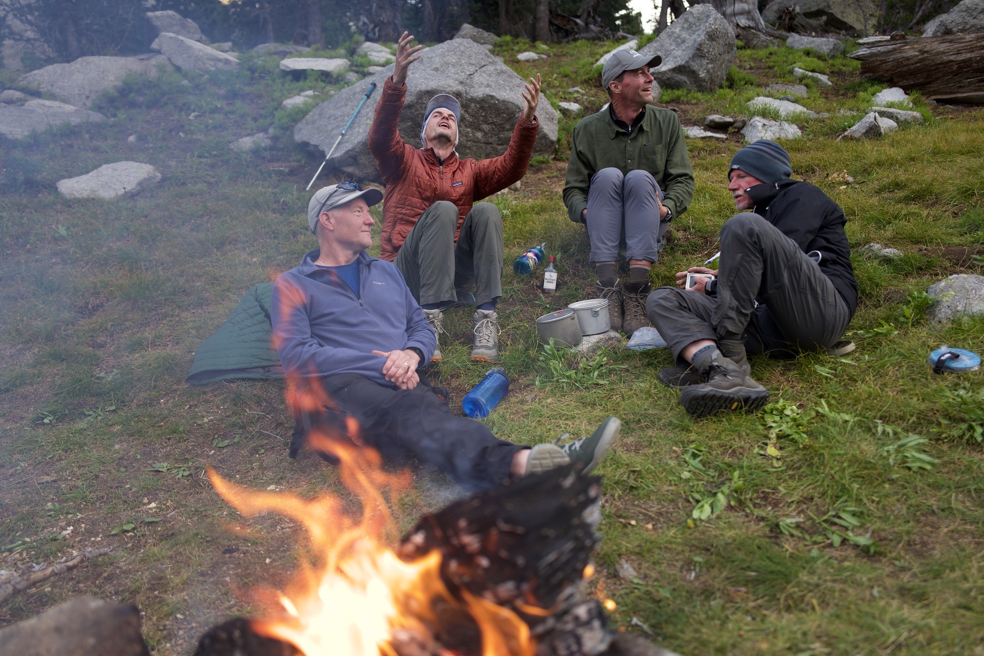
After hitting mile 10 and following the river some more we’re able to find an old hunting campsite beneath Payson Peak. The sunset is stunning even as the wind whips around the fire so much we have to cower behind a rock to cook our food. The Wild Turkey 101 we each brought is helpful.
Washakie Pass
The next morning is where soreness sets in, but it’s also when I finally am able to dial in the perfect placement of my slowly-lightening pack on my hips and shoulders.
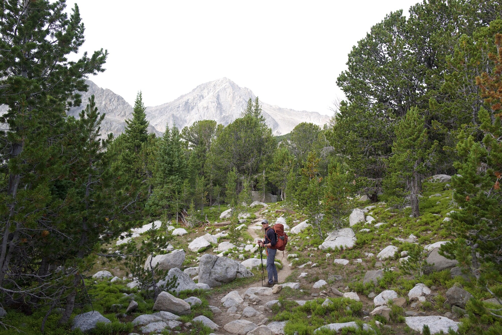
Joe stumbles into a pile of giant bones: a horse or moose tumbled from the rocky hillside.
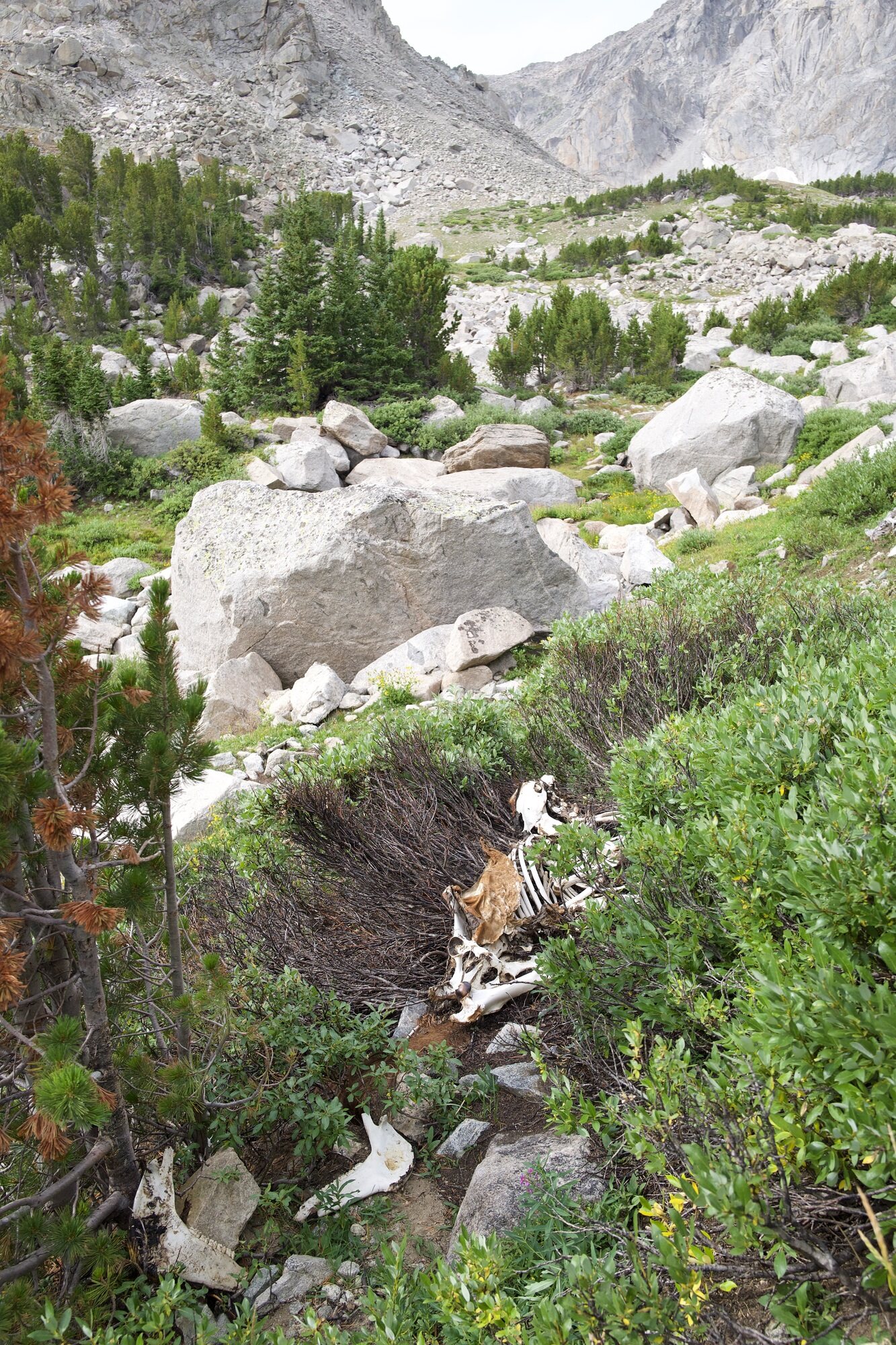
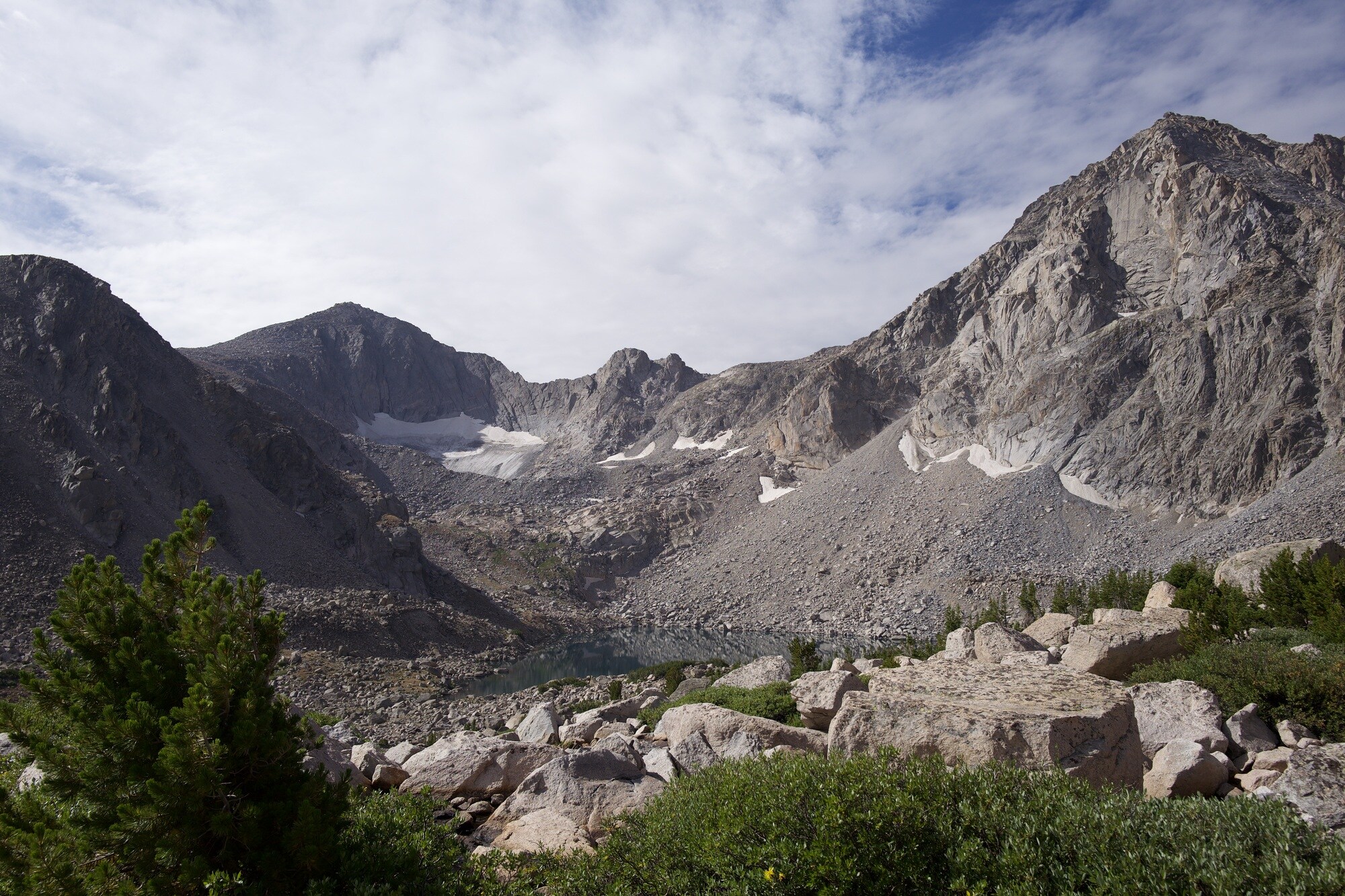
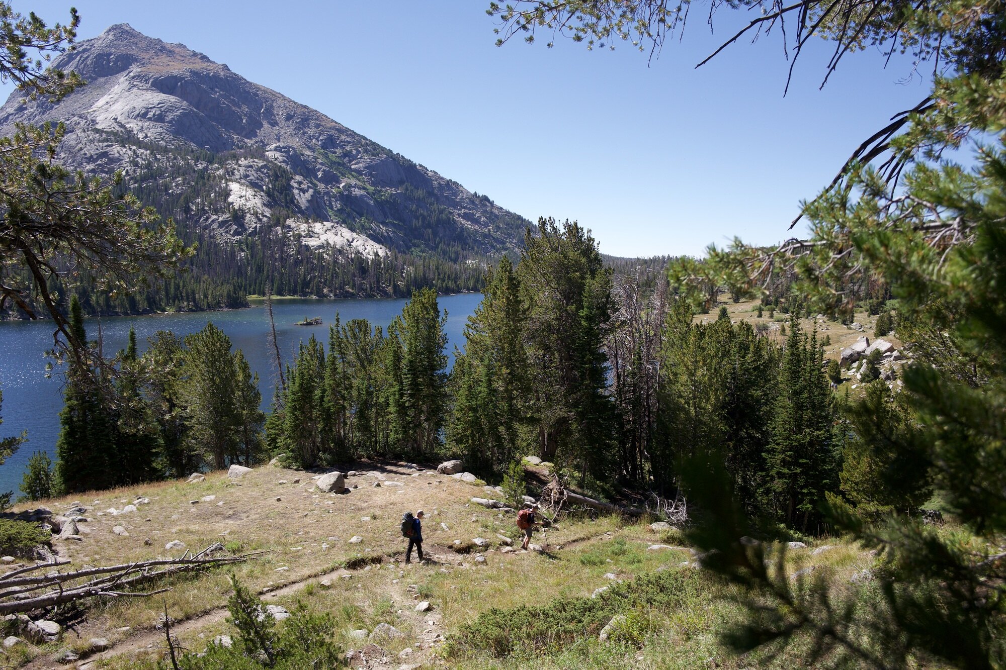
Hiking up Washakie Pass I’m in the lead and my breath comes easier. I’m calling back to the little pikas running around the rocks that wail warnings as I approach the top. Looking back North, you can see three levels of lakes between the mountains.
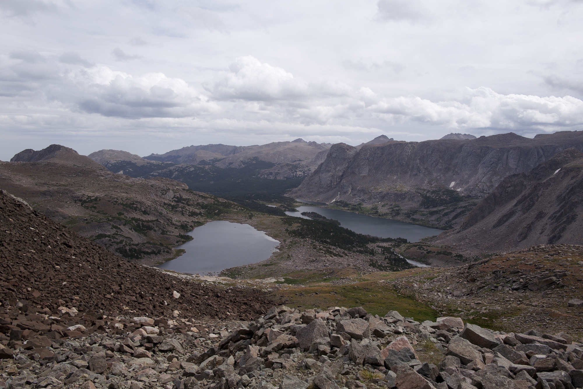
Mike runs down the southern side of the pass, into the sunshine. He must also have dialed in his pack fitting.
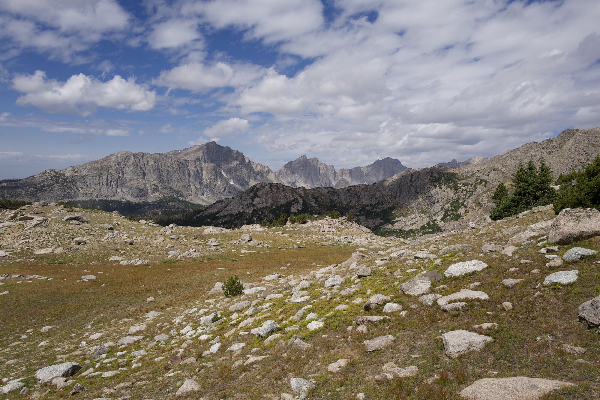
We’re able to eat lunch in some shade next to a stagnant lake and just barely make out the peaks of the Cirque of The Towers in the distance.
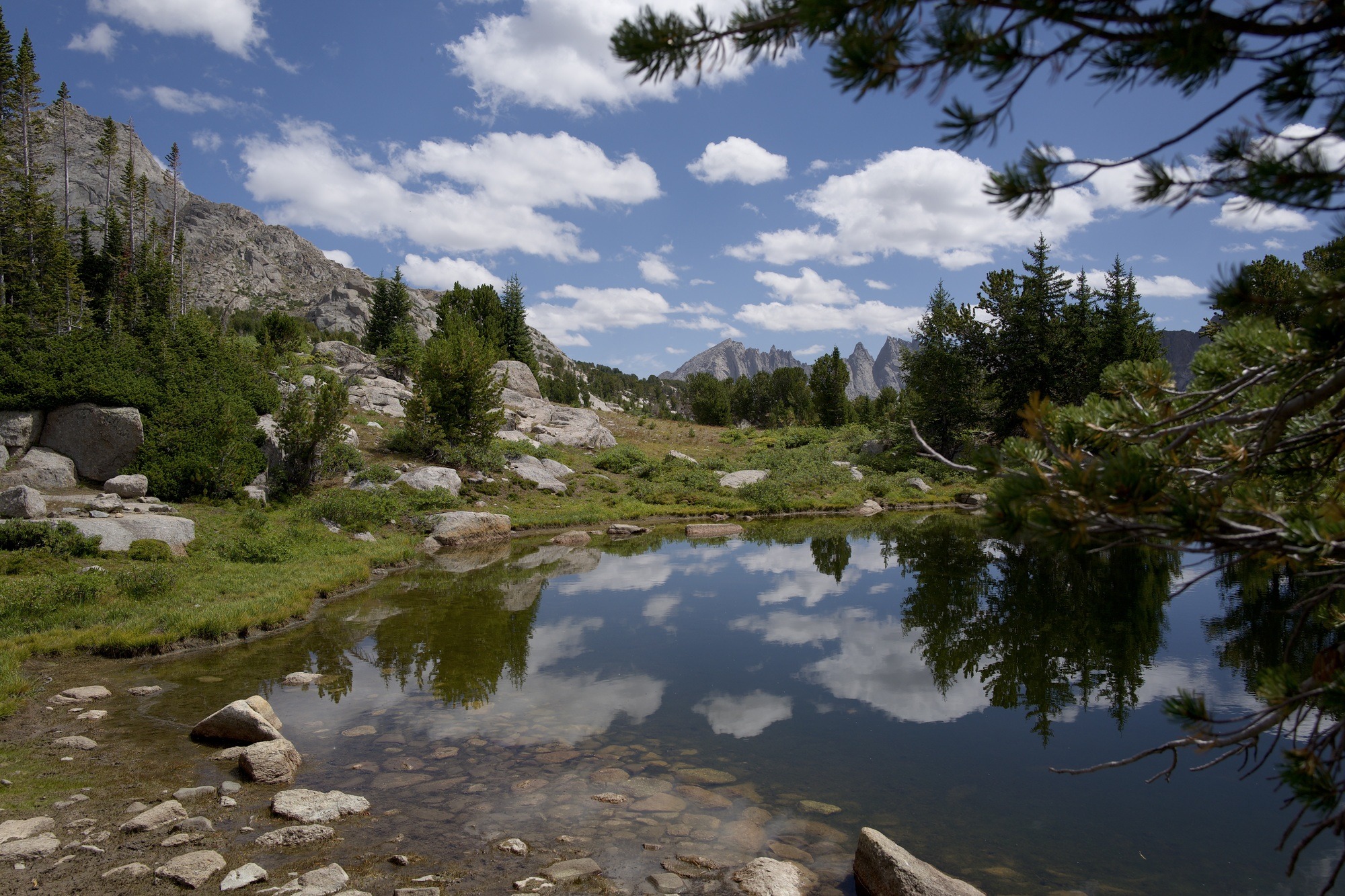
One final push through the burning sun along Shadow Lake Trail and we’re able to winnow our way into a prime campsite alongside Shadow Lake. We’ve done 9.7 miles. We’re within shouting distance of someone’s llamas. We’re also in the shadow of the Cirque.
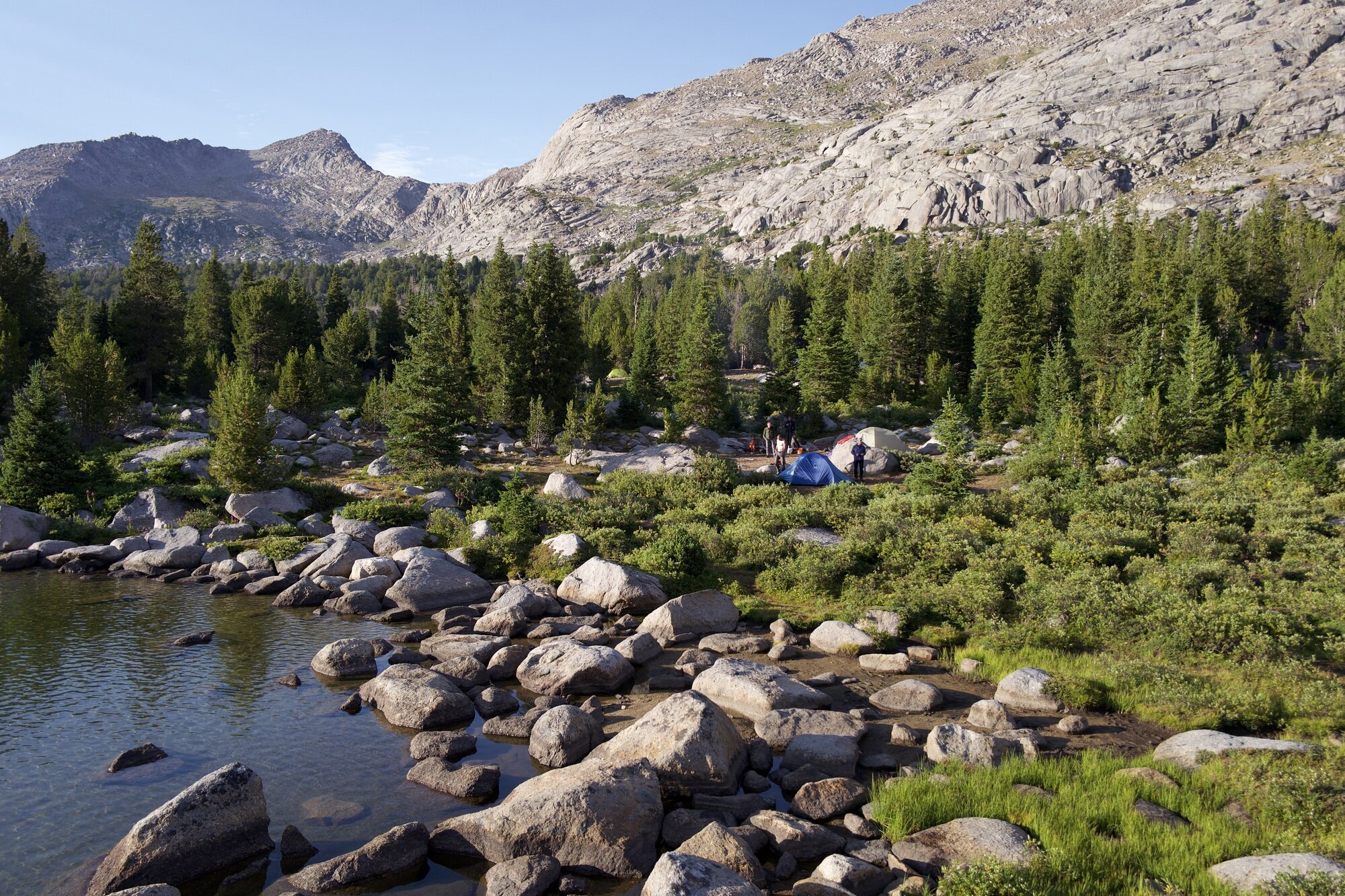
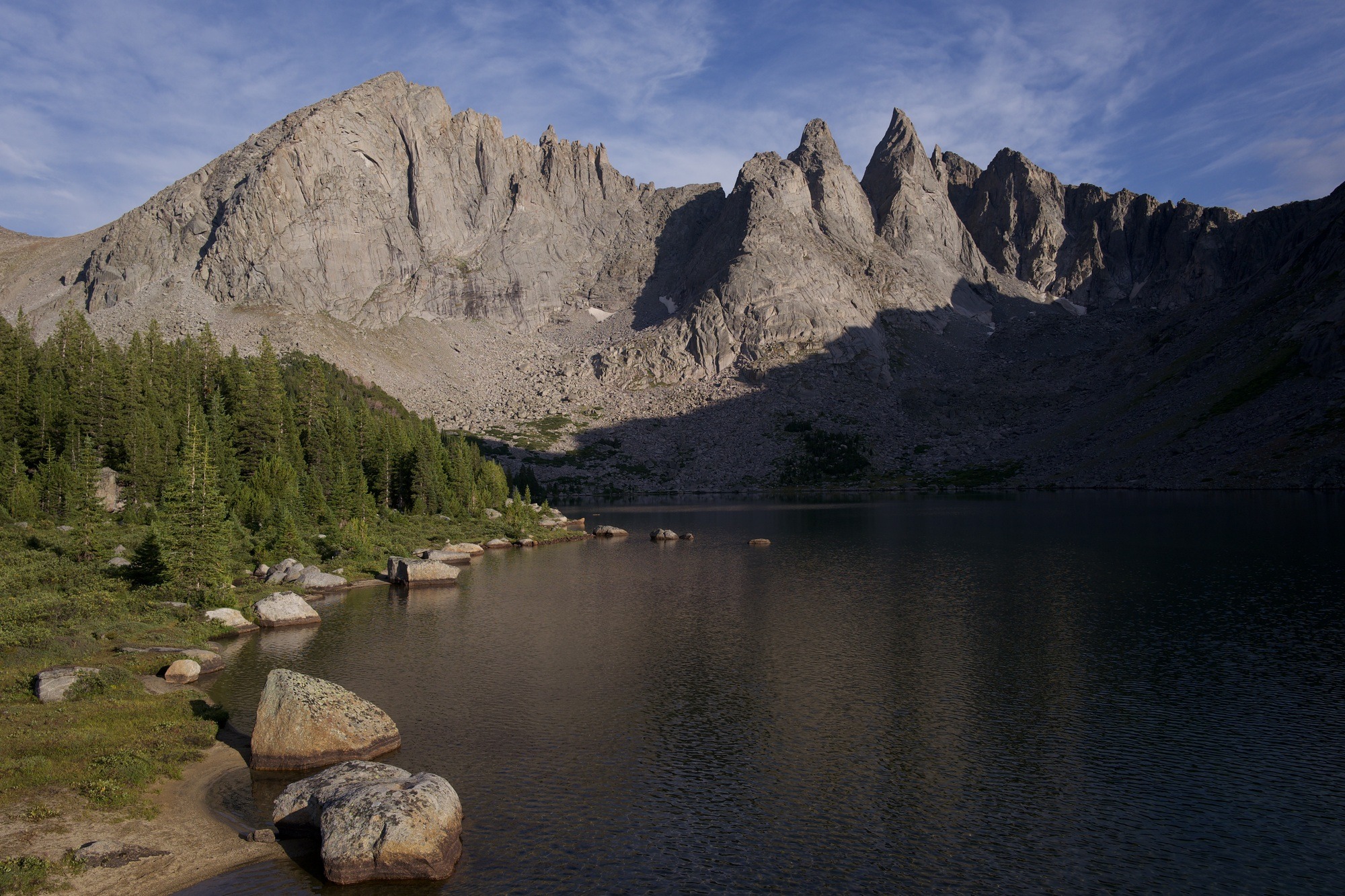
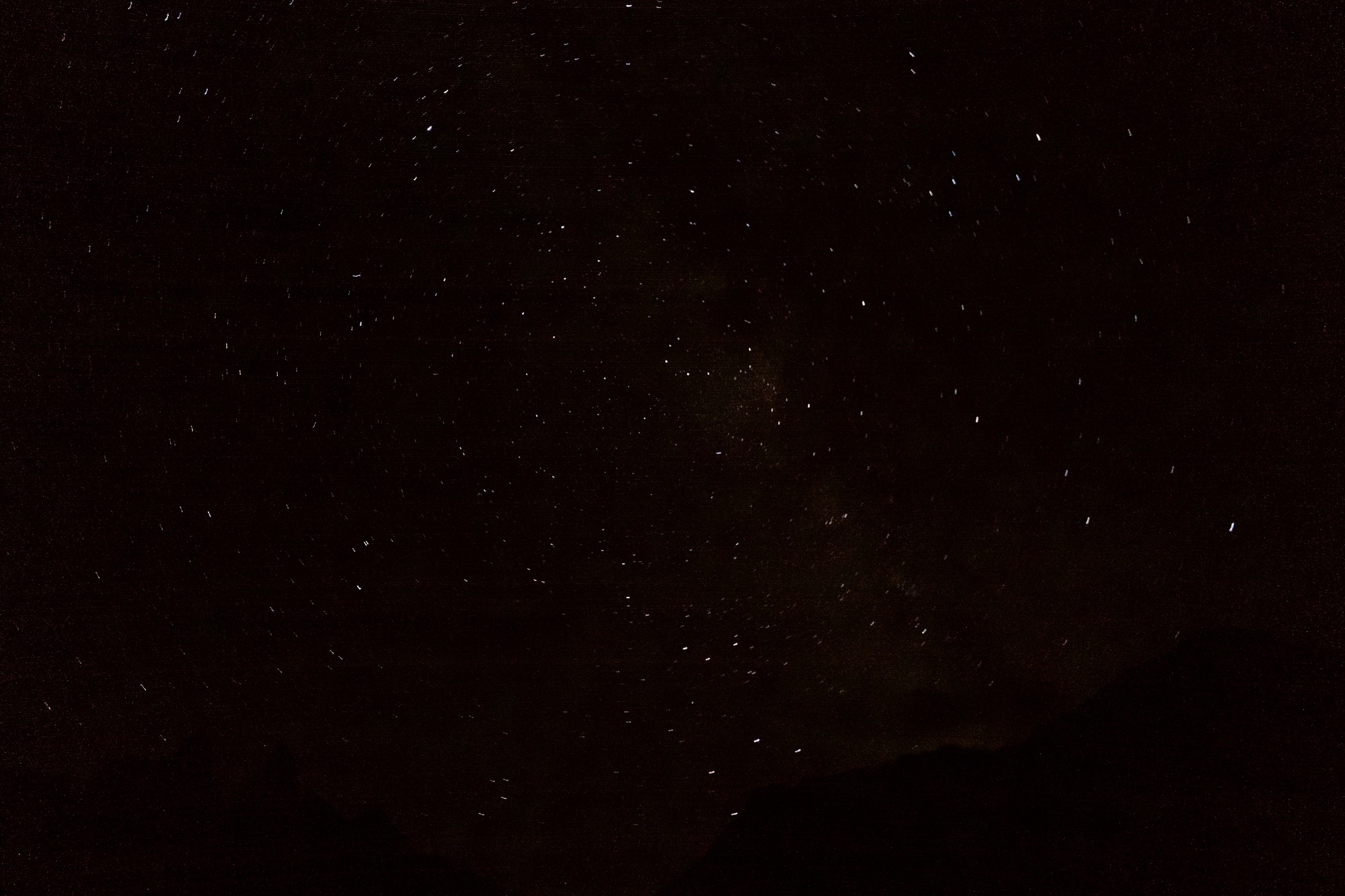
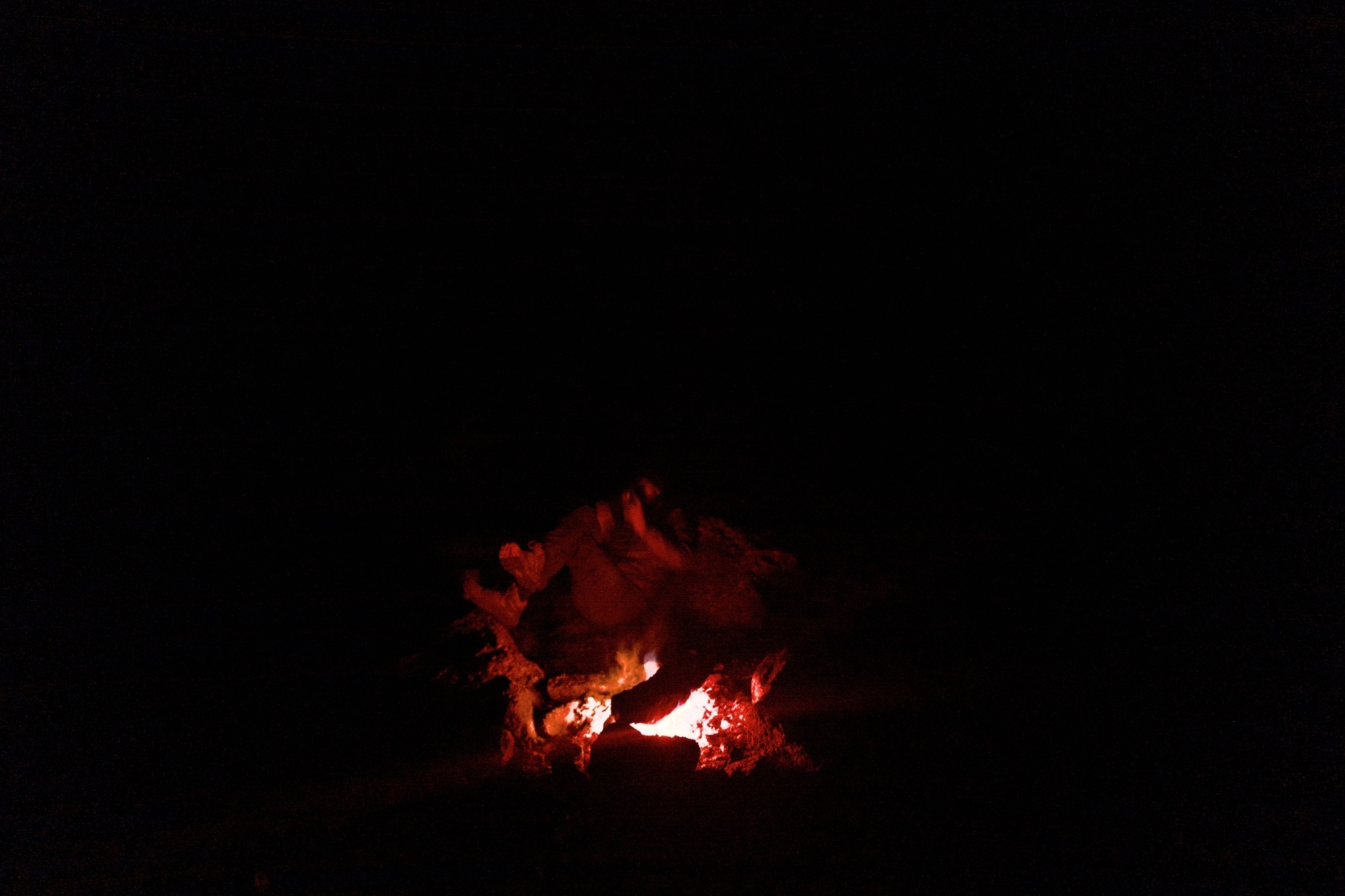
That night the fire is warm and wonderful and Mike and I stay up to stare at the bright Milky Way thrown across the sky between the mountains. Behind the peaks on either side, we see flashes and slowly realize they are lightning. Soon we can hear the thunder rumbling and we crawl into the tents.
Texas Pass
Overnight we hear the rain hit the tent. Then hail hits the tent. And then snow falls for a couple hours through the lightning and thunder. Anything can happen at elevation!
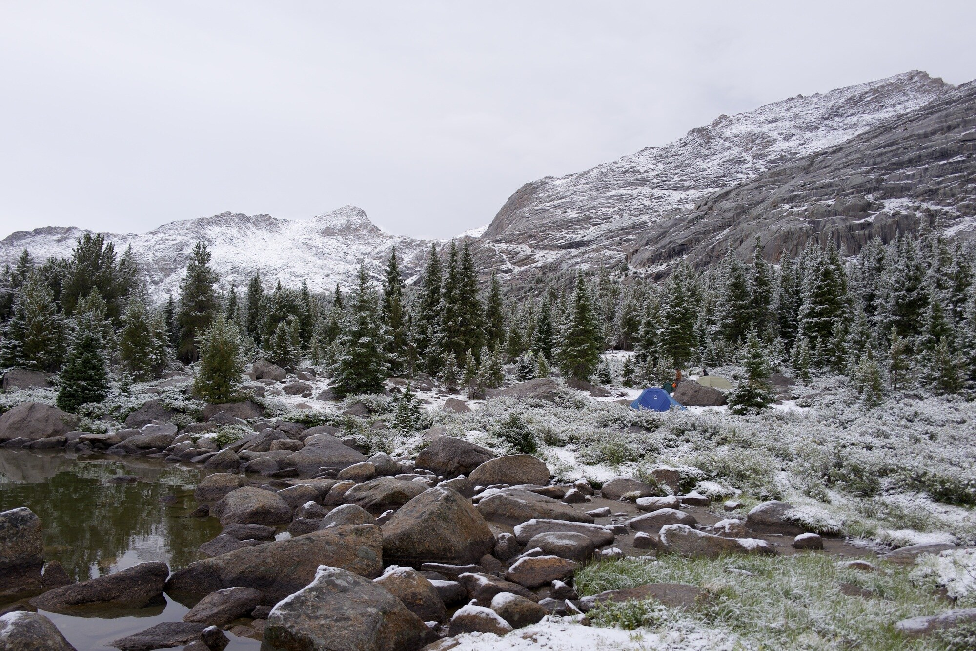
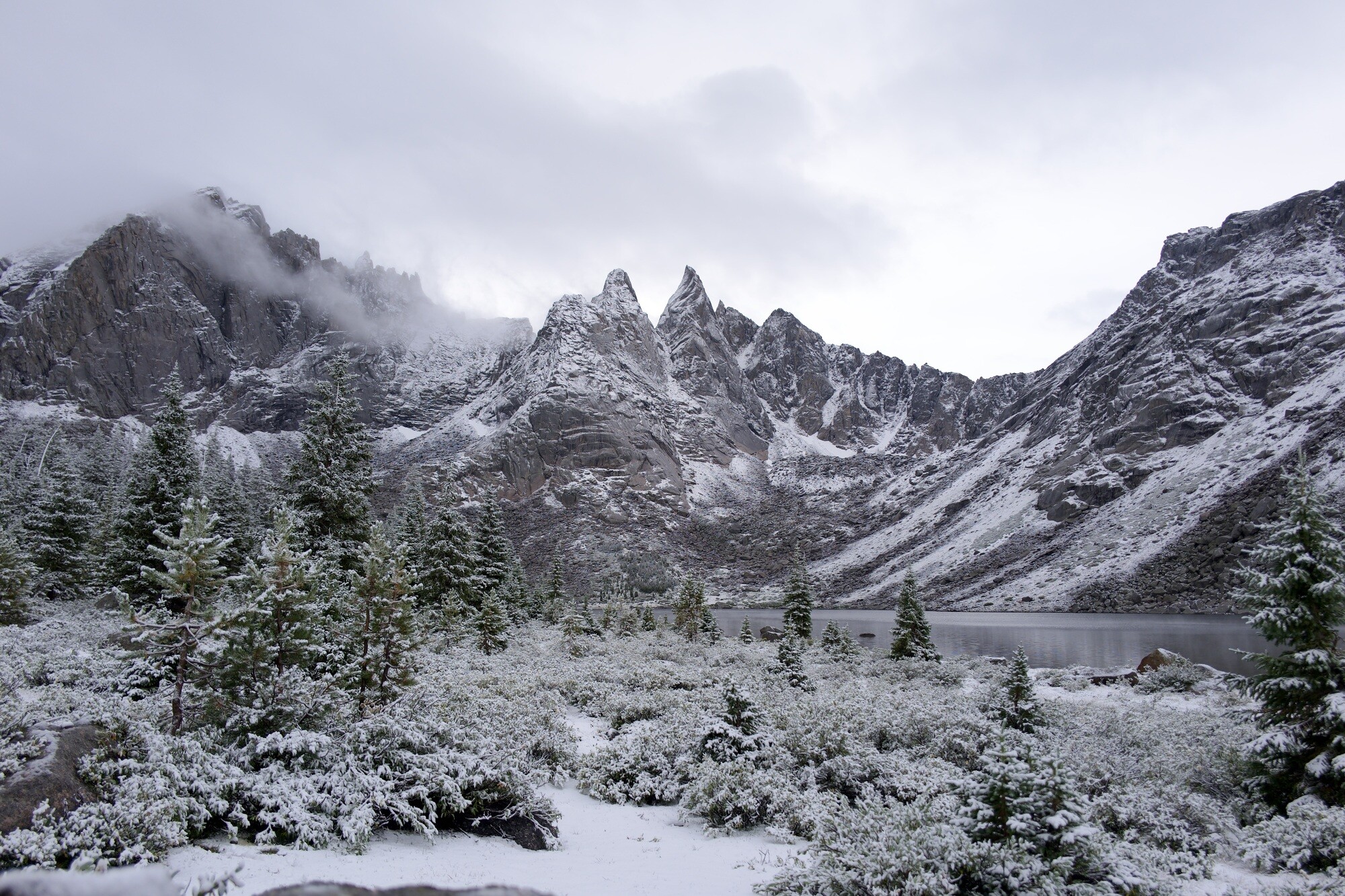
We’re questioning our ability to make the next pass with this snow, but soon we’re seeing the sun peak out and the melting convinces us to trek on.
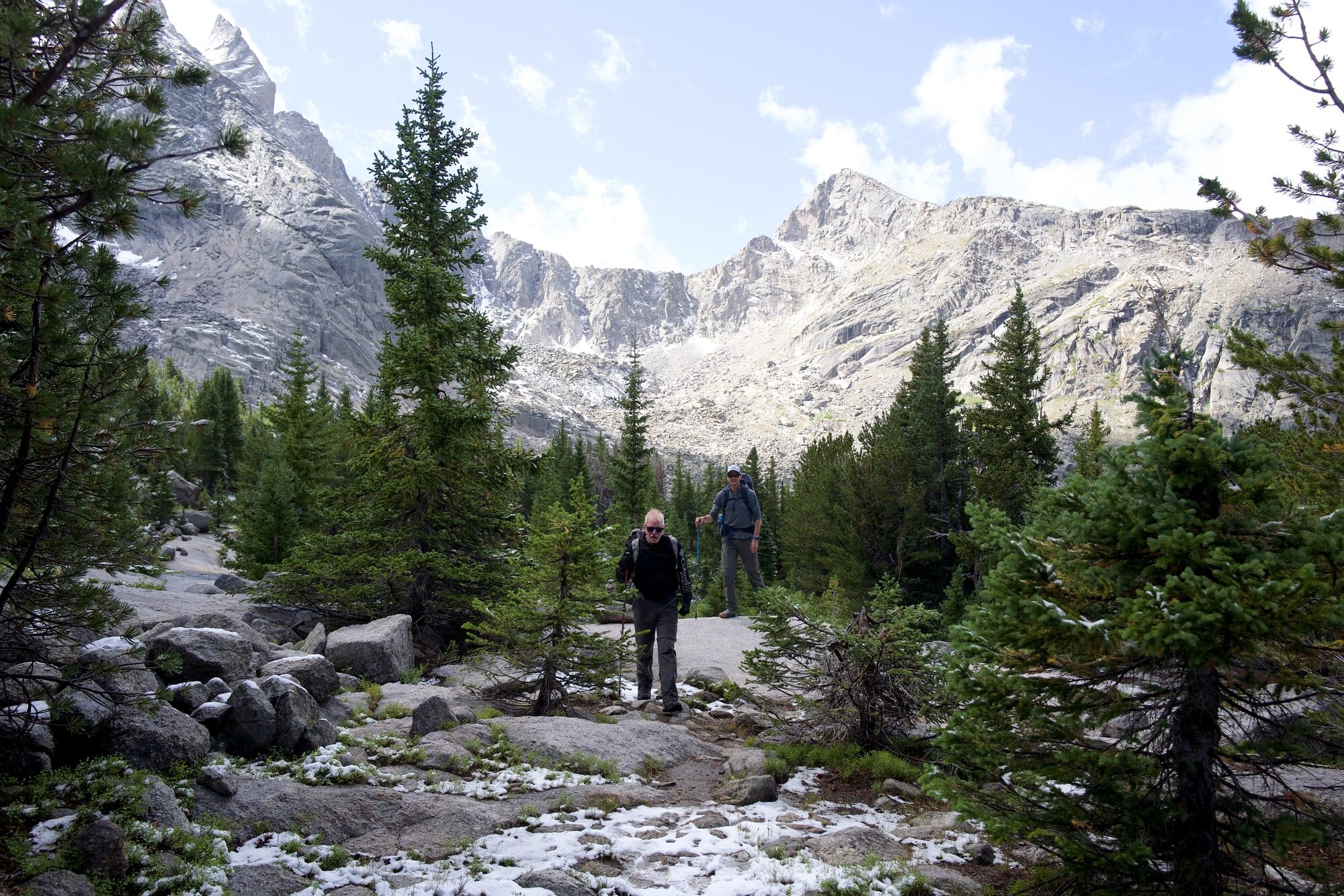
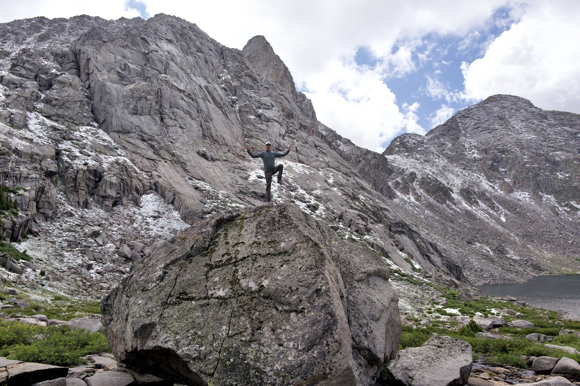
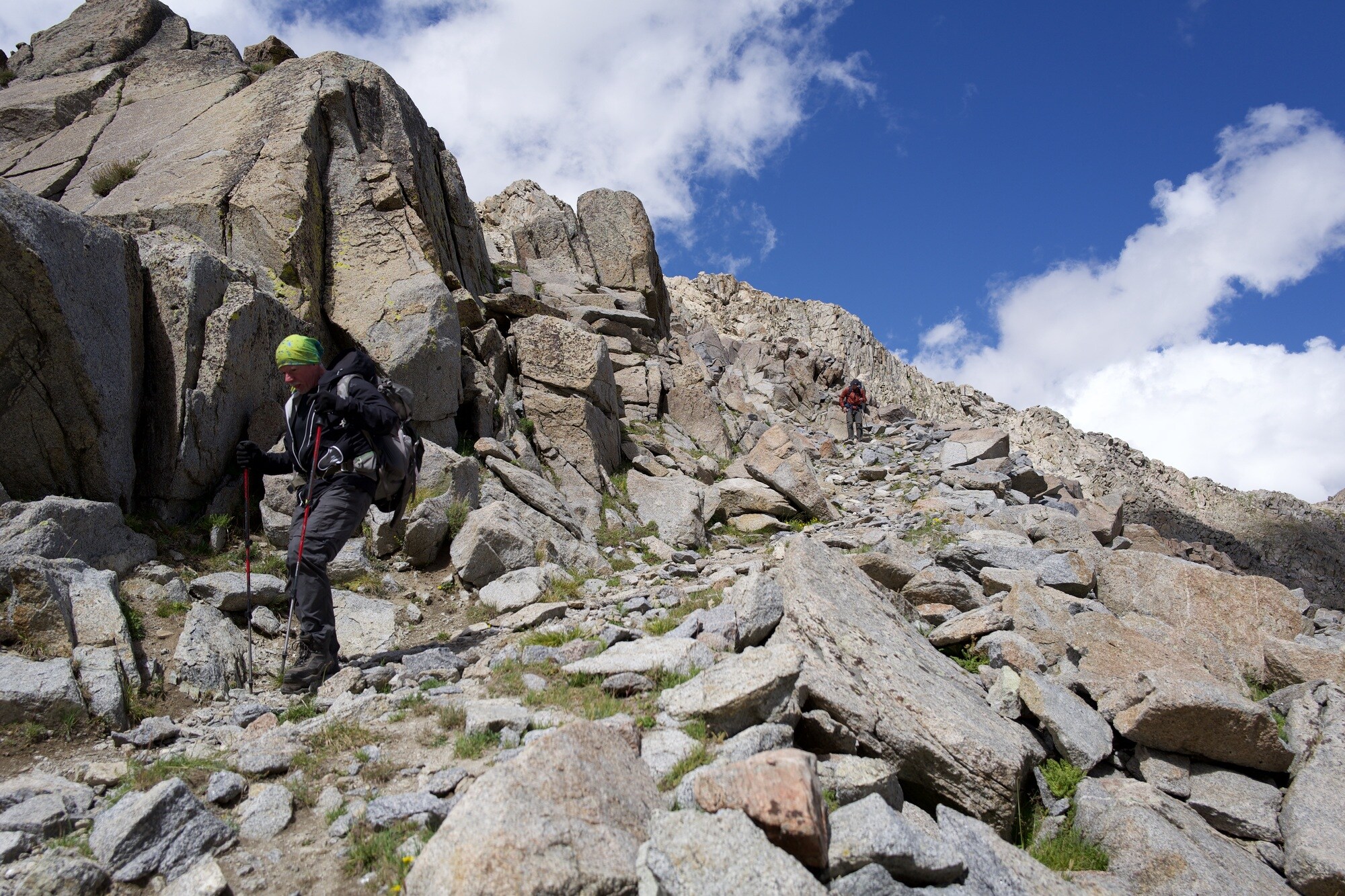
As we approach the bottom of Texas Pass, our steepest climb yet - upward 1,400ft to 11,500ft - the clouds return. It’s cold. The snow starts at about the halfway point: big, near-hail-sized flakes that look and taste more like Dippin’ Dots than snowflakes. We’re entirely focused on the climb as we lose the trail a couple times and we’re all saying prayers and thanks at the summit.
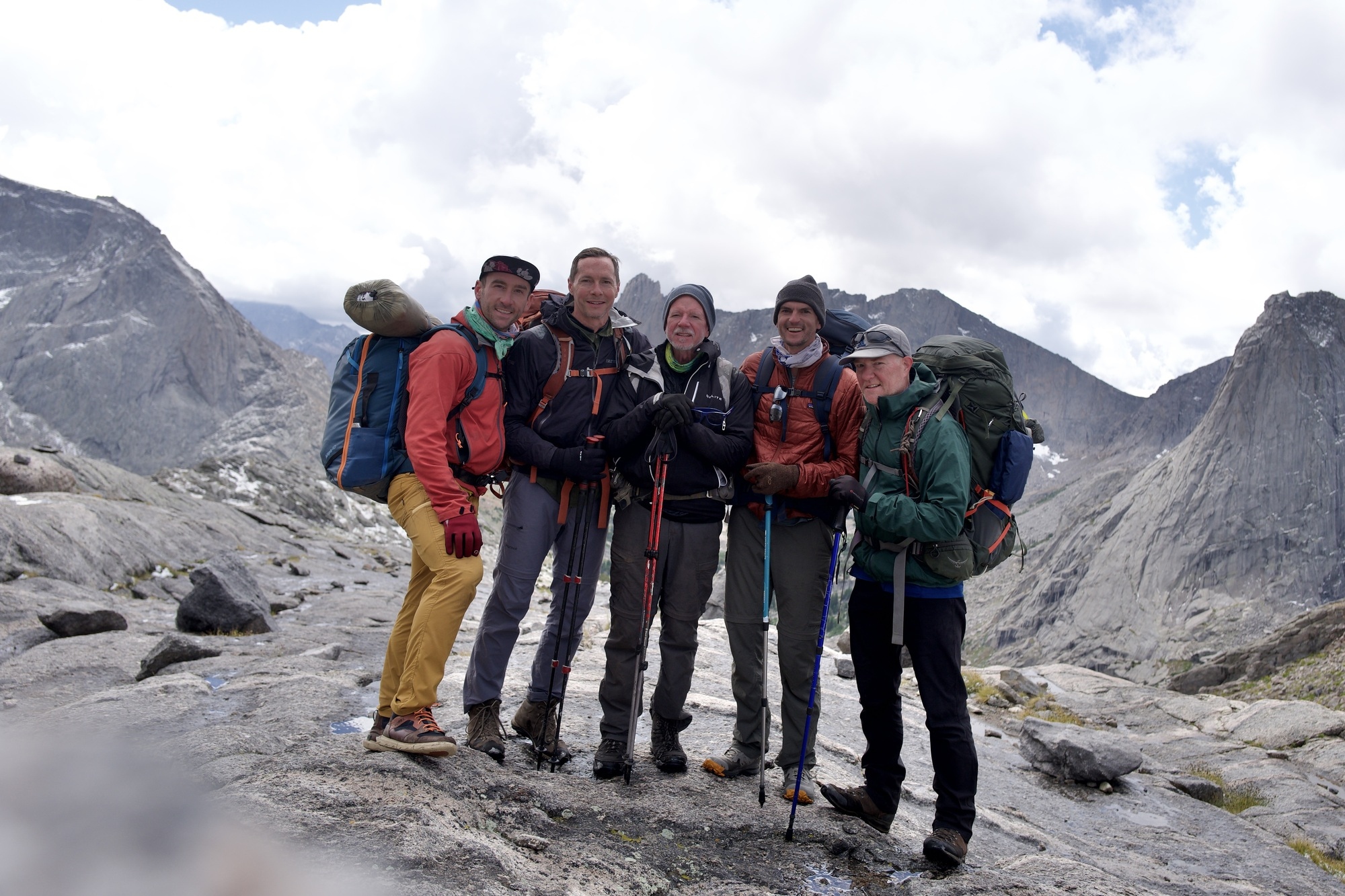
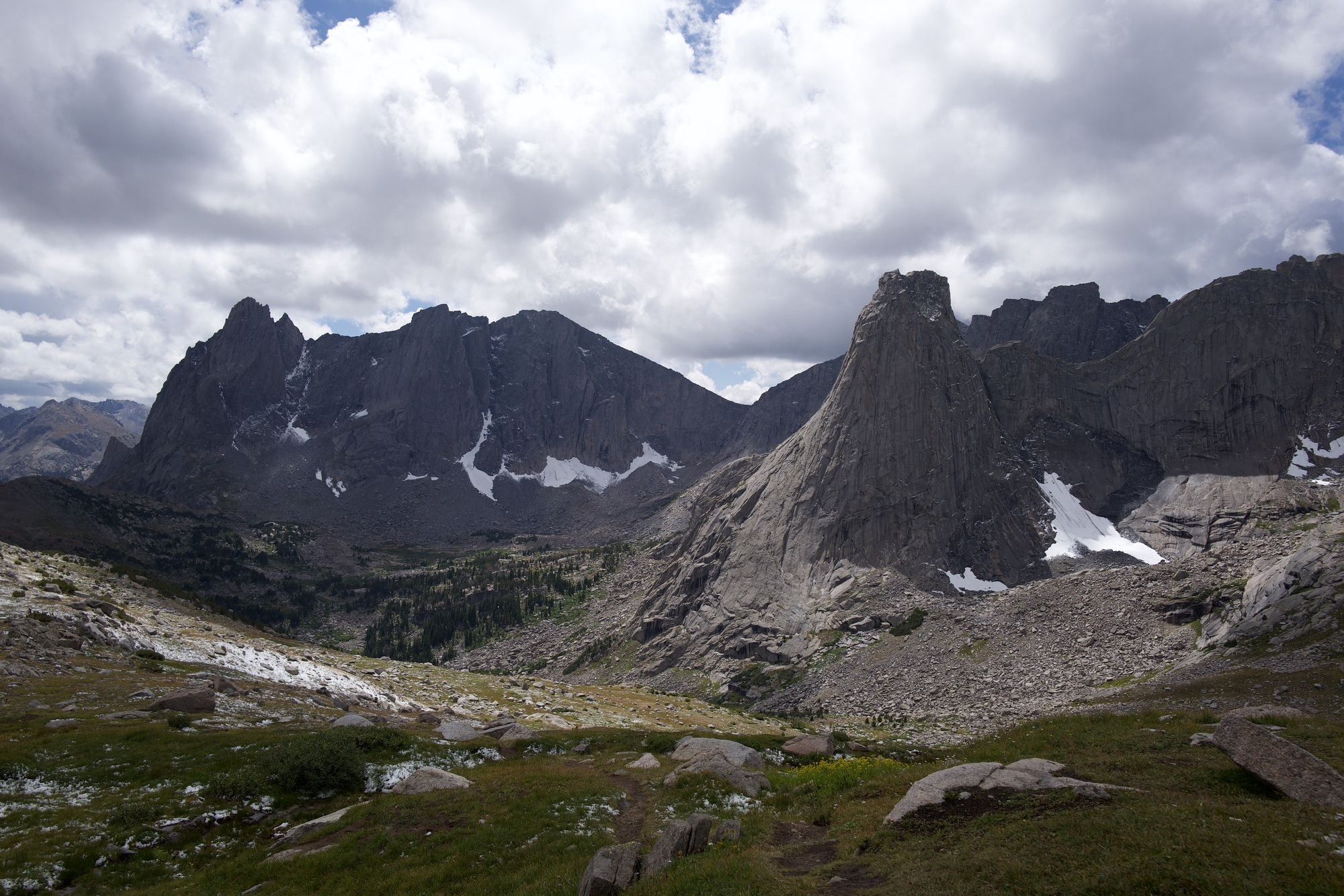
And, damn, the summit is beautiful staring down into the Cirque.
Lunch. Then we finish the descent into the Cirque and scramble the boulders to find our final campsite beside Towers Lake.
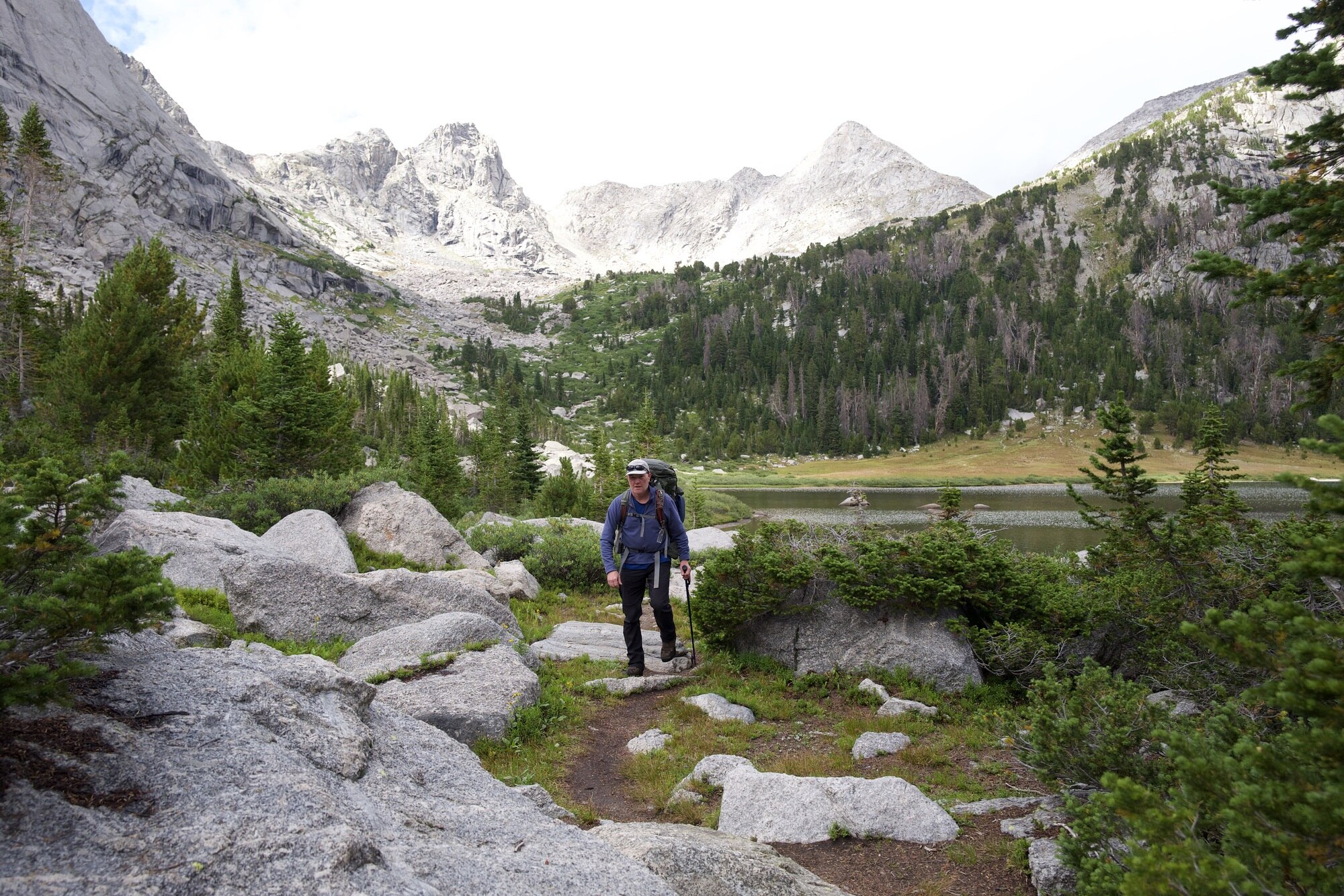
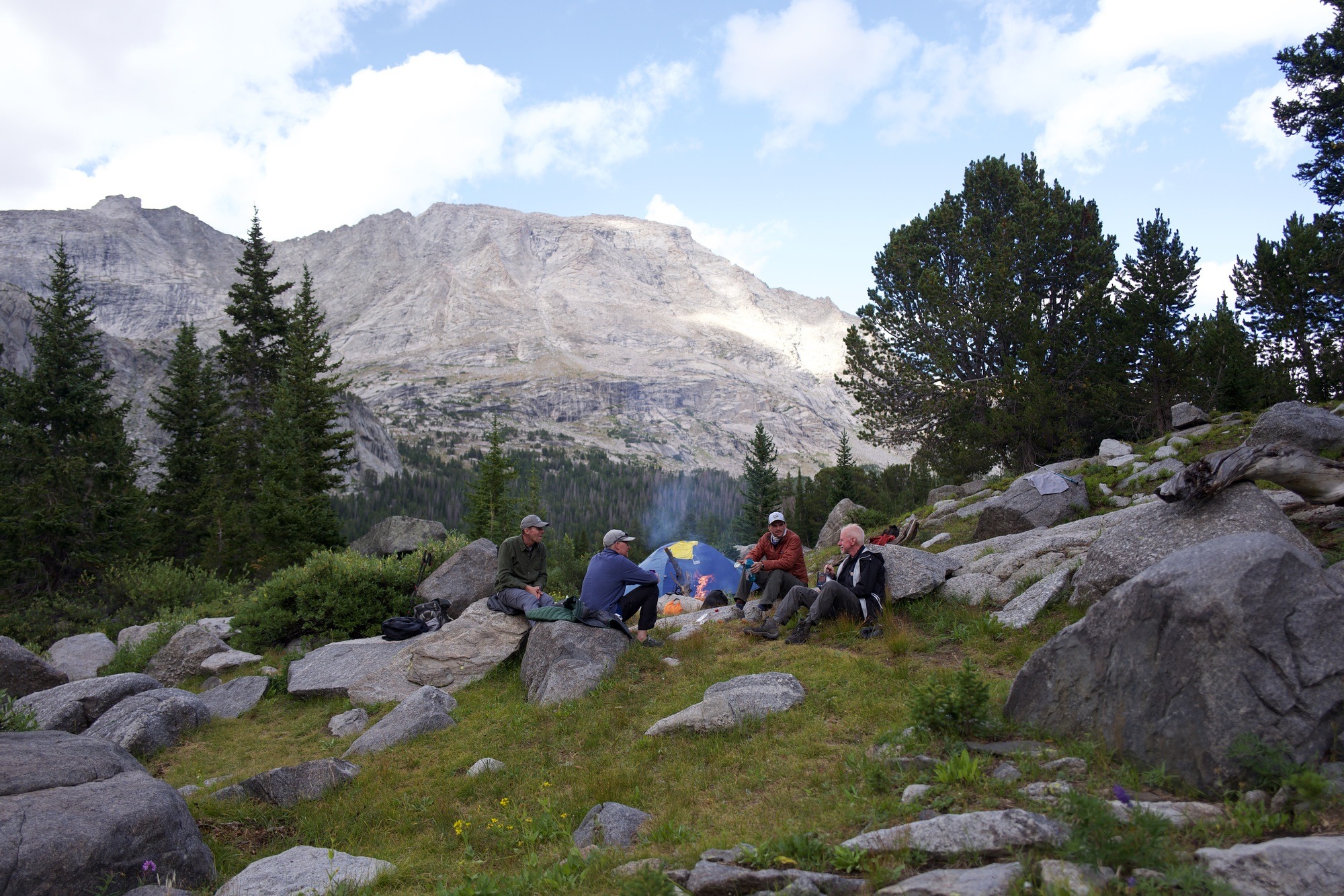
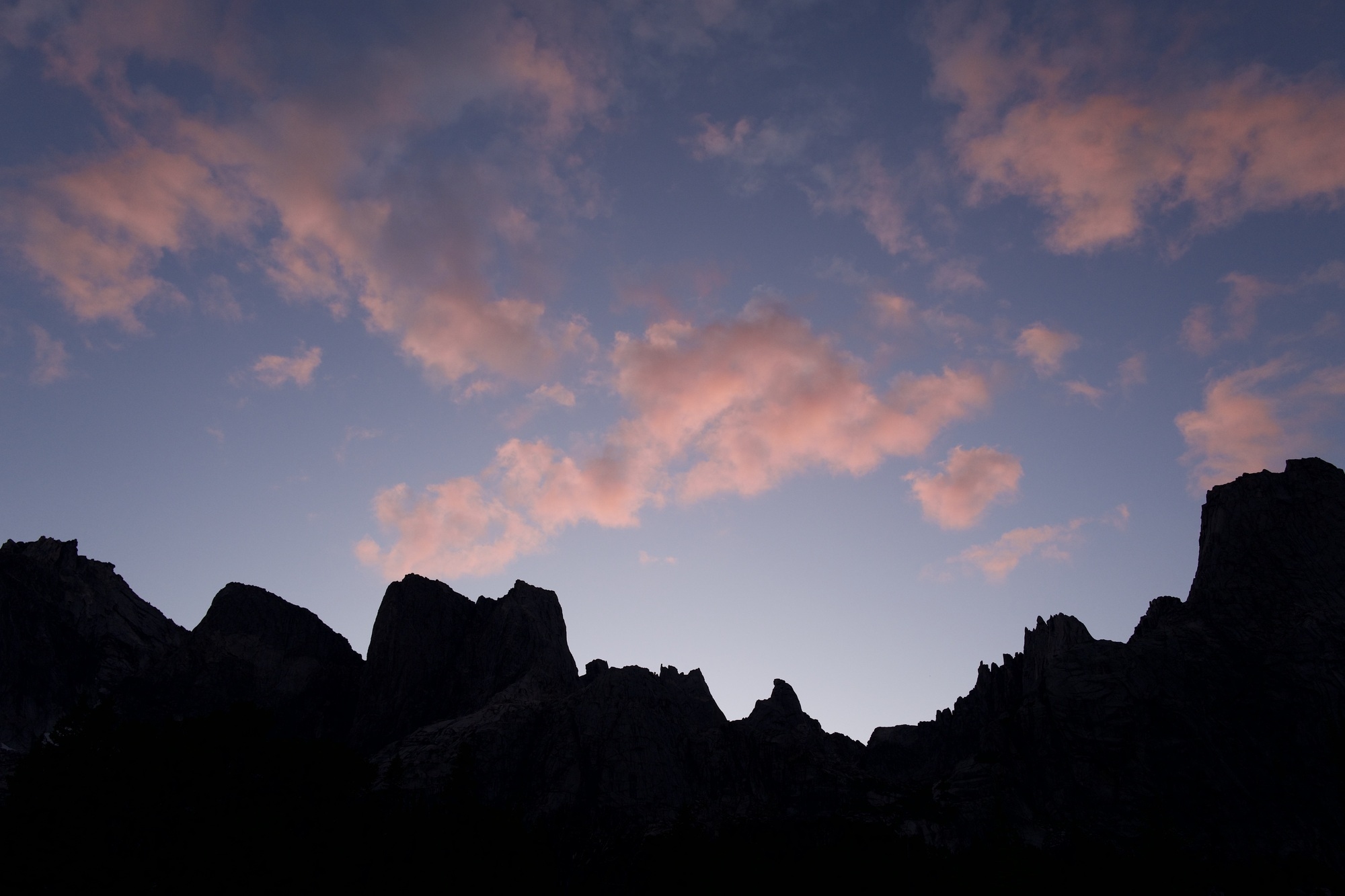
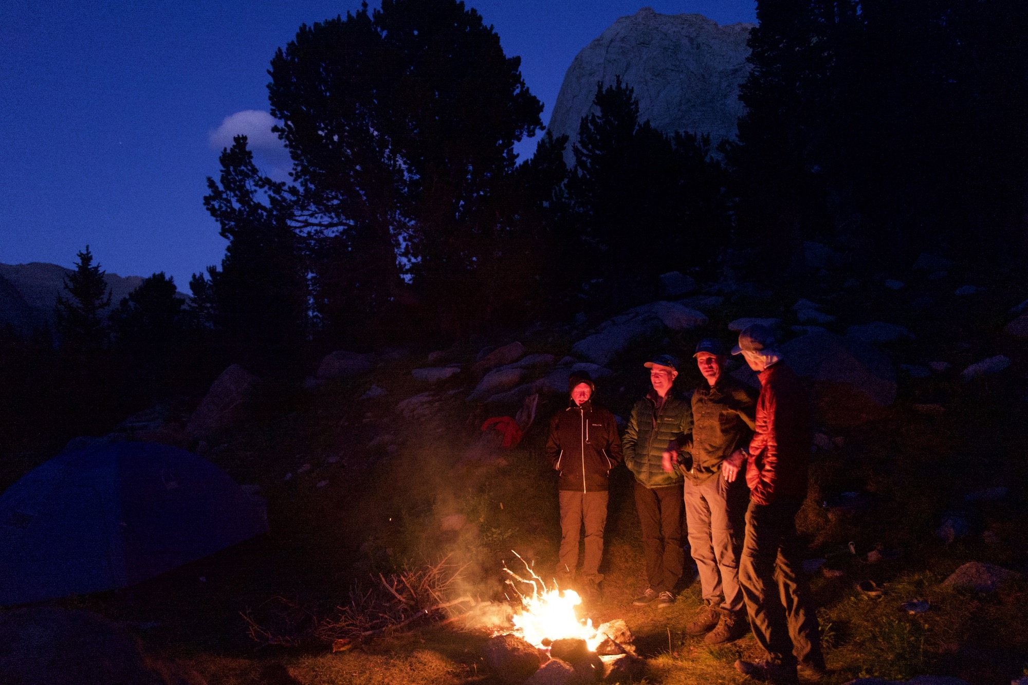
After our tough 5 miles, there’s nothing left that night but enjoying the amphitheater of mountain peaks and the fire and the company we have.
Arrowhead Pass
One final morning pack-up - the clearest, coldest morning yet. Our bodies and packs are their lightest.
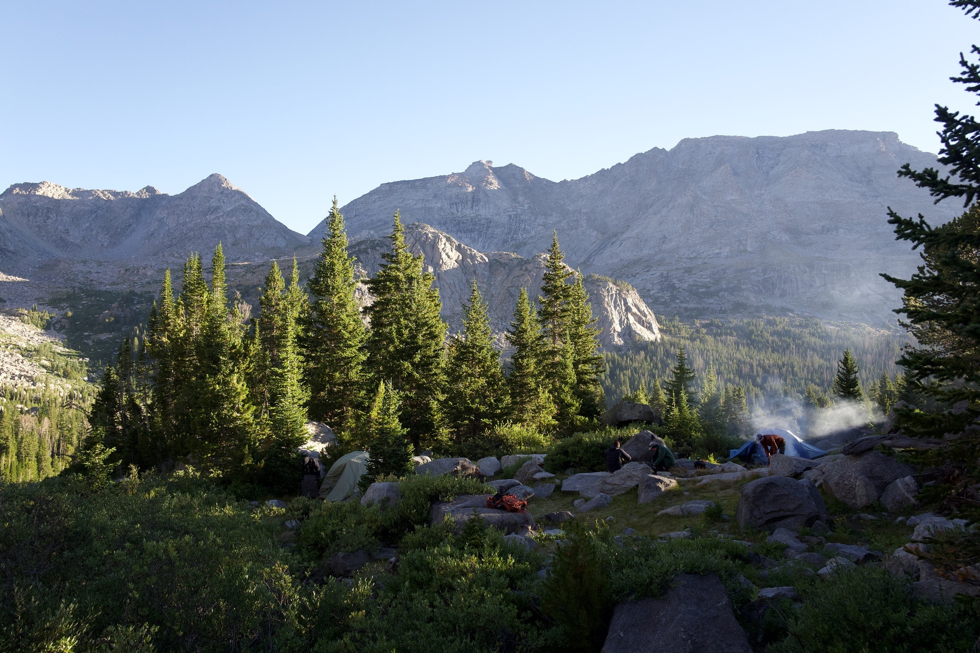
We could do the easier way out - Jackass Pass - but let’s do something a bit more interesting, eh? Arrowhead Pass leads to the same place and we’re closer, so we take a right - clockwise for one more cross of the Continental Divide.
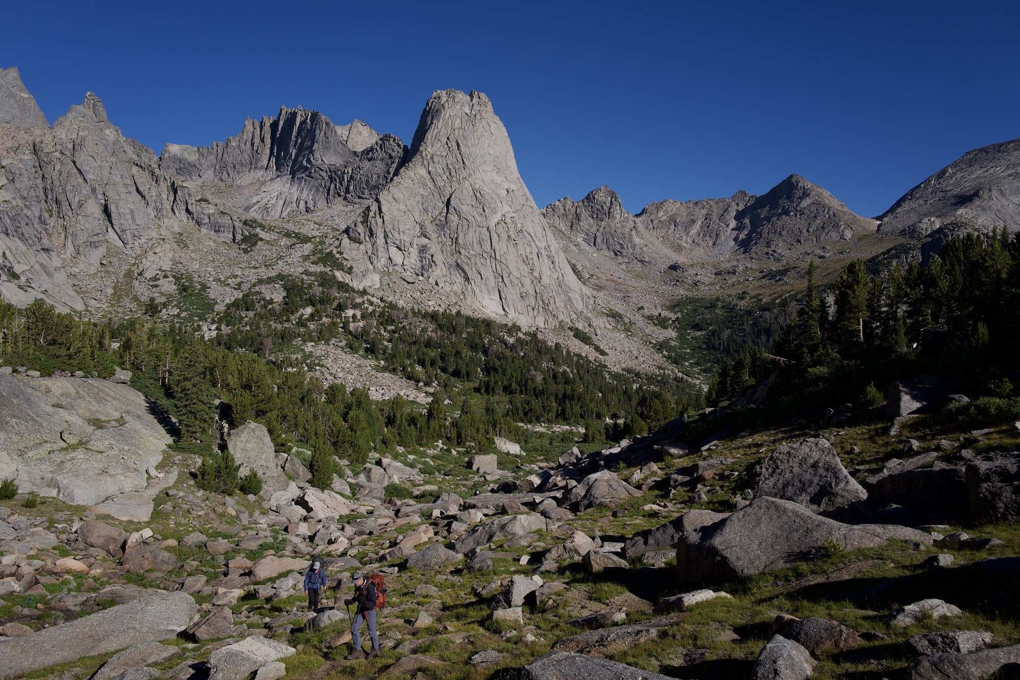
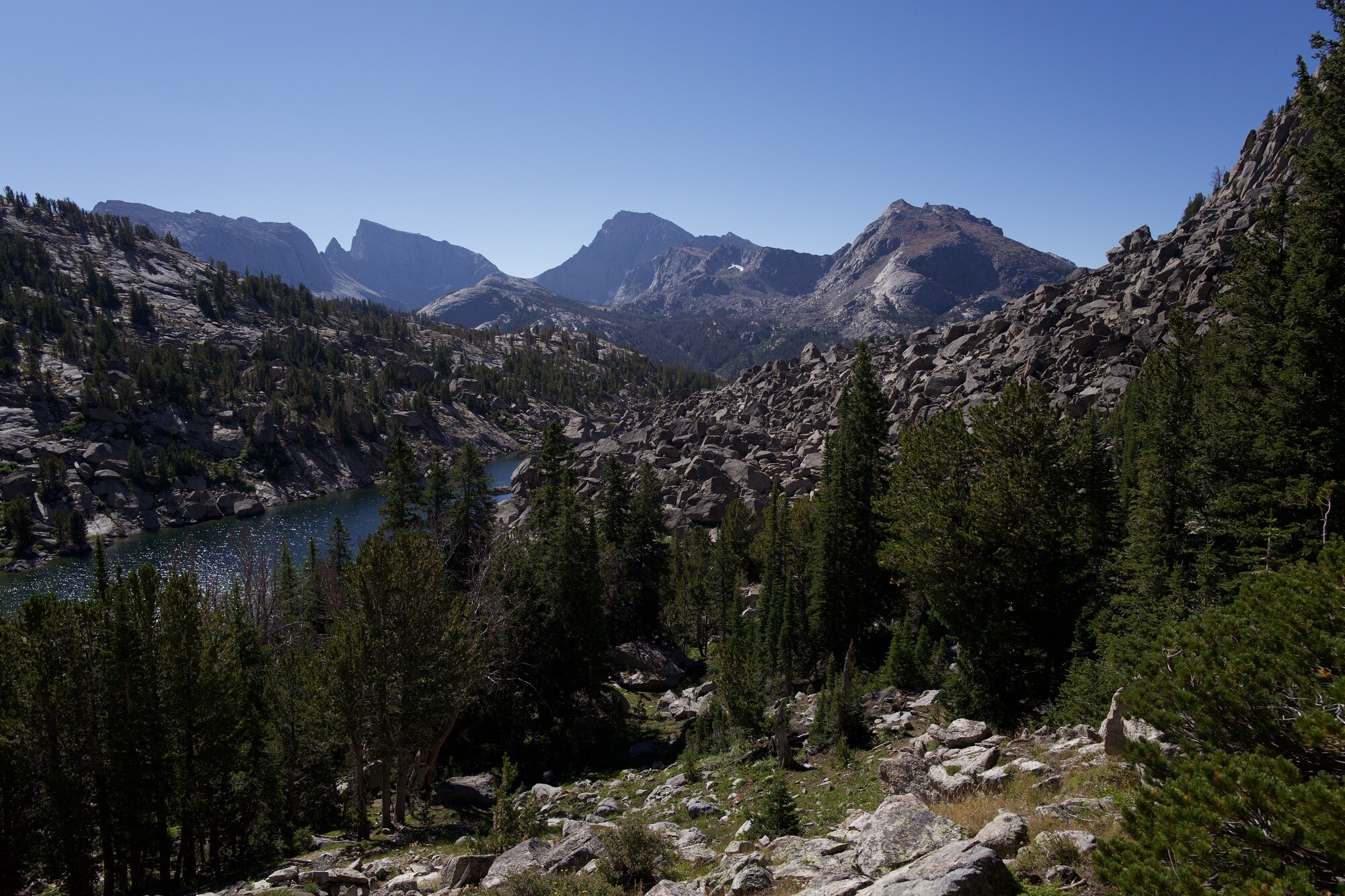
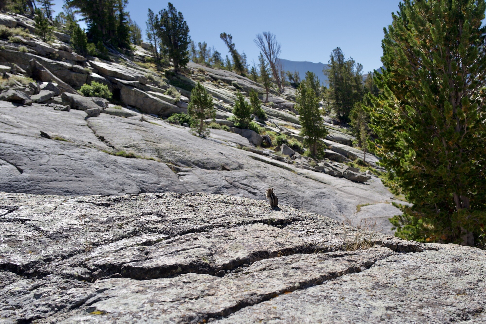
We have to scramble over deep boulder fields and jump echoing crevasses to get around the lake, but everything is lighter now and we’re adept in these fields. Even if the chipmunks and pikas taunt us.
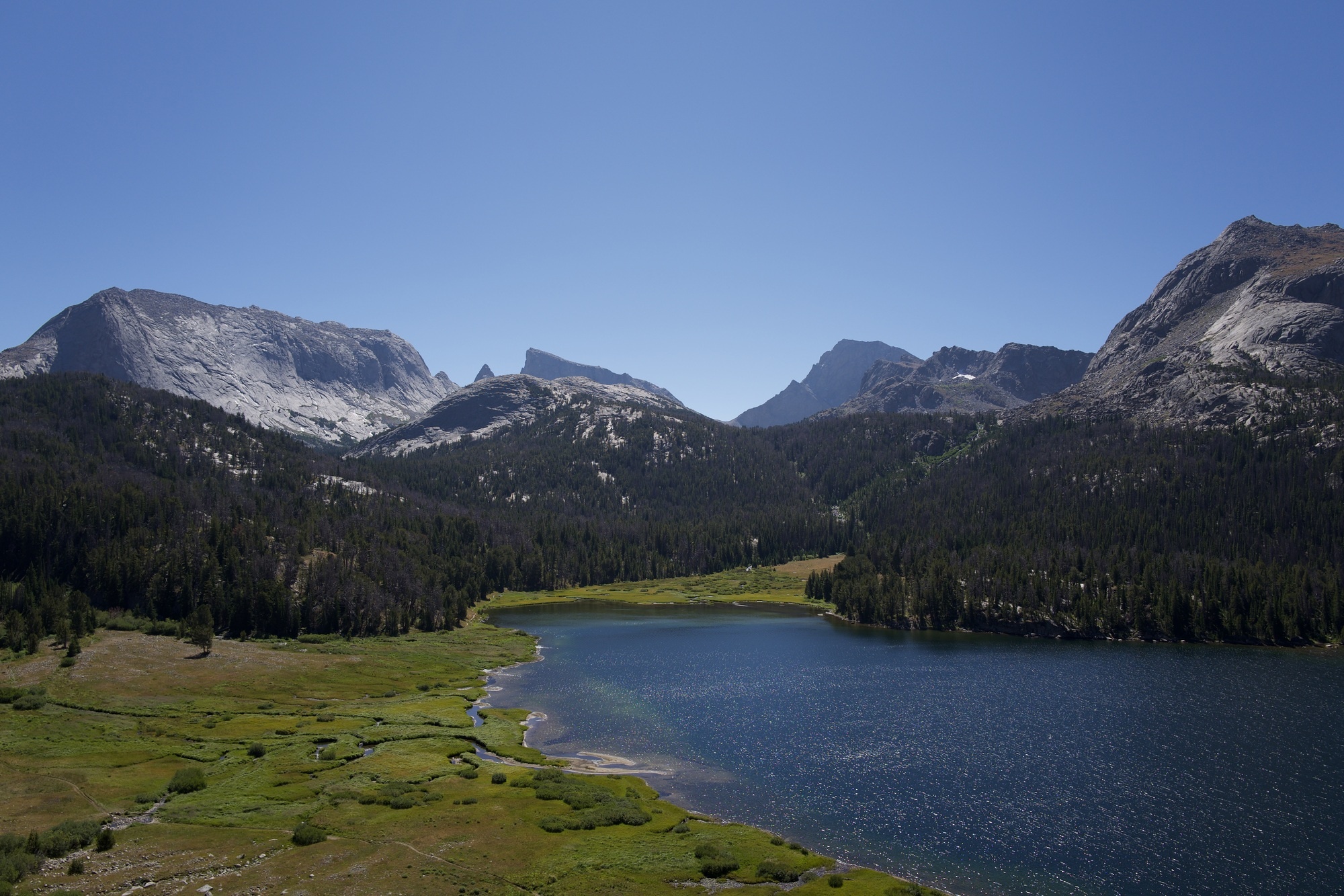
One final lunch of leftover scraps along Big Sandy Lake and we’re then walking the final 9 miles back to where we hope the truck is still parked.
Pinedale
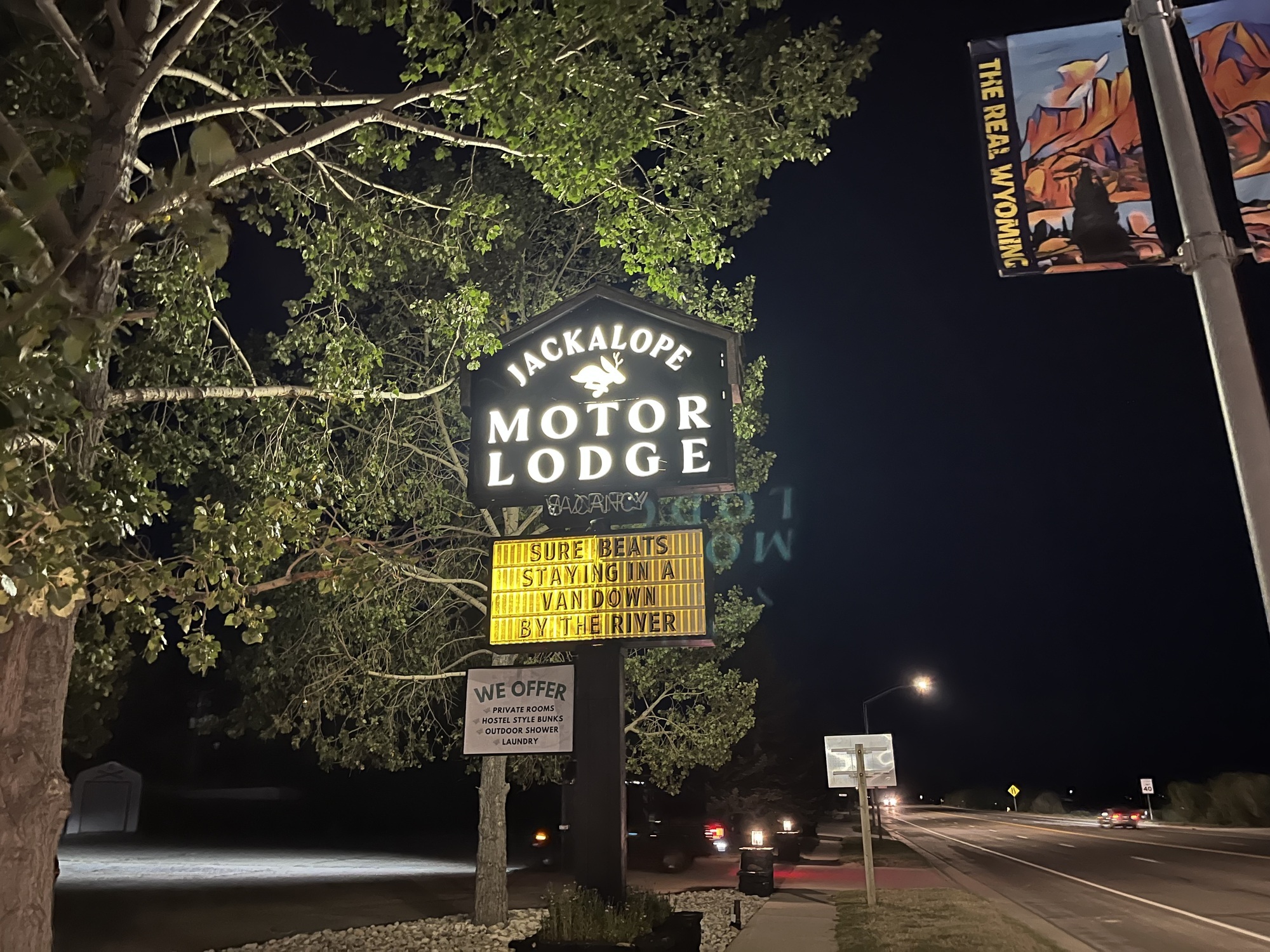
The truck was there. We drove it back down to Pinedale and spent the evening eating and drinking at Wind River Brewing and then sleeping soundly at Jackelope Motor Lodge (both highly recommended).
Maps & Data
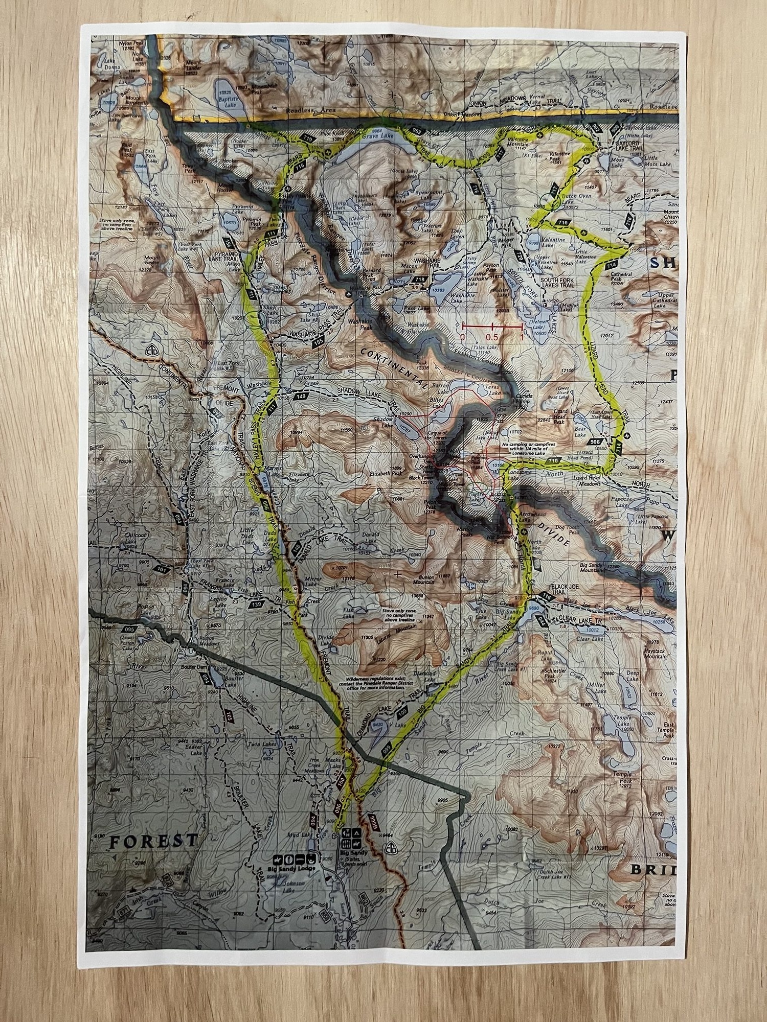
The path we took is different than what was planned/highlighted on the map through the Wind River Range.
(Data from my Apple Watch)
Acclimation day:
- 6.3 miles
- 900ft elevation gain
Day 1:
- 10.5 miles
- 1800ft elevation gain
Day 2:
- 10 miles
- 2350ft elevation gain
Day 3:
- 9.7 miles
- 1954 elevation gain
- 11650ft highest elevation
Day 4:
- 5 miles
- 1400ft elevation gain
Day 5:
- 9 miles
- 739ft elevation gain
Reference
| ← Previous | Next → |
| Hiking 🥾 | Note on Excellent Advice for Living via Kevin Kelly |