Hiking the Grand Canyon Royal Arch Loop
As we left our last backpacking trailhead, we all agreed we should hike the Grand Canyon next. It’s beautiful, and not even that high of elevation (not like the mountain passes we had just finished). We would just have to plan for water, but we could do that.
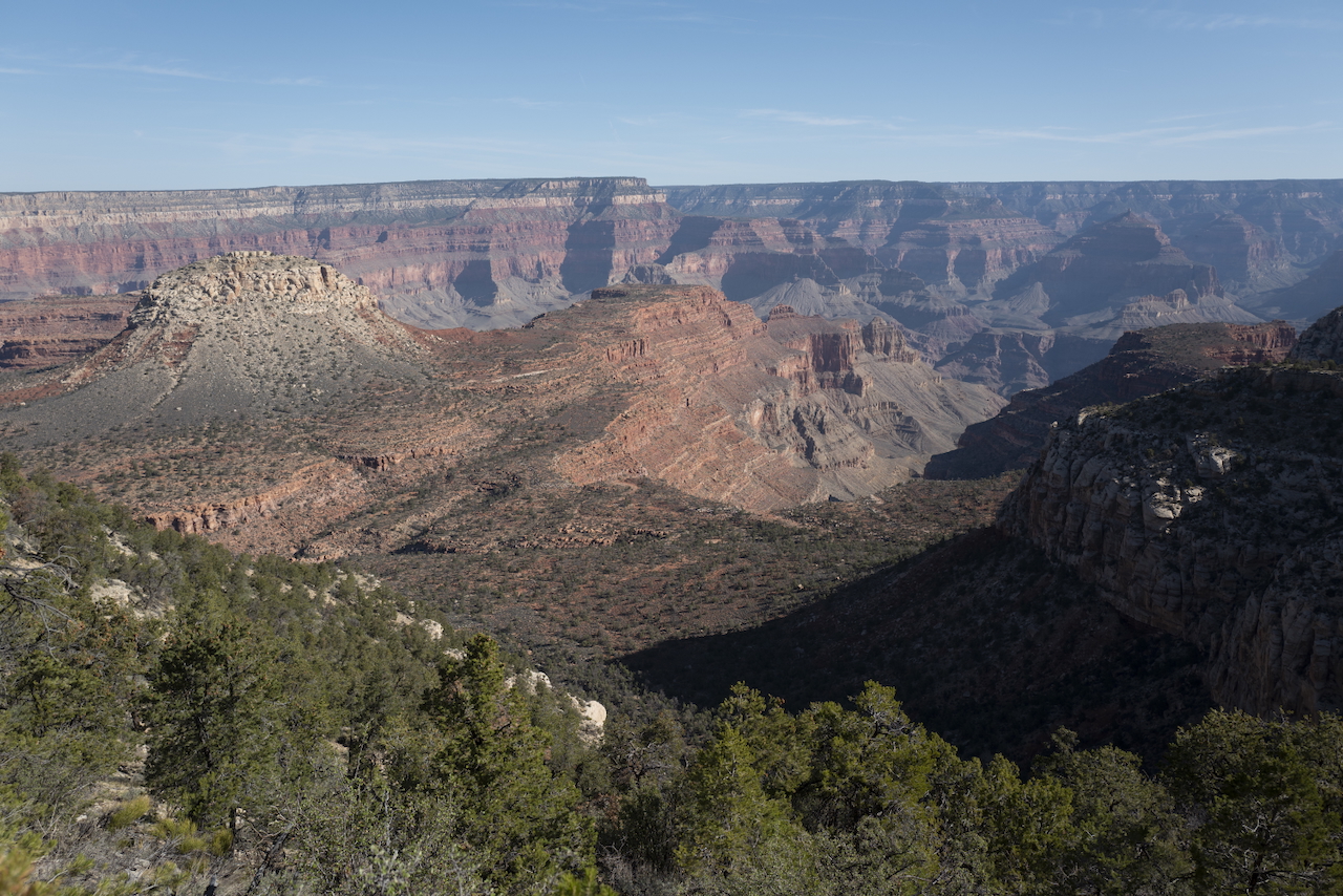
So we chose the Royal Arch Loop: US National Park Service guide, AllTrails overview. None of us had done the hike before, but two had hiked the Escalante trail nearby and one had done a river rafting trip down the Colorado River the year before. I had never been inside Grand Canyon National Park, so I was excited.
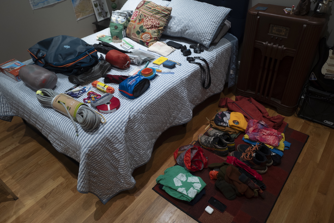
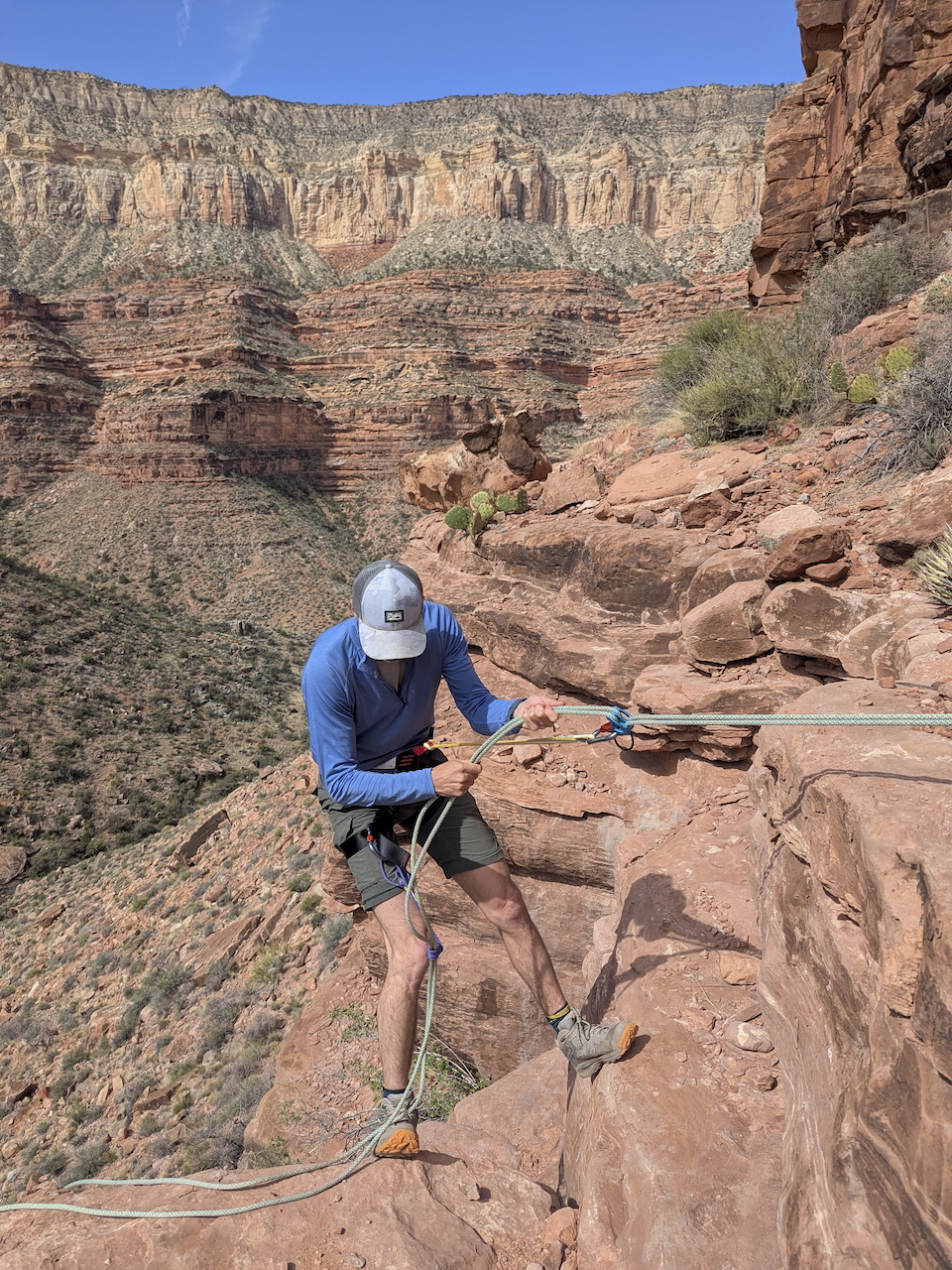
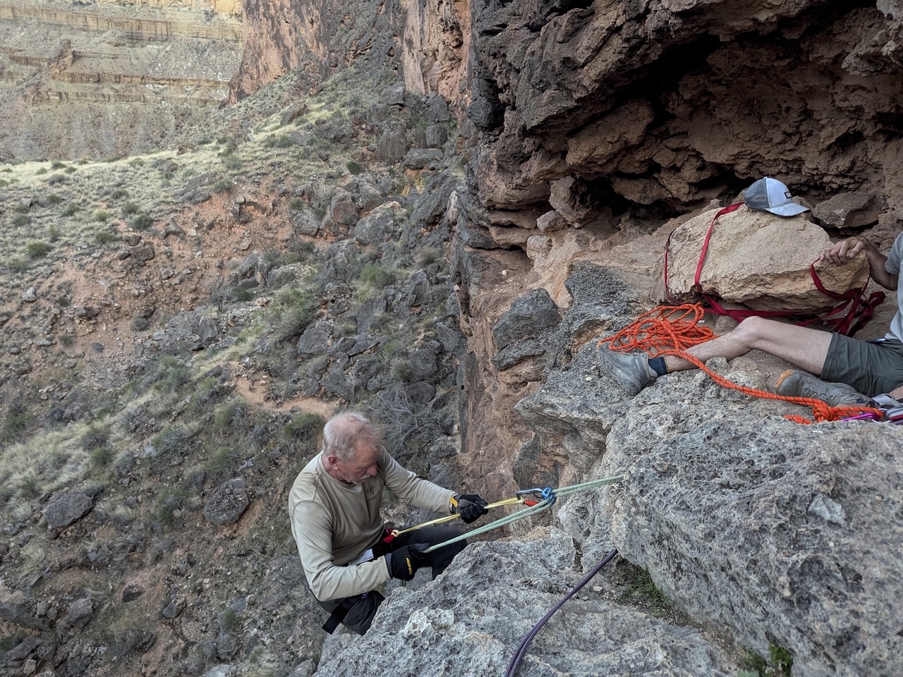
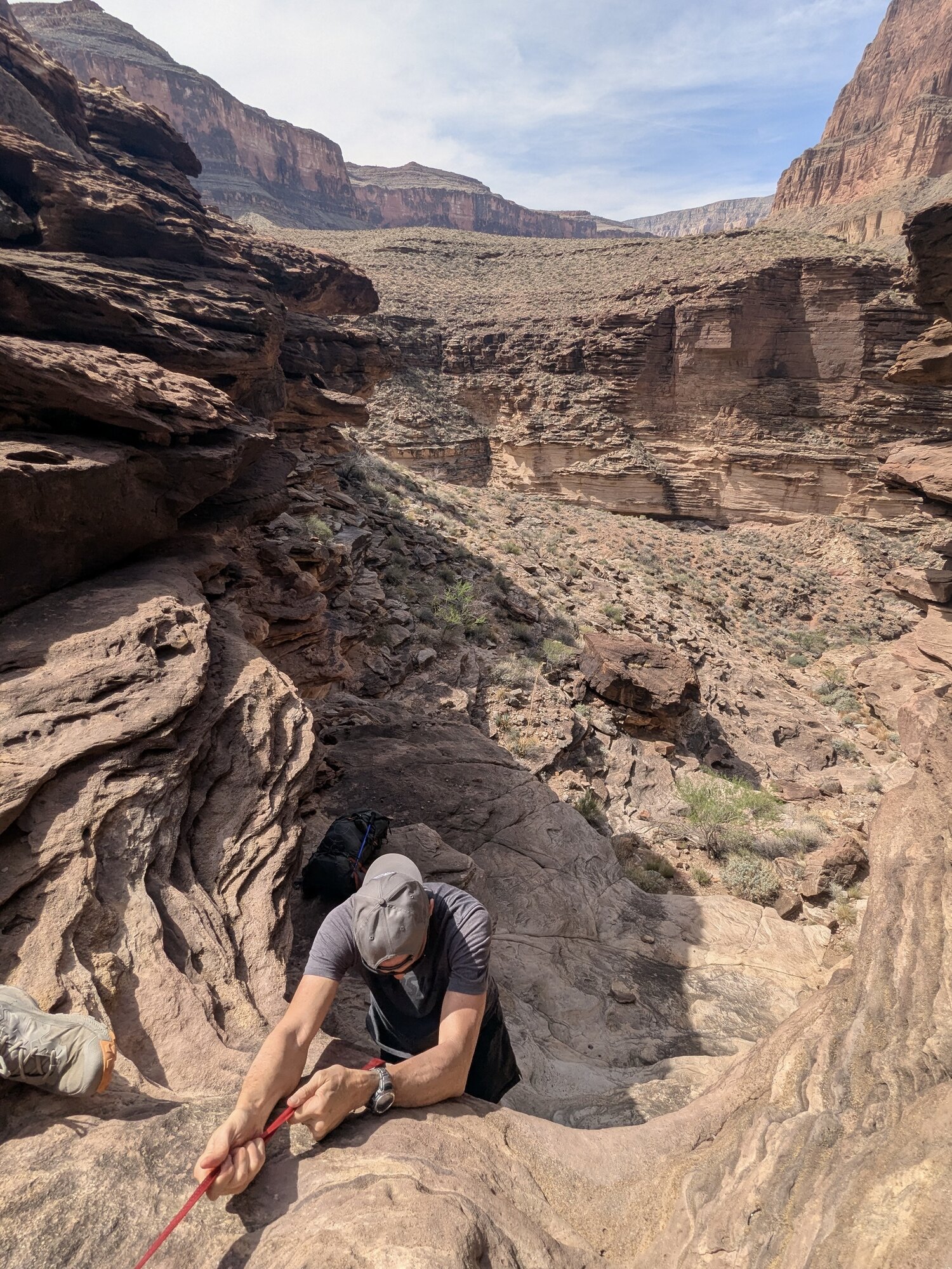
As we planned the dates and read guides and replenished supplies and laid out new gear, I got a bit nervous. All of the guidance warned about the rappel: a point in the trail that required a ~20ft downclimb on the canyon wall, necessary to reach the river below. I was in charge of the rope and Mike was in charge of the harness, as we were the only two of our group that had climbed before. We discussed and debated and I went back to the store a couple times to get more rope. And, as usual, I packed too much.
We loaded up and flew West, landing in Phoenix on April 9th. We drove up to Tusayan - population 580 - and stayed at the Red Feather Lodge. Dinner at Plaza Bonita was the best Mexican food I’ve ever had.
At dawn, we piled into the 4x4 rental and started down the 30 miles of dirt track road to get to the trailhead. Soon, we discovered that the last third or so of that is barely a dirt track. There are trees and rocks and dropoffs so rough that we had to get out and build passages for the truck. Watching Mike navigate them was like living through a Jeep commercial in slow motion. But eventually we reached the South rim of the canyon.
Day 1
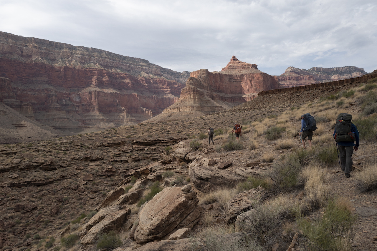
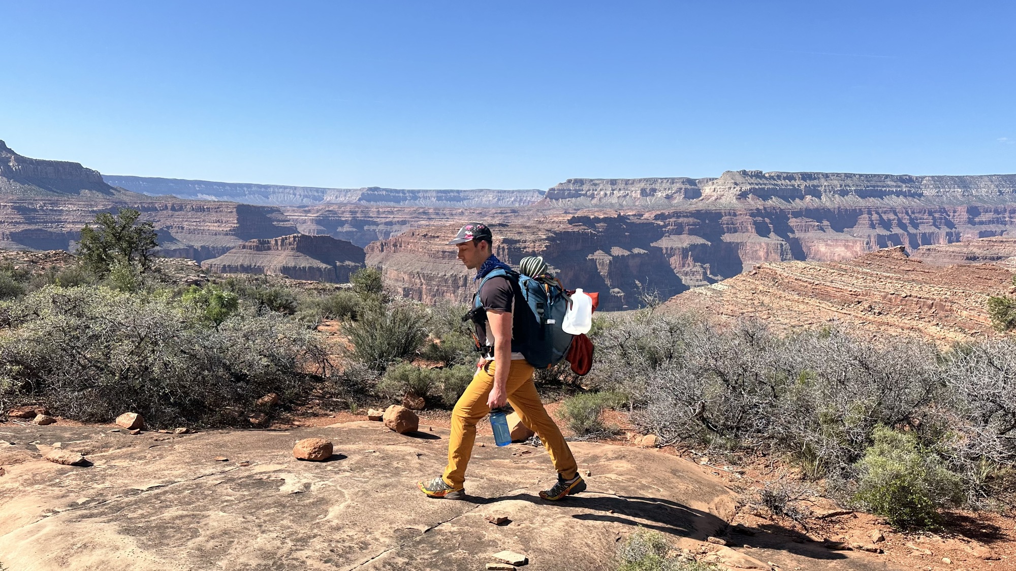
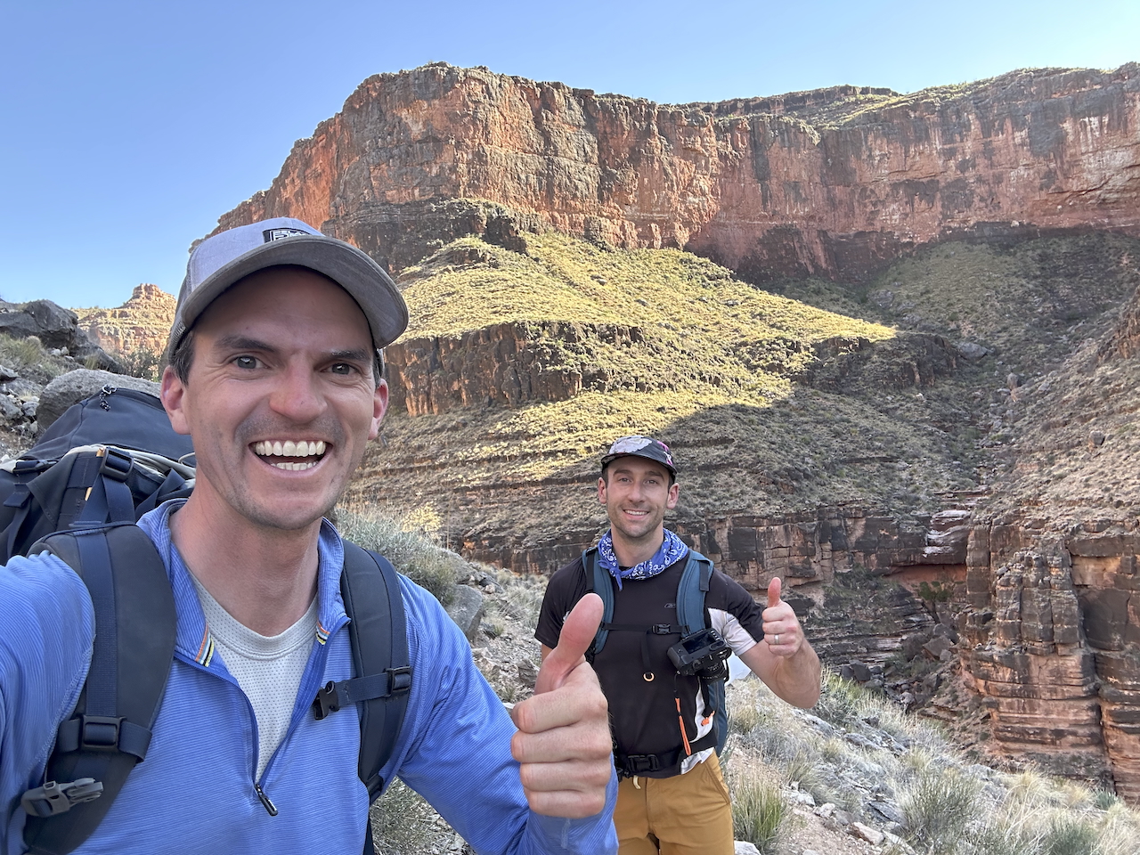
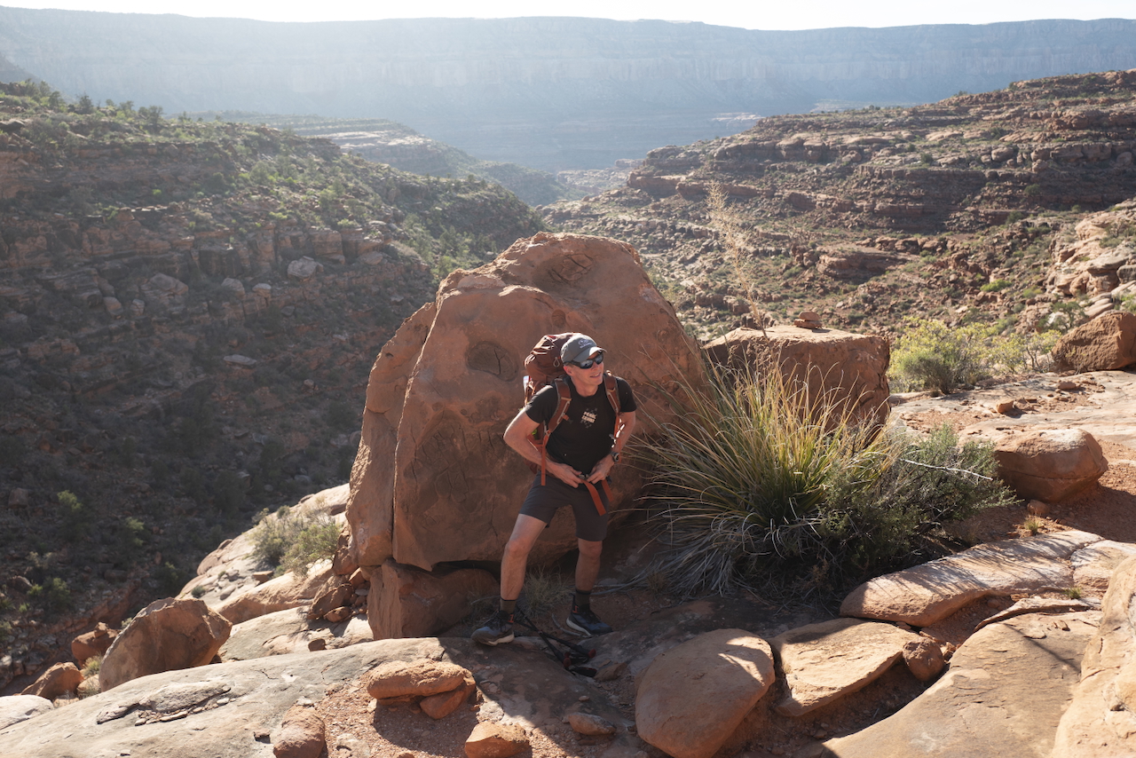
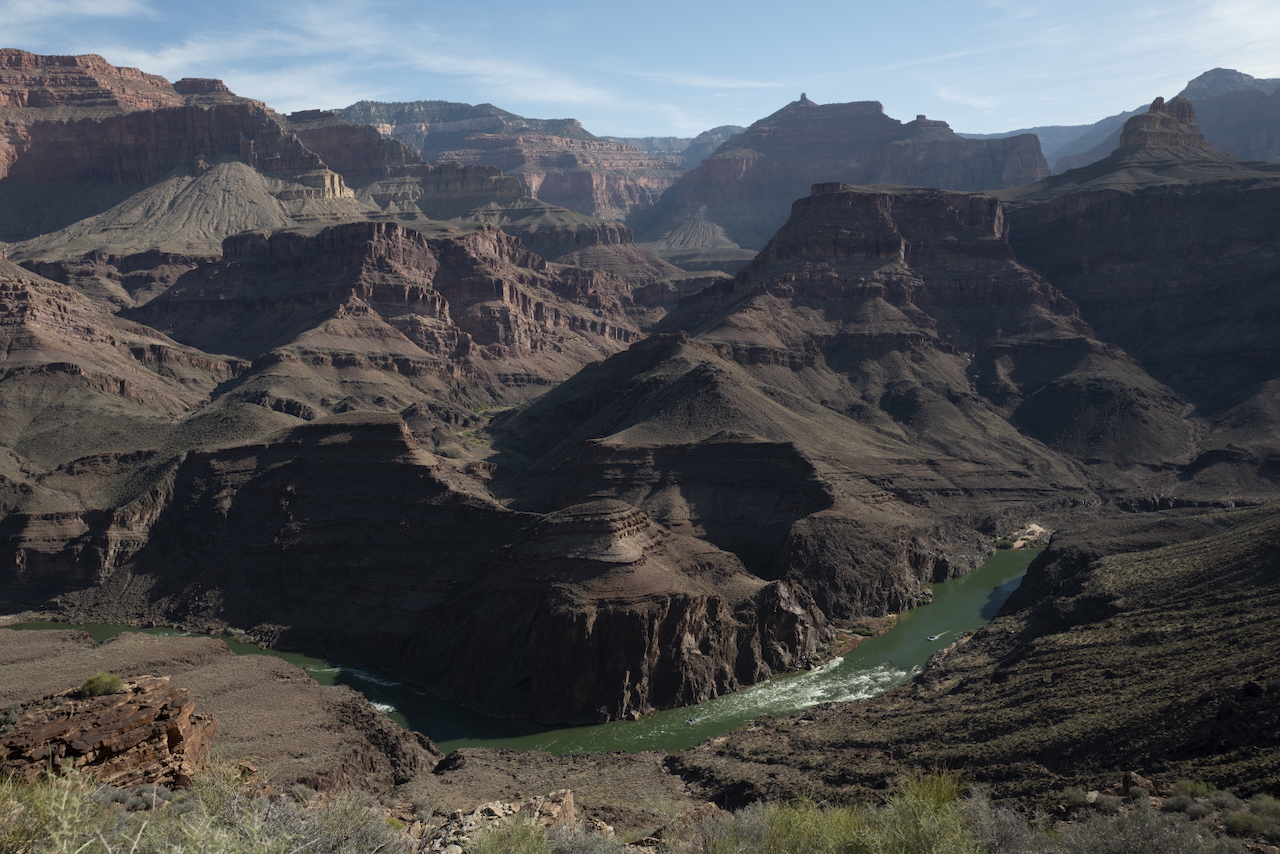
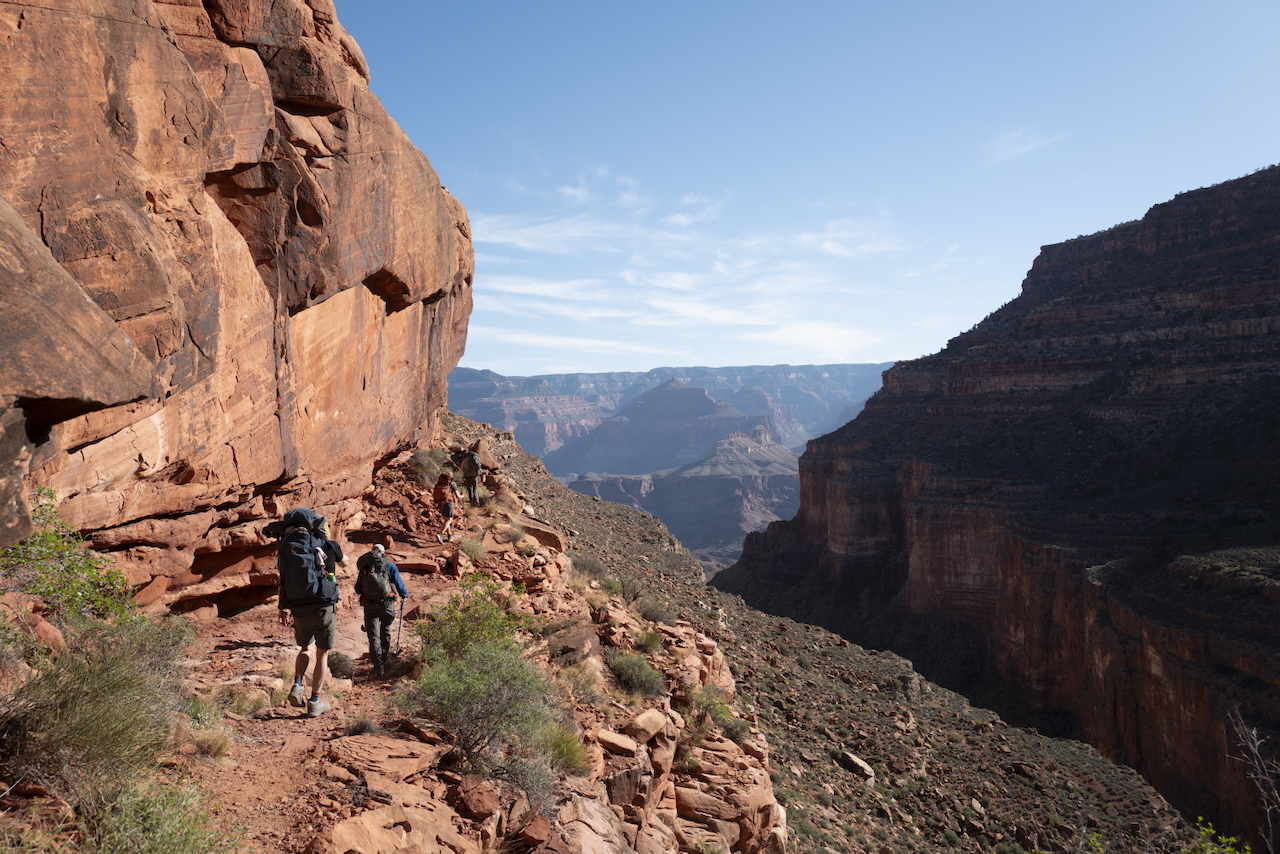
Everyone is in pretty good spirits on the first steps of a hike. There’s lots of chatter; everyone takes photos of all the new scenery; the packs - at their heaviest with food - feel light enough. In the Grand Canyon, the beginning of the hike is down and in.
At the rim, the temperature was mid-70 degrees Fahrenheit. Every thousand feet of elevation drop, you can expect the temperature to rise by around 5 degrees. The river is about 4500 feet below the rim, and it was 98 degrees in the sun at the river.
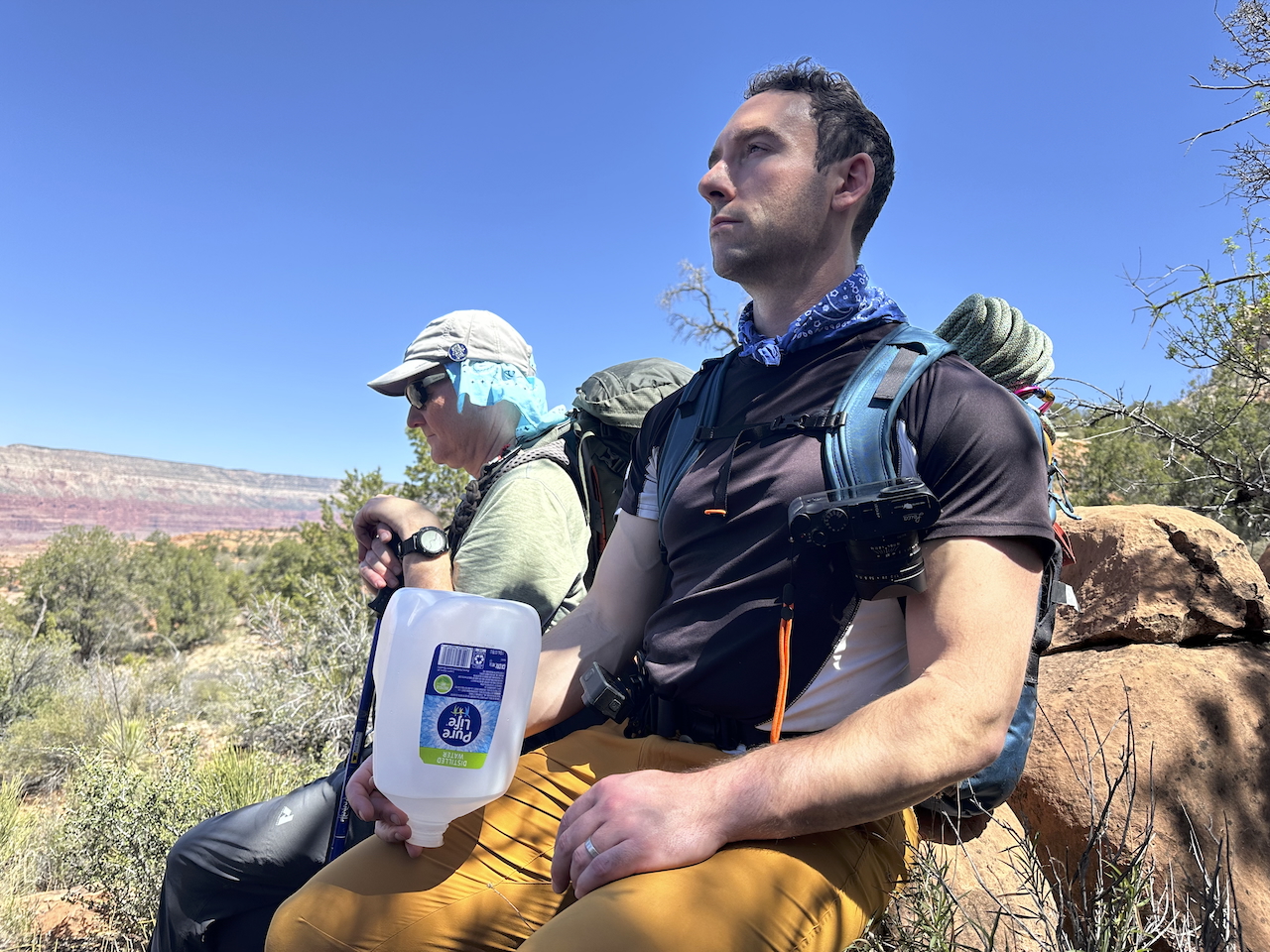
The full Royal Arch Loop is around 34 miles of hiking. We all carried water, but I was worried by the heat at the rim. So, at the last moment, I grabbed an extra gallon jug of water to carry by hand. By late morning of that first day, the thin plastic had brushed a cactus and sprung a leak. Luckily, I was able to patch it by melting a bit of the plastic cap onto the hole: the first patch of many it would receive as I cradled that jug through every step of the 34 miles.
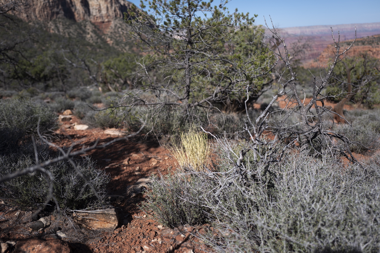
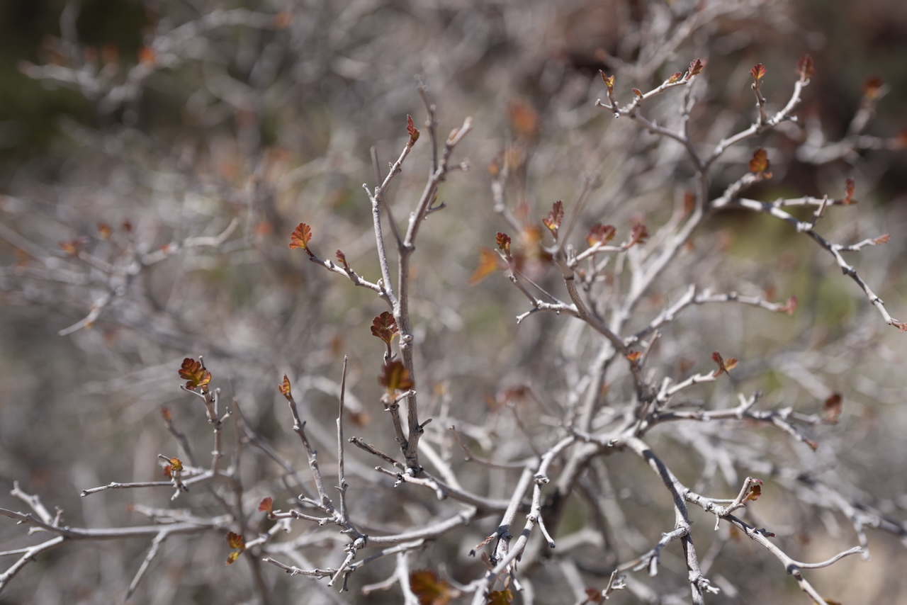
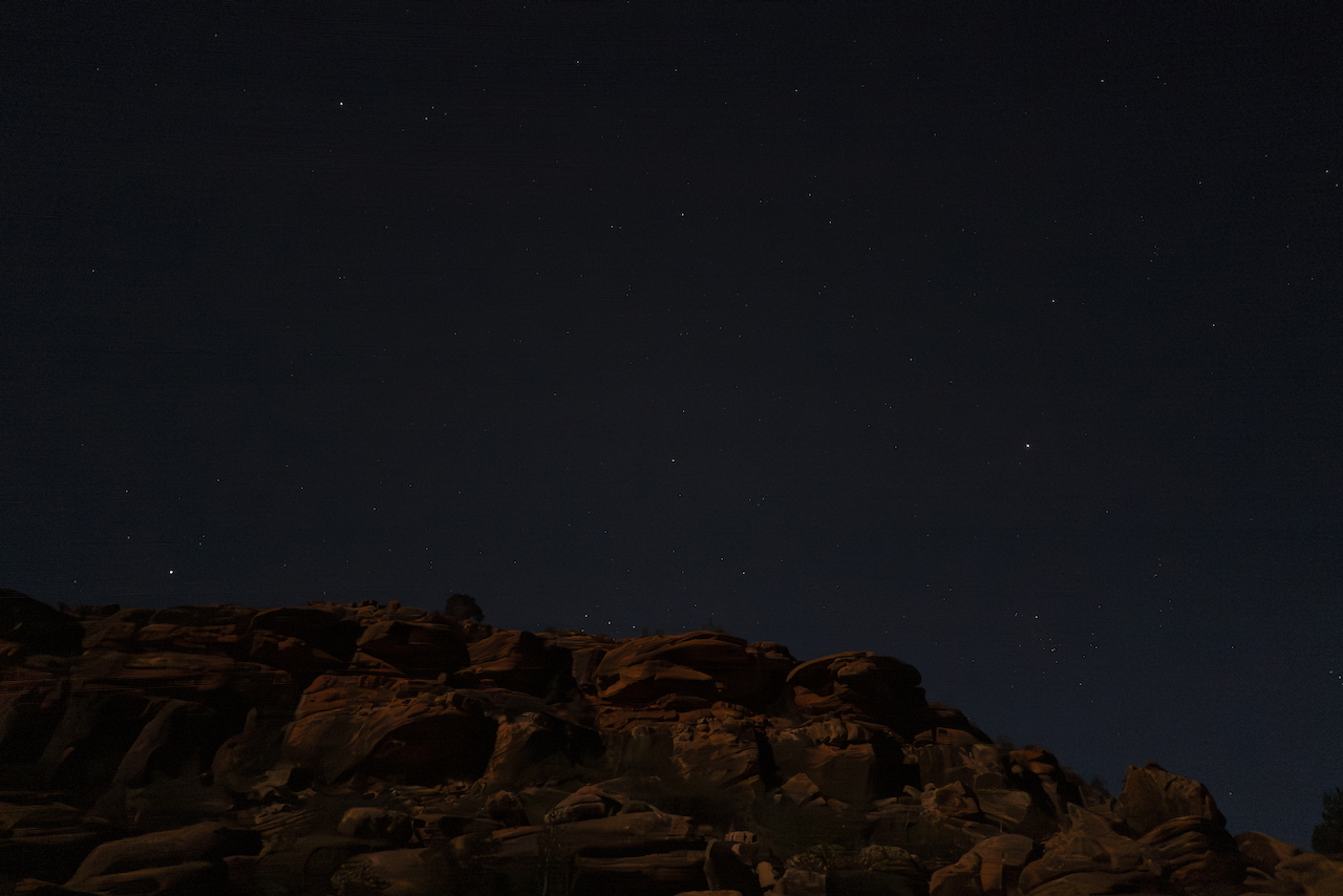
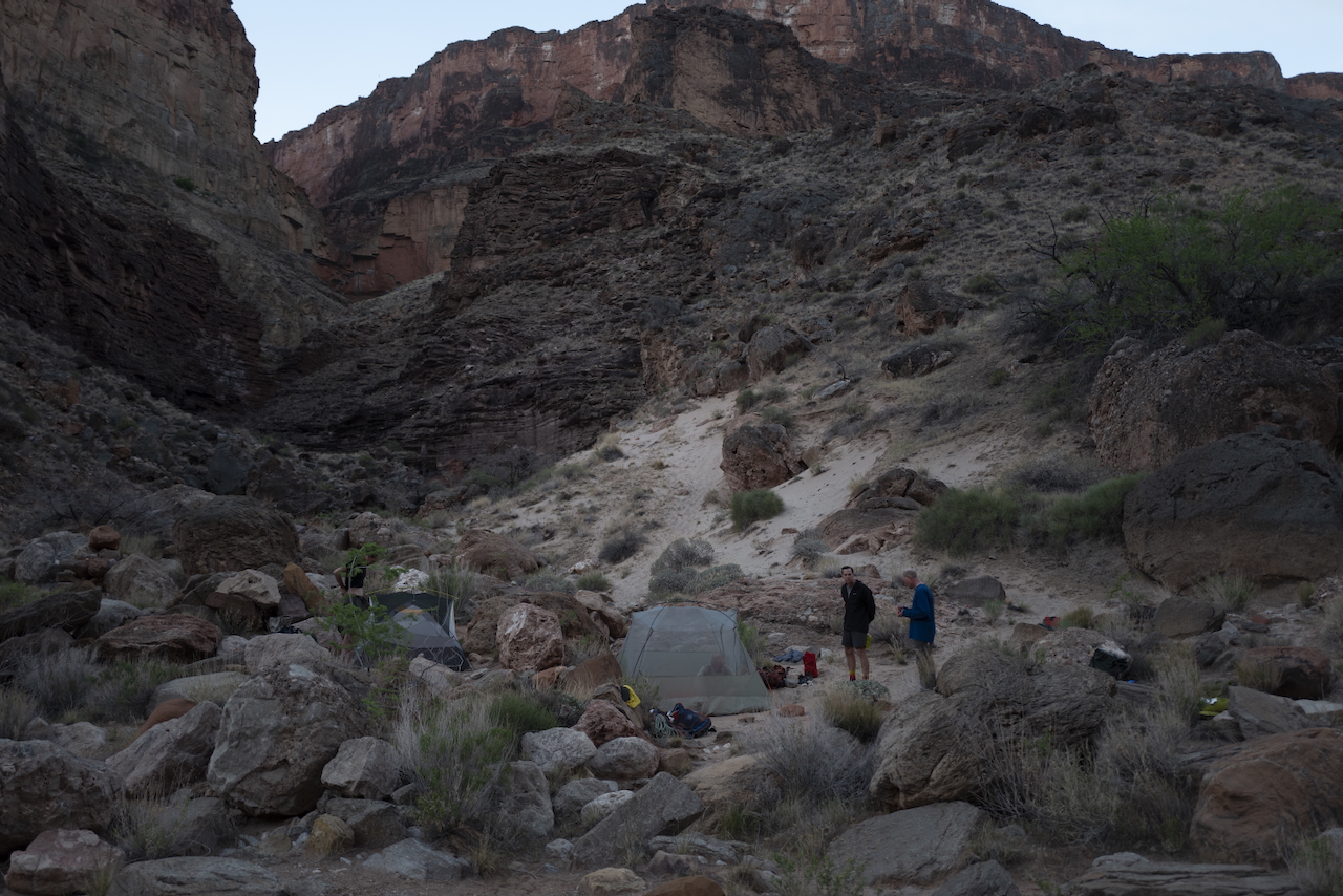
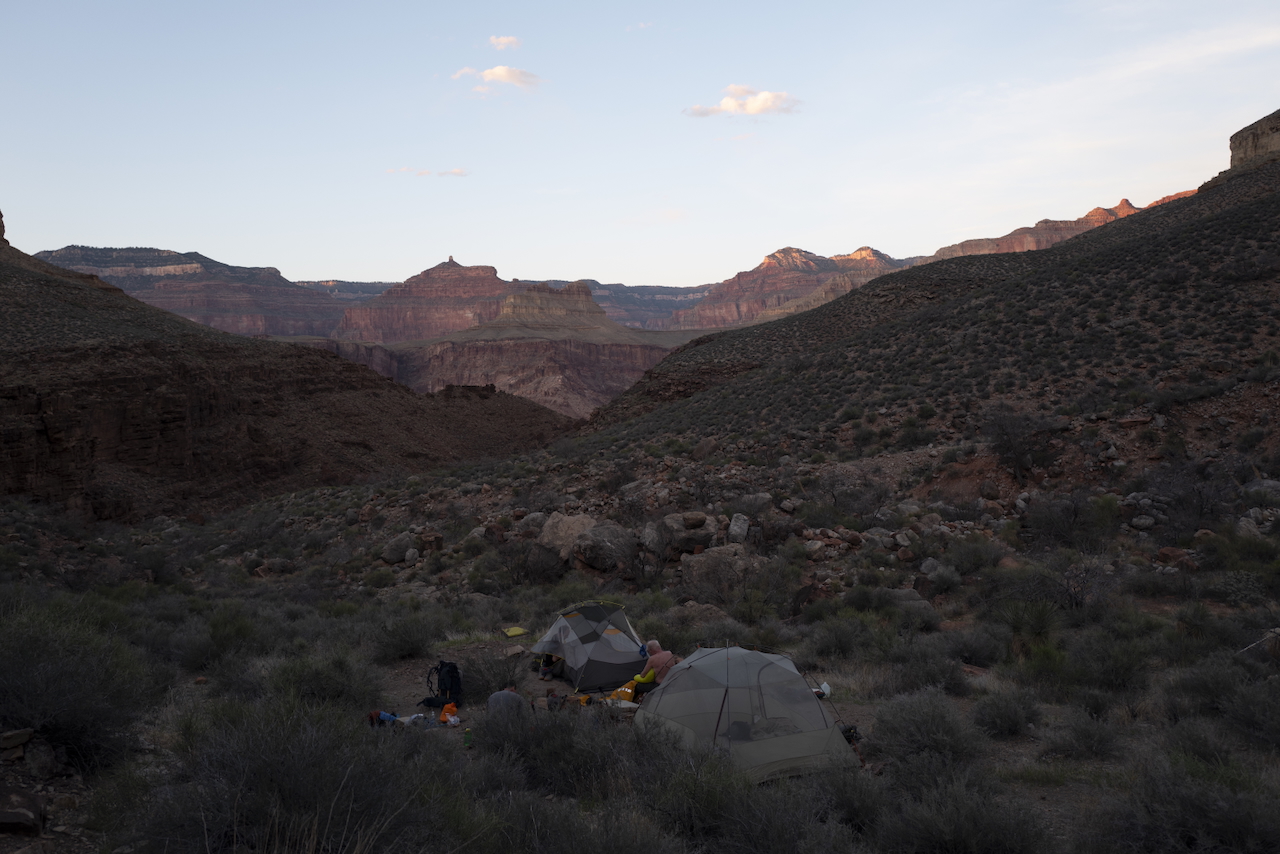
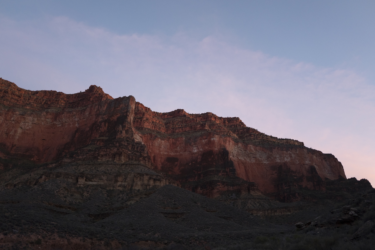
At the end of the first day, we had taken longer than expected but ultimately reached our target campsite: a shaded dry river bed. We enjoyed the stars and smooth stone floors that night as the canyon tree frogs sang loudly. The frogs change color to fit their rock surroundings: as you descend the canyon and the layers of rock change color from white to red to purple, so do the frogs.
Day 1:
- 9.6 miles
- 2580ft elevation descent
Day 2
We left out the next morning around 8am. That was a mistake. This was the day of our big rappel, and I had hoped to get there by end of morning. I wanted to climb with lots of strength and light.
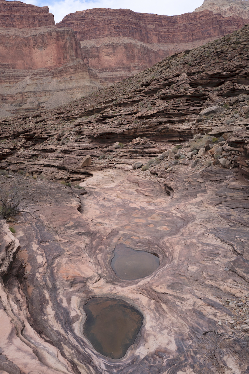
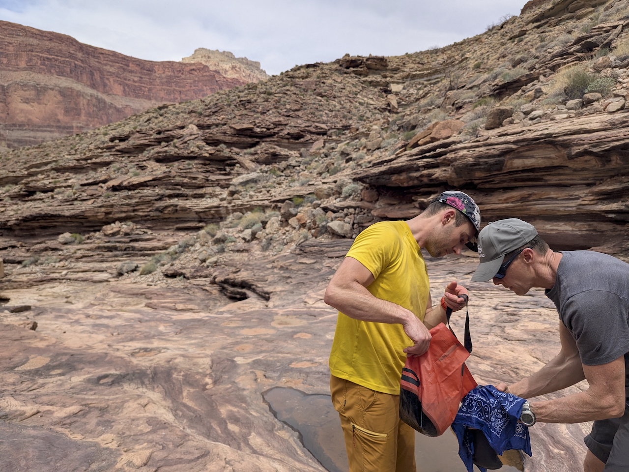
We hiked the river bed and passed some water pools. We picked up some water from them by filtering through Life Straws. You find the water pools where the plants are not: it needs a flat, unbroken rock to pool. You’ll find them tucked into little inlet canyons or maybe at the center of a wide flat riverbed.
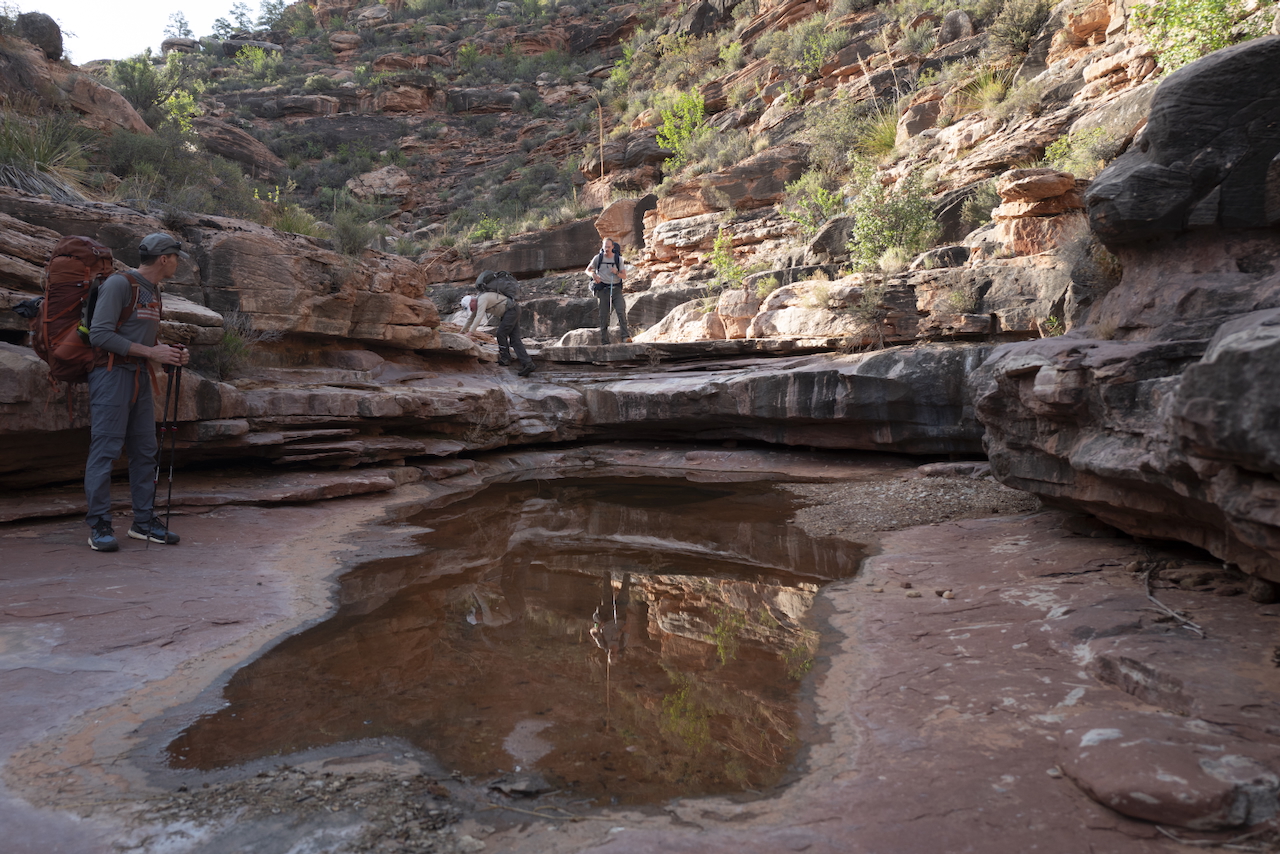
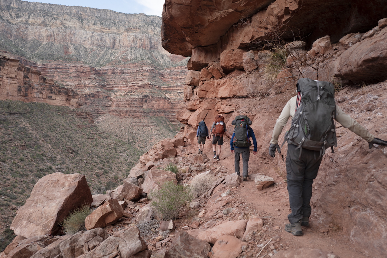
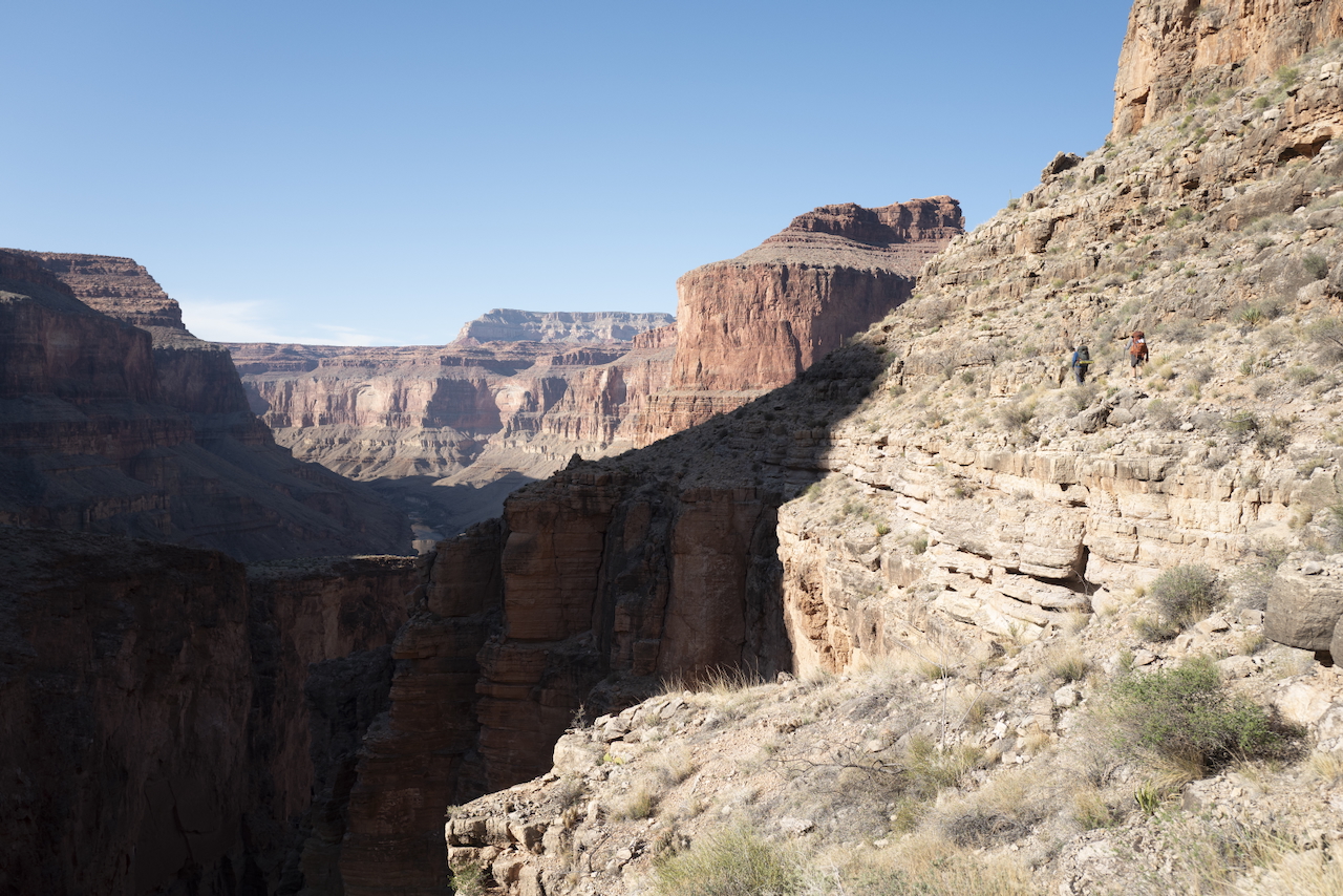
We got lost (for a bit). On a trail this difficult, there are fewer hikers. Fewer hikers means very little disturbance - which means beautiful solitude and scenery - and you mostly navigate by finding cairns: usually three or four small stones stacked in such a way that only a human can. Well, we missed a cairn and just kept walking, convincing ourselves of false cairns. It cost us an extra half mile or so of dangerous ledge, along the canyon cliff face with our bodies pressed against the rock. But at least, on the way back to the trail, we got to practice our first rappel with full gear.
By now we had dropped a few thousand feet, and the heat was sinking in. We were starting to realize the limitations of the water we carried. At lunch, I could barely eat, I was so thirsty and hot. I was learning that, on this hike, I would really only eat at night.
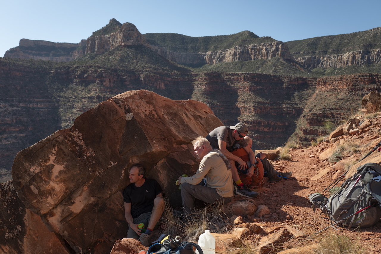
As we went, we were often shade-bathing, as I called it. Instead of sun-bathing, we would take a few-second break in any shade we could find. If the shade covered a rock face, we would press our chests and arms and faces against the stone that hadn’t yet seen the sun. The few degrees of coolness felt like a touch of magic before we pushed on.
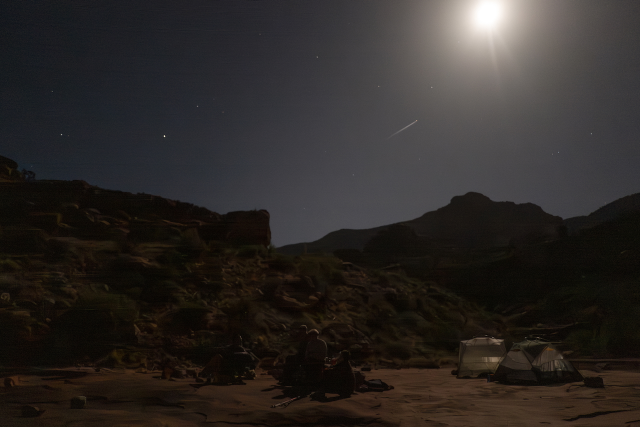
Our 8am start - normally fine for a hike elsewhere - was catching up to us. The heat slowed us down, as did the multiple rock scrambles and drop-offs that had us throwing down our packs to each other. We had miles to cover, and we hiked them. But we didn’t reach the rappel until sunset. I went down first as twilight crept in, and by the time the last of us took off the harness, it was dark. But we still had a ways to climb down, and we were out of water.
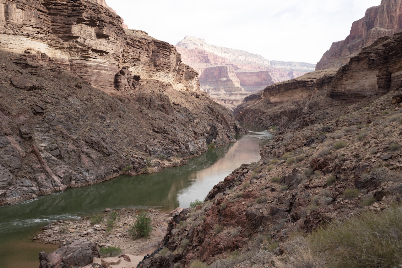
I was glad to have extra rope to lead us quickly down a bit more of the sheer rock face before we switched on headlamps and fumbled our way down to the rushing water. One of us was too spent so I gave them my last drops of water and carried their pack with mine as I half-walked, half-slid down to where I could feel the rock change to sand beneath my feet, where I could drop the packs and run to the river and drench my arms and face in the 45 degree frothing water.
That second night we camped at the river’s edge and I drank I don’t know how many liters of the best tasting water I’ve ever had.
Day 2:
- 8.2 miles
- 2560ft elevation descent
Day 3
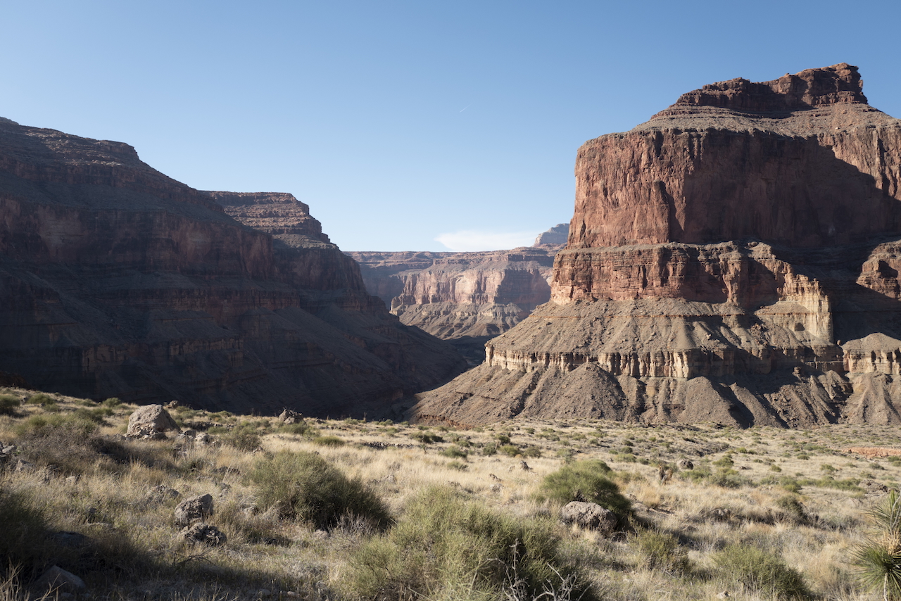
The next morning, we woke up earlier to start the climb upward, away from the river. As you climb, the river sneaks up on you around the canyon corners. The sound and the sight are often remarkably hidden.
By then, we were drinking water only one mouthful at a time. It would be almost two days before we see the river again, and we’re settled into the thirst. We found another pool and I tried to drink it but the water had leached through too many salts and made us gag. We climbed up through canyons so steep we pulled out the rope again and eased ourselves across ledges. We stopped for lunch and Mike pulled out an apple, which we sliced and sucked the juice from like the gift it was.
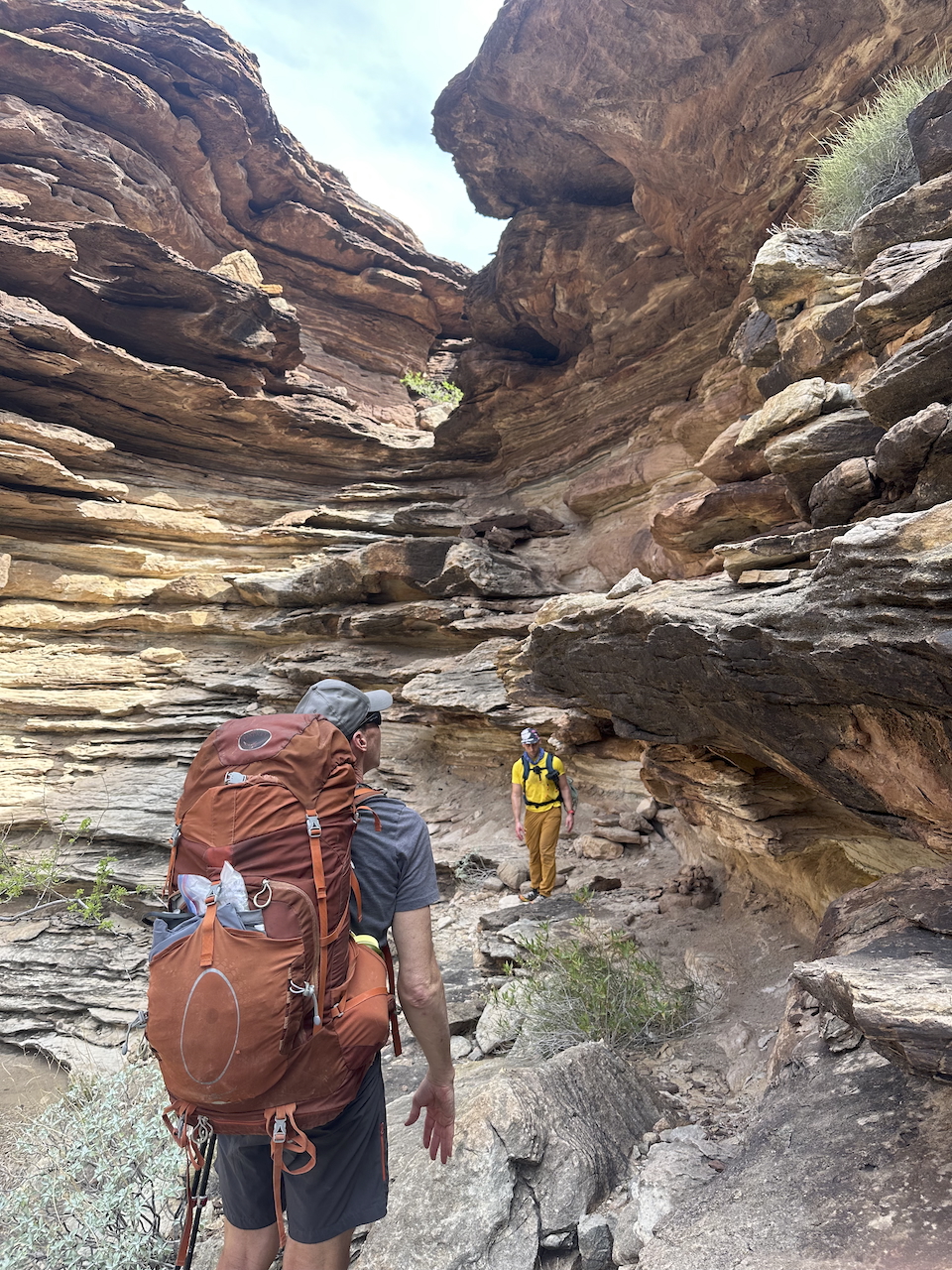
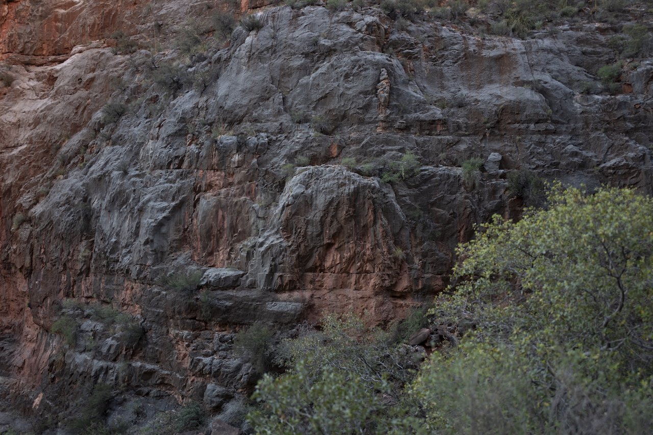
Under a ledge, in a spur canyon, we found a skanky rainpool with a bunch of bugs and mosquito larvae. We filtered it through a bandana before the Life Straw and that was good enough to drink. As we drank it, the pool got smaller and smaller, visible against each layer of rock. The rock layers are like tree rings. You can find similar ones across many of the canyon walls.
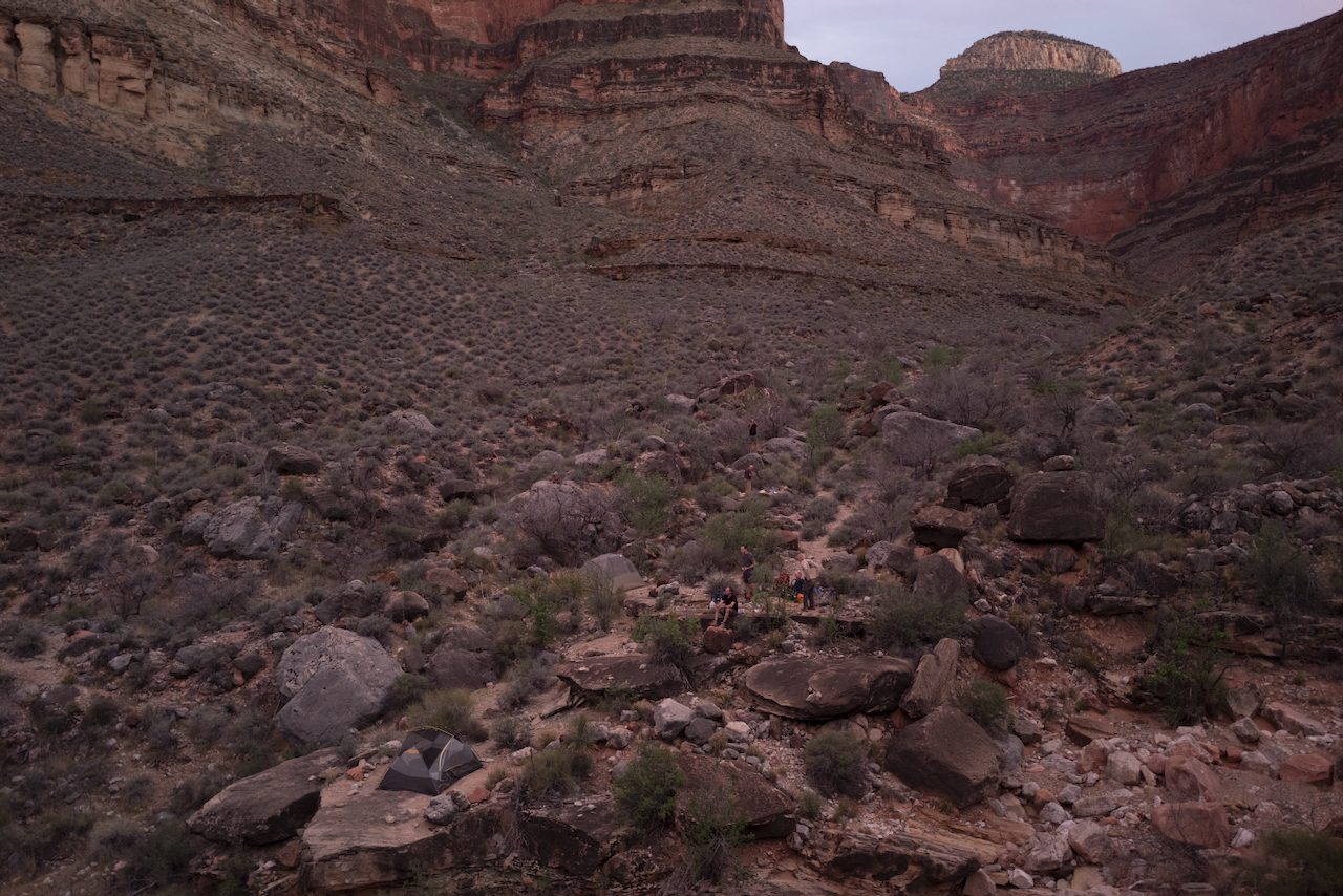
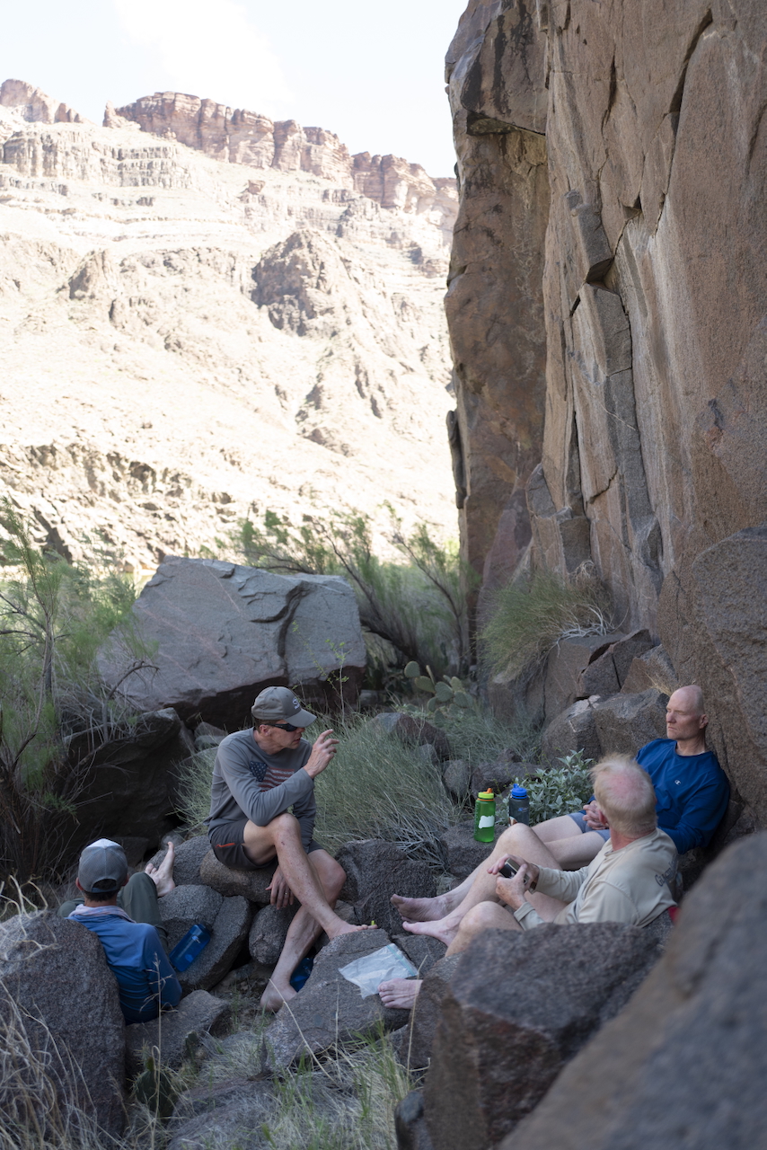
That afternoon, one of our group got heat sickness: too little water made him dizzy and too much water made him vomit. Luckily we had a bit to spare and made it to Copper Canyon for the night. We had hiked 10 miles, up and around, to a beautiful sunset view. We shared the campsite with another duo: Bill and Roger, 68 and 72, respectively. This was their third time hiking the same loop and we soaked in their advice.
Roger told us their story of the previous night. They had hiked down the same path we took, landing at the river beach after two days hiking. Bill had secretly carried a bottle of Cherry Dr. Pepper and, when they found the river, had buried it in the river to chill. He pulled it out and put it in Roger’s hand as they sat on the twilight beach. Hearing this made me tear up.
Day 3:
- 9.9 miles
- 1830ft elevation ascent
Day 4
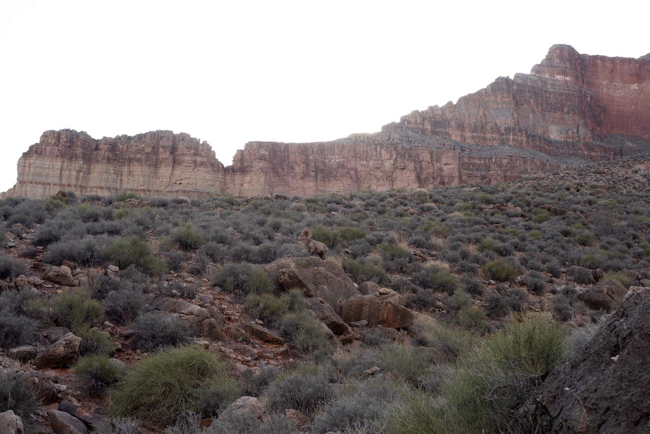
The next morning, we left earlier still. At daybreak, we were on the trail and met some majestic big horn sheep. Often, we were walking with the canyon sloping upward on our right and a sheer cliff - a thousand feet down - on our left. I focused on walking with one foot in front of another.
When you’re hiking in such desert heat for so long, you’re breathing as much as possible through your nose. Open your mouth and you can feel the water evaporating out of you. Talking is expensive. I found myself pointing to communicate.
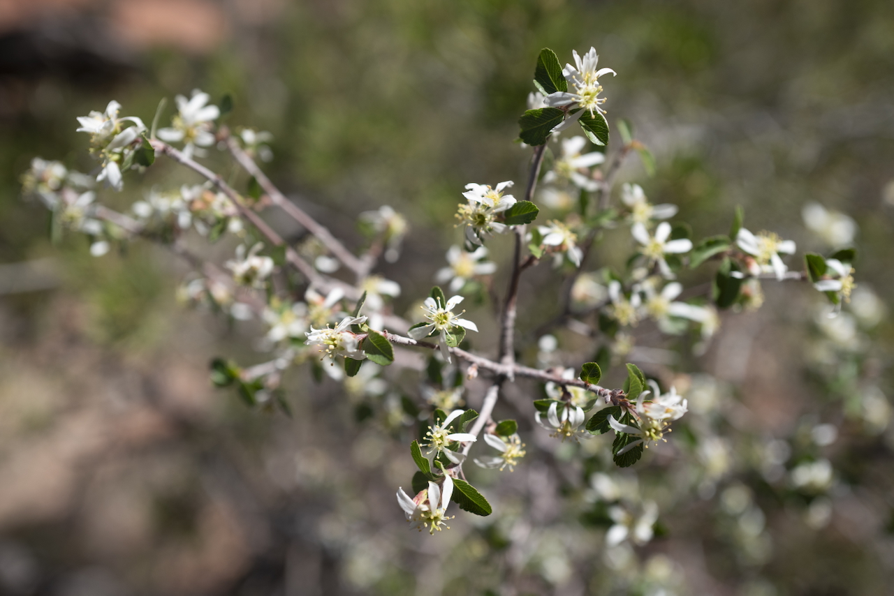
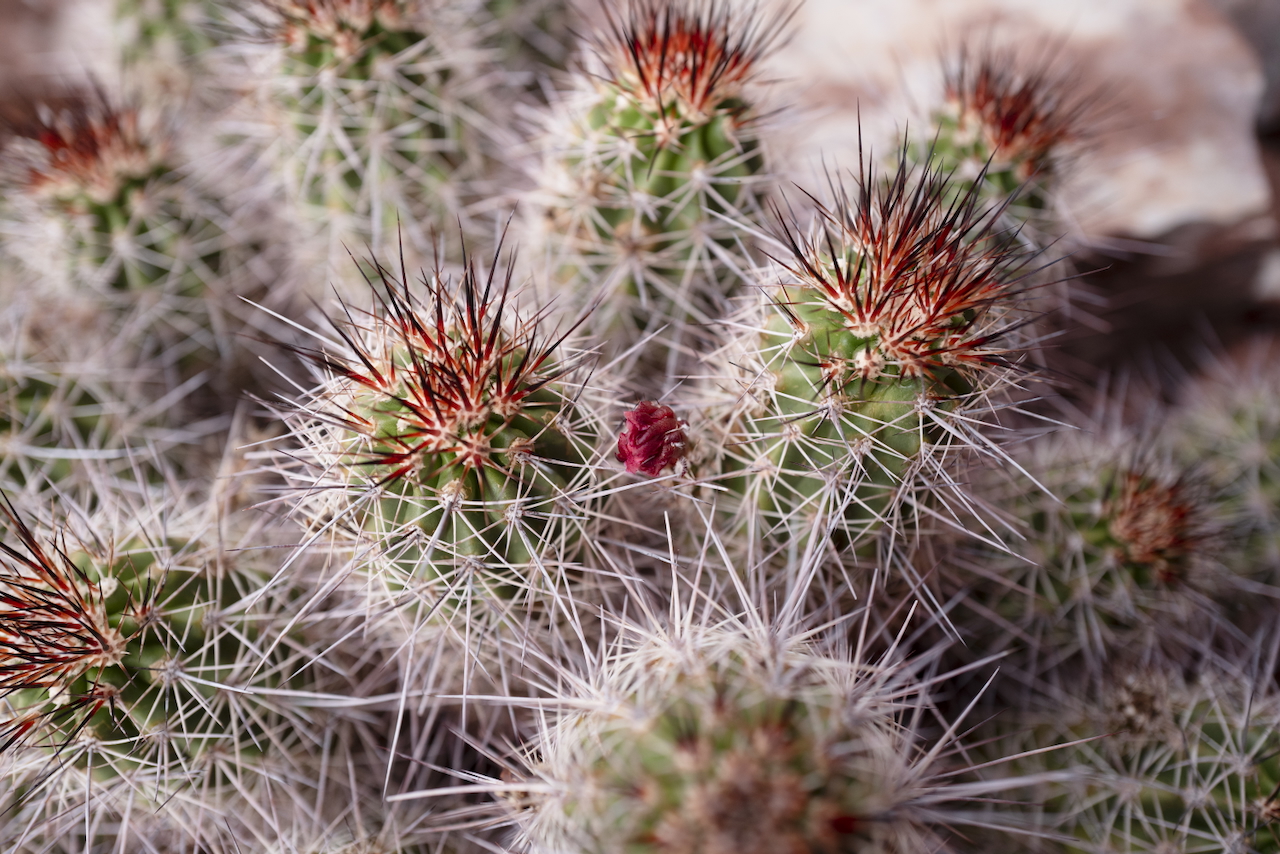
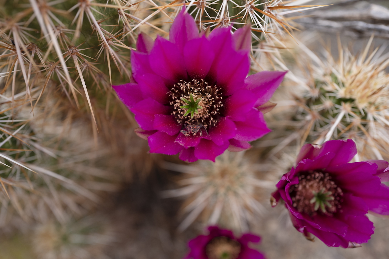
In breathing through your nose constantly, you smell everything: the desert sage, the honeysuckle-like bushes that bloomed, the cactus flowers. Even the cooked dirt we kicked up and the cool air itself had a smell as we passed through. But the dust and the dry takes its toll: thick clots of blood formed in my nose and I had to stop and wipe them off on the rock face.
We reached a fork in the early afternoon, where we would come back to the same point on the hike out the next day. A quick decision and we pitched tents and dropped most of our gear, only keeping food and water vessels, and finished the hike down the river. In the height of the sun, it took forever to get down to the river.
As my feet hit the sand again, I dropped my pack and jumped fully into the rushing river. The cold water was incredible. I clambered out and jumped in again.
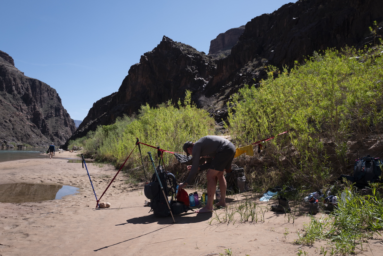
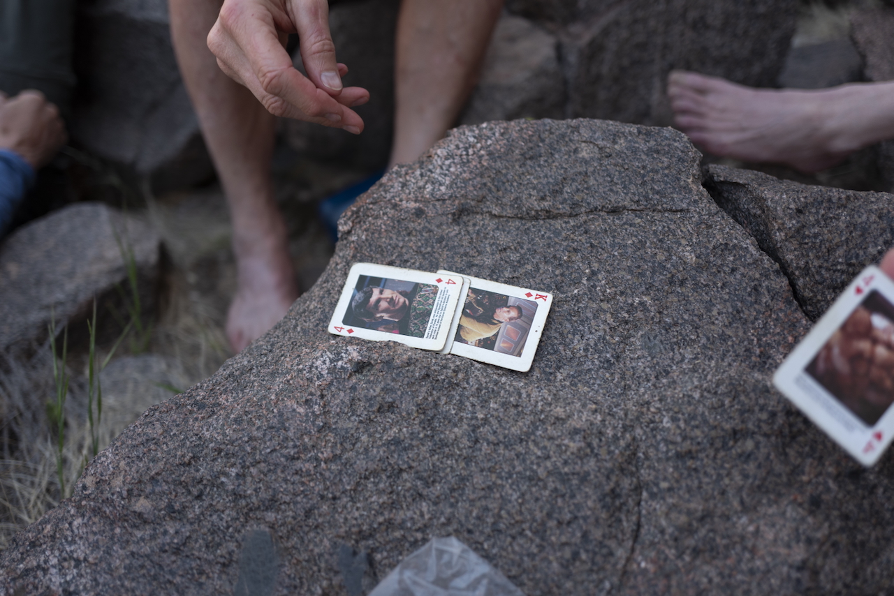
We relaxed on the beach that afternoon, basking in the shade as the rafters floated by. I think I ate 3000 calories and drank a couple gallons of water. We played games with the same deck of cards we’ve carried on the previous hikes.
Before dark, we left the river and climbed up to our tents for one final night. This is what we should have been doing every day: hiking from dawn twilight to late morning, then resting in the sparse shade for a couple hours until afternoon, and then hiking again until dark. We had learned the hard way.
Day 4:
- 9.1 miles
- 2060ft elevation ascent
- 1980ft elevation descent
Day 5
The final morning, we left by 6am. But still the climb was immense: we needed to gain around 4000ft of elevation and the sun got hotter every hour.
Slowly but surely, we pushed ourselves up and out. This climb is relentless, but more traveled. The steps are worn into some rocks, and the increasing vegetation is encouraging. We passed a few other hikers on their way in, and gave our guidance gently.
At the rim again, we guzzled our reserve water and drank beer. I still had some water from the river in my gallon jug. And I fondly traced our travel, looking back down the canyon: dangerous and beautiful.
Day 5:
- 5.4 miles
- 3330ft elevation ascent
Gear Notes
I burned through about half the tread on my hiking boots. I think through a combination of grit and heat.
The rappel is technically supposed to be around 20ft. I brought 40m of rope, because I didn’t want to cut it. We used all of that length to smoothly get down the rappel and the subsequent scramble in one climb. I don’t think it was necessary, though, if you were doing it during daylight. There was plenty of anchor/webbing at the top of the rappel that we used, but we used our own webbing several times for smaller climbs up and down smaller canyons.
The Life Straw was incredibly useful. At the river, we collected water in a four-gallon collapsible bucket to settle sediment and then sterilized it with a Steripen in liters.
I really only ate at night/morning and when we had water. I had a ton of food left over in my pack, based on previous hikes in temperate climates. I ate 3 of the 6 dinners I had packed.
This was my first backpacking trip wearing the Garmin Instinct 2X Solar watch. I had hoped it could last without a battery pack, solely on solar, but I did end up charging it on the third night. One recharge was sufficient for the rest of the trip. I was using it to track every hike - around 11h/day - and I think the weak GPS signal really taxed the battery. But it was reliable.
Flagstaff
After the hike, we drove straight to Flagstaff and recuperated there for a day. The first night we devoured huge fantastic pizzas from Oregano’s. The day after, we ate a great lunch at Diablo Burger and a warm dinner with cold beers at Mother Road Brewery. I recommend them all heartily.
Further Reading
Note
I took a lot of video on this trip. I’m going to edit it into something fun. I’ll link that here when it’s ready.
My friend Joe wrote his own review of the trail on AllTrails.
While planning this hike, we mostly consulted Royal Arch Loop - The Ultimate Backpacking Guide from Halfway Anywhere.
For a more unfortunate version of this hike (still survivable), you can read GRAND CANYON 2014: I NEVER LOST ANYTHING UNTIL I LOST EVERYTHING – A WORD OR A GLANCE OR A RAGTIME DANCE.
Reference
| ← Previous | Next → |
| Morning Hike 🥾 | Afternoon Weight Training 🏋️ |